UAV - Inspection
Select an inspection site to read its case study

Rail
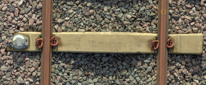
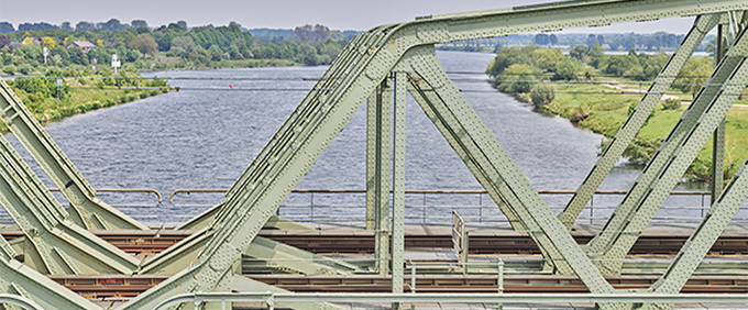
AeroInspekt – Drone Photogrammetry Advances Crane Railway Inspection for Port Transshipment Systems

Site & Safety
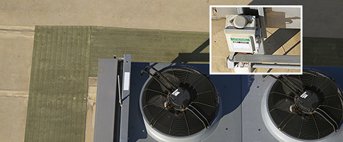
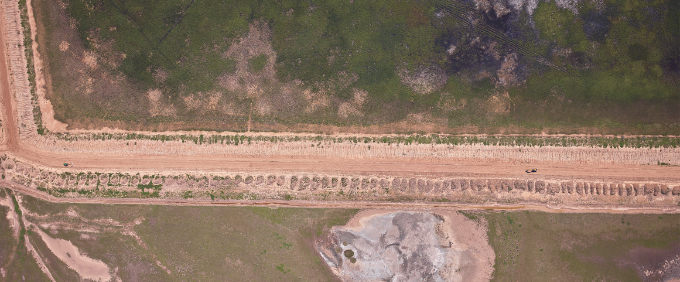
AM/NS Calvert - Property Inspection, Acquiring Data in 70% Less Time with Phase One iXM-100 camera

Power Line/Telecoms
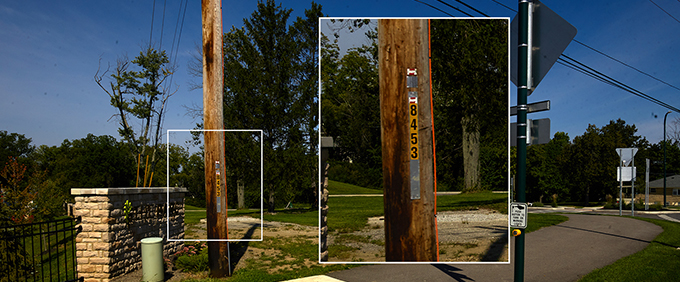
Siemens - Revolutionizing Powerline Inspection with Multi-Sensor Systems and Artificial Intelligence

Urban Projects
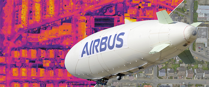
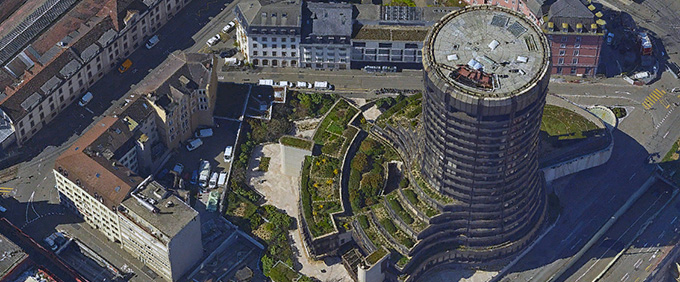
Airbus ALTair - Using High-resolution RGB Cameras to Create High-definition 3D Thermal Models

Construction
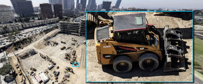
Phoenix Vision360 – See the World with a Bird’s-eye View: Interactive 360° High-Resolution Aerial Imaging
UAV/Drone
INFRASTRUCTURE • CONSTRUCTION • TELECOMMUNICATIONS • VEGETATIONManned Aircraft
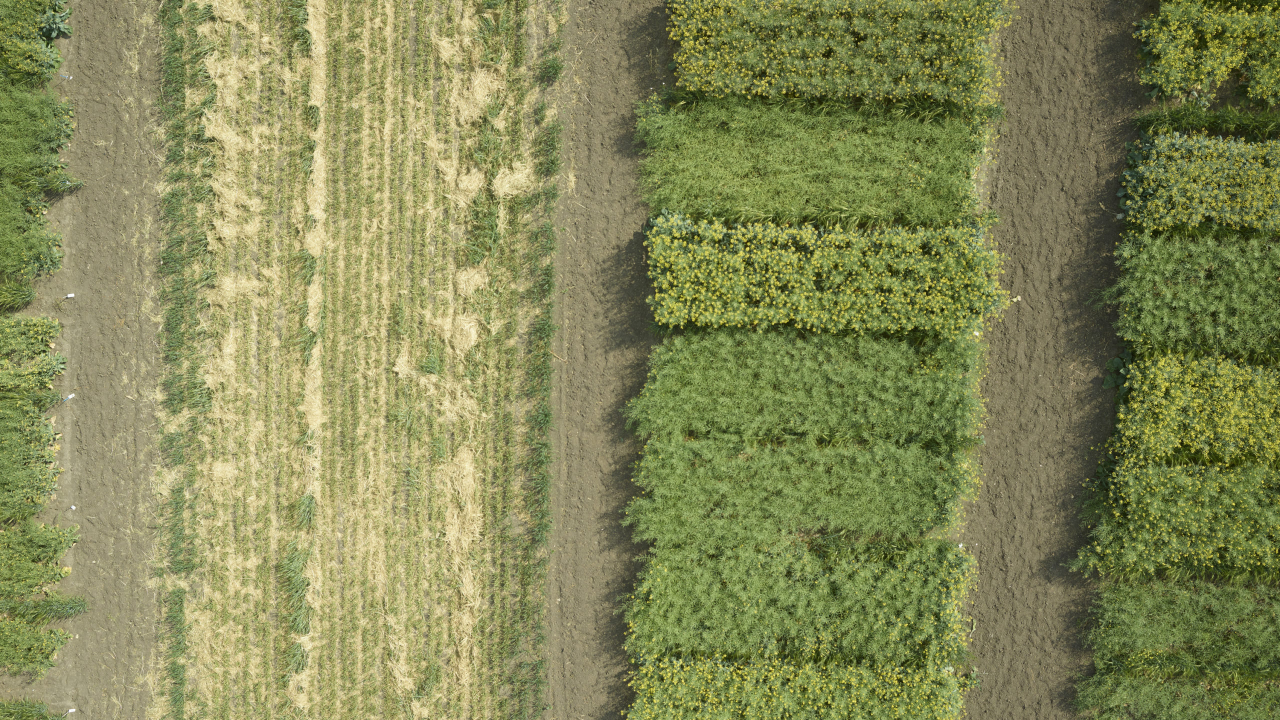
MAPPING & SURVEYING • AGRICULTURECase Studies about Phase One Geospatial High-resolution Cameras and Aerial Systems for Mapping, Surveying, and Drone Inspection Applications.
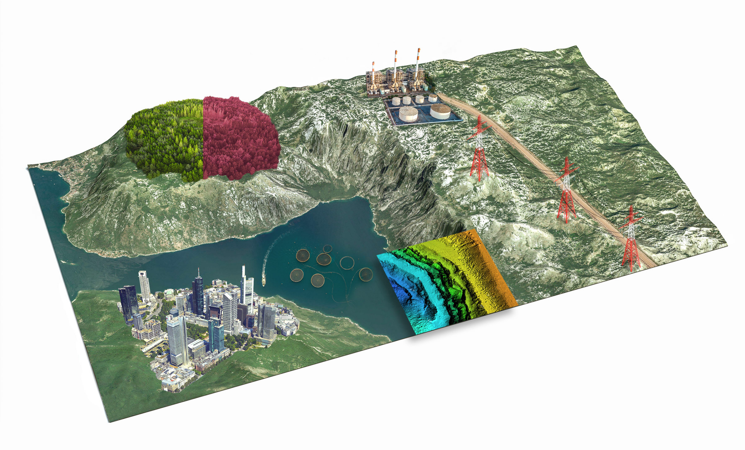
Phase One provides innovative solutions for precise and simplified aerial mapping, surveying, and inspection missions. We provide accurate and consistent aerial data with an easy-to-integrate product range that enables an easy execution of photogrammetry projects with high-resolution images for 2D and 3D applications.
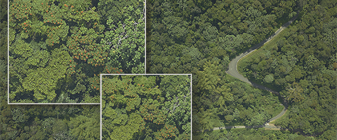
Get full-frame 150MP resolution data with our iXM-RS150F camera for aerial image acquisition projects including Mapping, Corridor Monitoring, Agriculture, Oblique Imagery, 3D City Modelling, and Imagery for LiDAR. Phase One Aerial Solutions offer large area performance, are affordable, and accessible for use with a wider range of aircraft.
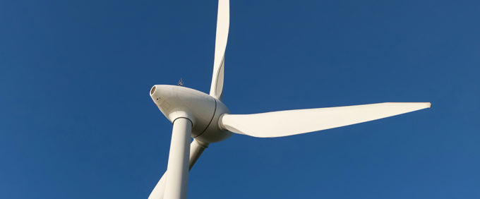
Our iXM camera series is specifically designed for large surface coverage at extremely high resolution, to provide exceptional aerial imagery that enables millimeter-sized inspection and damage detection and easily integrates with many drones for applications such as power line, wind turbine, road and bridge, and pipeline inspection.
