Exclusive launch: Phase One iXM-RS250
Be the first to experience Phase One’s most advanced aerial mapping camera — the iXM-RS250. Delivering the widest coverage from a single sensor, ultra-high resolution imagery, and groundbreaking IIQ-X compression technology, the iXM-RS250 sets a new benchmark for geospatial productivity.
Need a ticket for Intergeo? Email us today to request your voucher and reserve your spot.
A future-proof investment – Start now, be ready for what’s next
Secure your competitive edge today by deploying the iXM-RS150, a proven, production-ready solution. With a guaranteed plug-and-play upgrade path to the iXM-RS250, you can move forward with confidence while preparing for the next leap in aerial imaging.
✅ Immediate deployment of the iXM-RS150 for ongoing and upcoming projects
✅ Guaranteed upgrade to the new iXM-RS250 at launch — fully compatible, zero disruption
✅ Plug-and-play transition — same camera body, no hardware changes required
✅ Exclusive access to early prototypes, SDKs, and launch insights
Visit us at Booth #12.0 0F020 to explore:
✔ Next-generation aerial mapping solutions with the new iXM-RS250
✔ Future-proof upgrade path with the iXM platform
✔ High-efficiency inspection and surveying workflows
✔ Real-world success stories from global customers
Book a meeting with our team at Intergeo and see the iXM-RS250 first-hand.

High-end mapping imaging technology from above
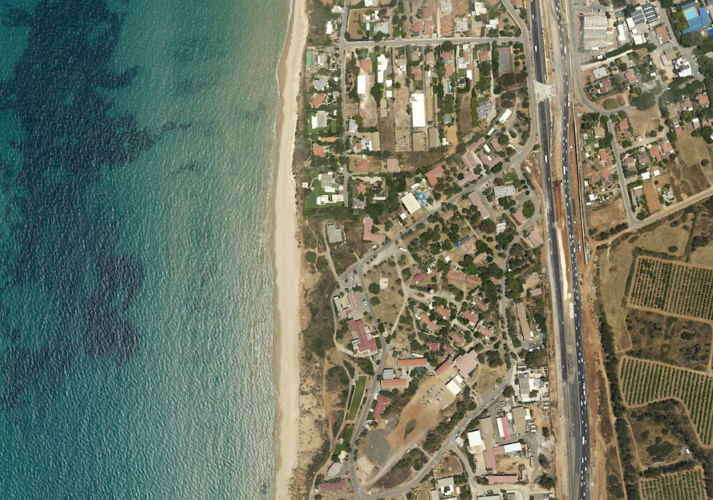
Our aerial photography solutions and camera systems feature superior quality imaging sensors for sharp, distortion-free images and accurate geospatial data. We ensure unparalleled aerial mission success, from flight planning to execution and final data delivery, prioritizing high image quality, reliability, and productivity.

Discover the future of inspection and surveying
Phase One P3
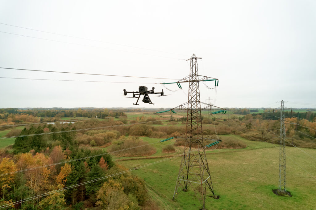
Phase One P3 is engineered to enhance productivity in demanding inspection projects where time, safety, and image details are crucial. With new features like vertical mount and smart triggering for continuous wind turbine inspections, your productivity reaches new heights.

Phase One P5
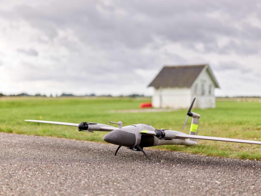
Phase One P5 is the first UAV payload designed to meet the highest engineering surveying standards. With its compact design and lightweight (<700g), it is perfect for portable and user-friendly mini fixed-wing and transitional UAVs. The P5 delivers exceptional accuracy down to 0.5 cm, revolutionizing engineering surveying projects.
