Digital Aerial Photography Archive for Baden-Wuerttemberg
Reconstruction of the Past Helps Future Urban Planning
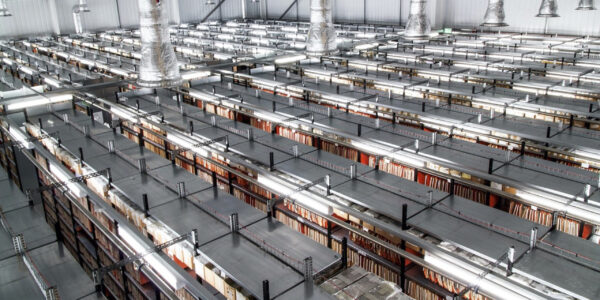
Approximately 300,000 analogue aerial photographs from Allied aerial reconnaissance flights of Baden-Wuerttemberg state, Germany, make up the aerial image archive of the Landesamt für Geoinformation und Landentwicklung BW (LGL).
Area-wide orthophotos will be produced from selected aerial photographs taken over the different time periods, as part of the LGL digital@bw digitization strategy. These true-to-scale images will be made available to the public as a digital aerial archive and Web Map Service (WMS) service.
Historical aerial photographs allow a reconstruction of the past and can therefore provide important information for future planning processes. One application for such photographs is with real estate planners who are required to use historical aerial images to identify potential unexploded bombs left behind from World War II. Among the many other possible applications is the analysis of changes in land use over the decades, e.g. with regard to road and settlement development.
Project manager: Theresa Herbst
Project participants:Martin Riemensperger LDBV München (Agency for Digitization, High-Speed Internet and Surveying), Siegfried Brändle team leader and expert for photographic reproduction
High Resolution and Accuracy, HighSpeed, and Minimum Distortion
High-resolution digitization of the individual aerial photographs preserves all the information and fine detail in the analogue images needed in order to generate orthophotos. LGL already had scanners specifically designed for aerial image digitization, with radiometric characteristics and resolutions that met the digitization requirements. Although, their current system reaches the required image accuracy, it takes around nine minutes per scan. The 300,000 collection of images would therefore take close to a decade to complete and so it was inefficient for the project. Expensive system maintenance was also a consideration with a service level agreement costing tens of thousands of Euros.
Theresa Herbst, Project manager, had to find a more efficient alternative in order to implement the project. Together with Martin Riemensperger from the LDBV preliminary considerations lead to the conclusion that a system with a minimum resolution of 1100 dpi needed to be acquired. Furthermore, the new imaging system had to ensure a digitization process with minimum distortion and highest repeat accuracy.
The camera solution significantly simplifies the digitization process. Due to the faster workflow, we can now transform our analog archive very quickly.
Improved Workflow with The PhaseOne 150 Megapixel Camera
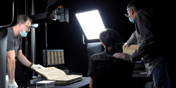
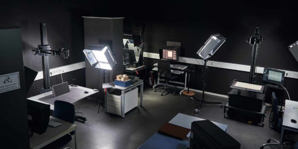
The Phase One 150MP camera with Linos inspec.x L 4.0/100mm lens, and modified Phase One copy stand was the preferred choice after several other camera demonstrations and test runs. With 150 megapixels, the 1100 dpi resolution was confirmed not only in theory but also in practical application. The metric camera offers an accuracy of 20μm when scanning an image in one shot instead of the nine minutes. The 4.0/100mm lens ensures consistently high image quality. Due to its 1:5 scale and distortion-free display, this lens is ideally suited for the digitization of the aerial image archive. The copy stand and lens are fixed with screws and cannot be adjusted, so as to ensure that the required repeat accuracy is guaranteed as well as easy to handle solution.
Easy to Use yet Robust User- interface – Capture One CH –Simplifies Digitization
After setting up, providing on-site training, and establishing the optimal workflow, the new digitization solution was put into operation. With two Frames per second at 16bit and its easy to use yet robust user-interface with Capture One CH software, the Landesamt für Geoinformation und Landentwicklung in Stuttgart is now able to digitize 500 aerial photographs per shift.
Theresa Herbst makes a first assessment: “The camera solution significantly simplifies the digitization process. Due to the faster workflow, we can now transform our analog archive very quickly.” Thanks to the pioneering technology of the Phase One 150MP camera, the LGL is now ideally equipped for the future and looks forward to all upcoming digitization tasks.

Heritage
Preserving Manga Art: How Shueisha Digitizes Japan’s Cultural Heritage with Phase One

Heritage
Creating optical twins of ancient ceramics for a global asset library
Heritage
Recovering ancient Chinese records with multispectral imaging
Heritage
Norway’s National Library Increases Digitization Efficiency With Phase One iXH 150MP

Heritage
Revealing Lost Evidence of Ålesund’s Fire With Rainbow Multispectral Imaging
Heritage
Digitizing a Serbian Manuscript from the 12th century
Heritage
Digitizing Panorama Formats with Phase One
Heritage
Modular digitization at the Herzogin Anna Amalia Bibliothek
Heritage
Goethe in Weimar’s digitization center
Heritage
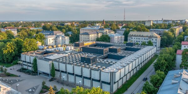
University of Tartu Library
Heritage
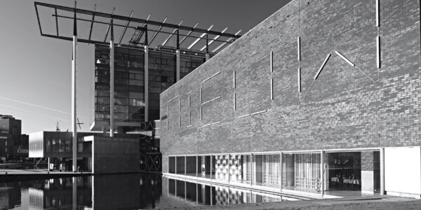
Het Nieuwe Instituut (The New Institute) – Rotterdam, The Netherlands
Heritage
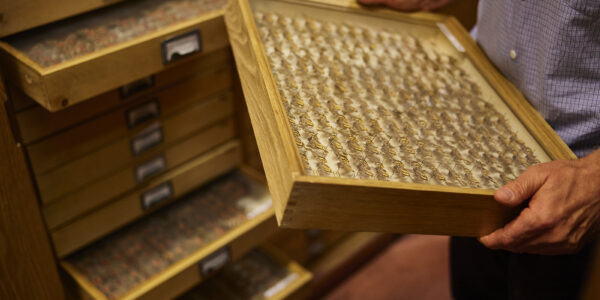
Digitizing the Lepidoptera collection at the Hungarian Natural History Museum
Heritage
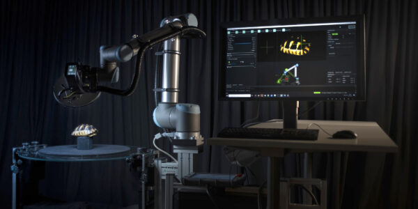
Digitizing Dinosaurs and the Path to Virtual Exhibitions
Heritage
Getty Images Archive – Phase One iXG 100MP and Film scanning solution
Heritage
The Royal Library of Denmark