Scalable solutions for any project size
Phase One geospatial imaging
Advanced imaging, accurate analysis for geospatial applications in mapping, surveying, inspection, and security.
Why Phase One geospatial imaging
Unrivaled image quality for maximum reliability and productivity. Our aerial cameras deliver superior resolution, dynamic range, color fidelity, and geometric accuracy — ensuring accurate data collection and minimized downtime.
With more than 30 years of expertise, we collaborate with leading technology partners to deliver mission-critical imaging solutions for professionals across industries.
What is Geospatial Imaging?
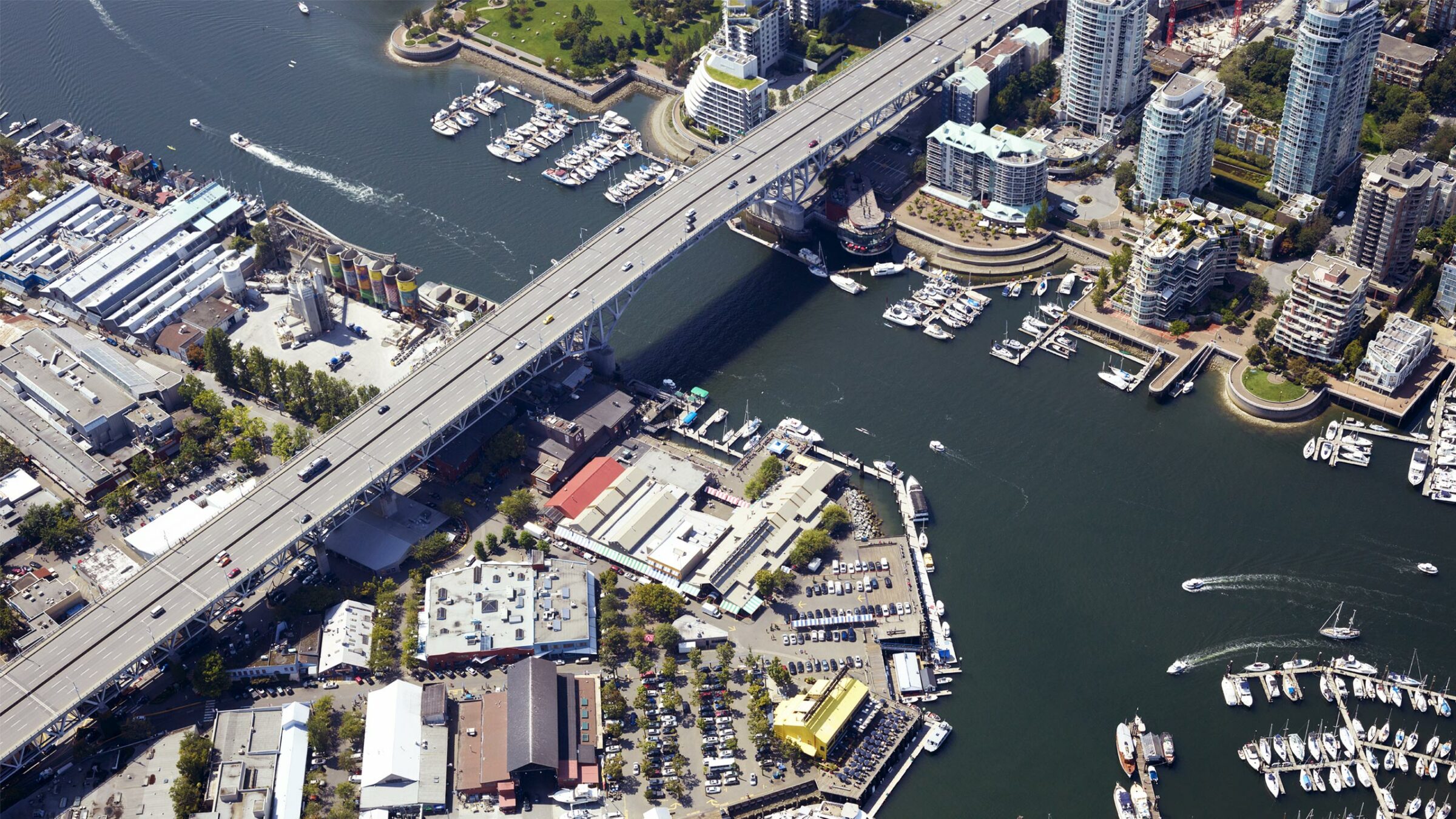
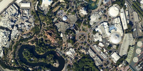
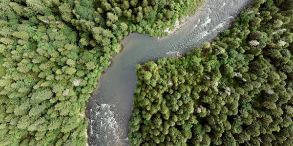
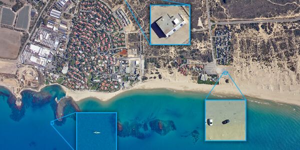
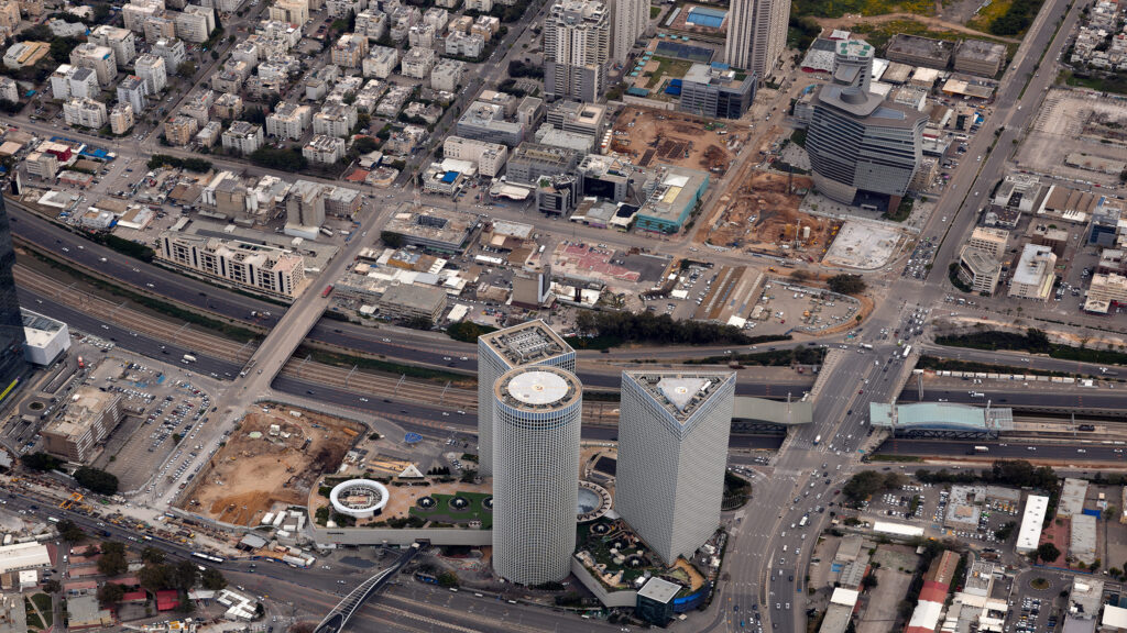
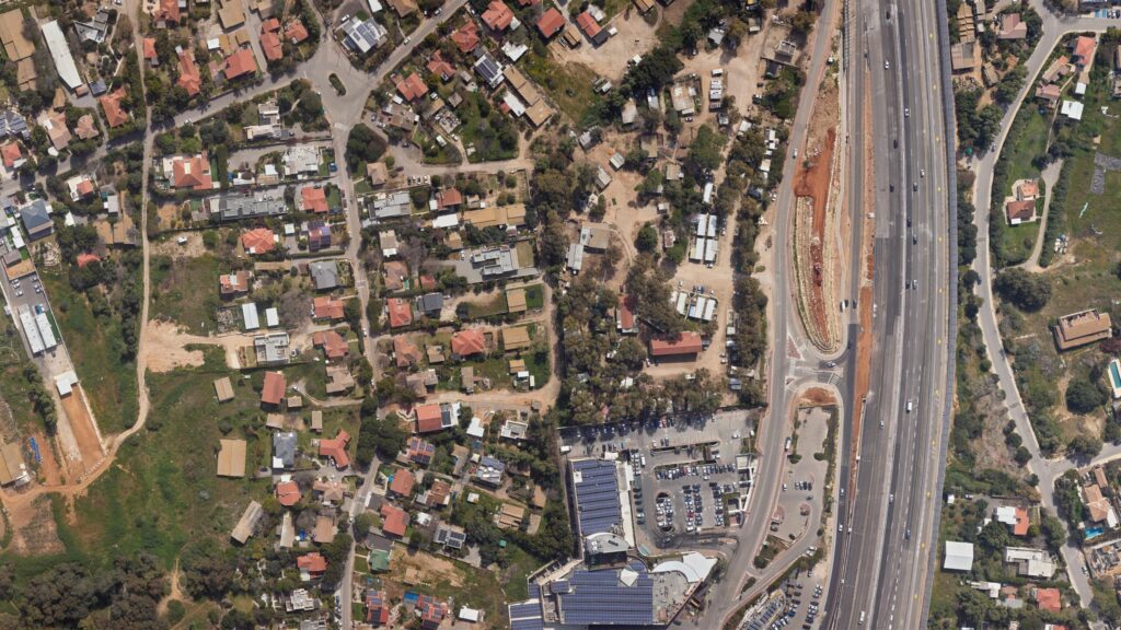
Geospatial imaging involves capturing high-resolution images tied to geographic locations on Earth. These images are essential for mapping, land surveying, infrastructure development, environmental monitoring, and disaster management.
Phase One solutions ensure accuracy, efficiency, and reliability in every stage of data collection and analysis.
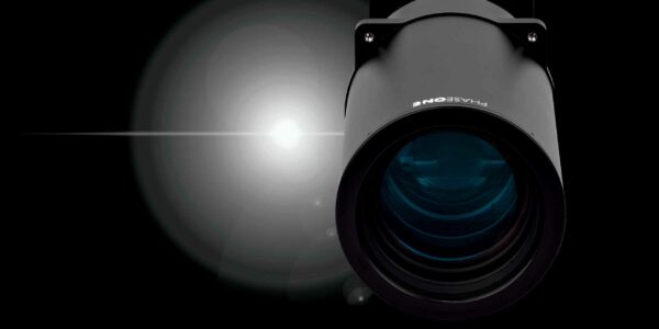
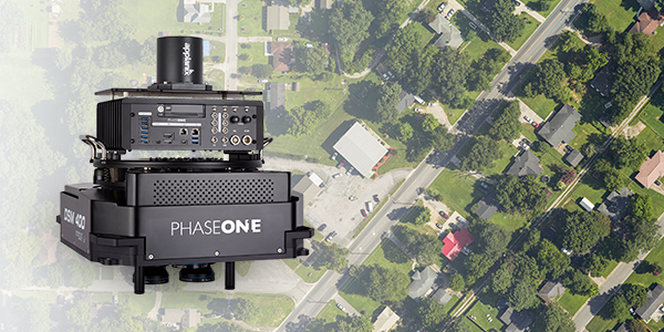
Medium and large format aerial photography cameras and systems for the highest quality image capture and geospatial mapping
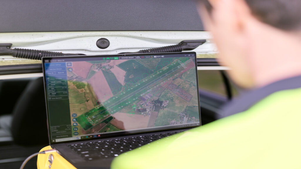
Phase One aerial photography cameras and systems are designed exclusively for geospatial and industrial imaging. Developed with leading experts in the field, the medium format and large format cameras offer the world’s best image quality, high resolution, dynamic range, color fidelity, and geometric accuracy. Our cameras and systems are used for a range of applications, such as mapping and surveying, ground and aerial inspection, agriculture, and machine vision.
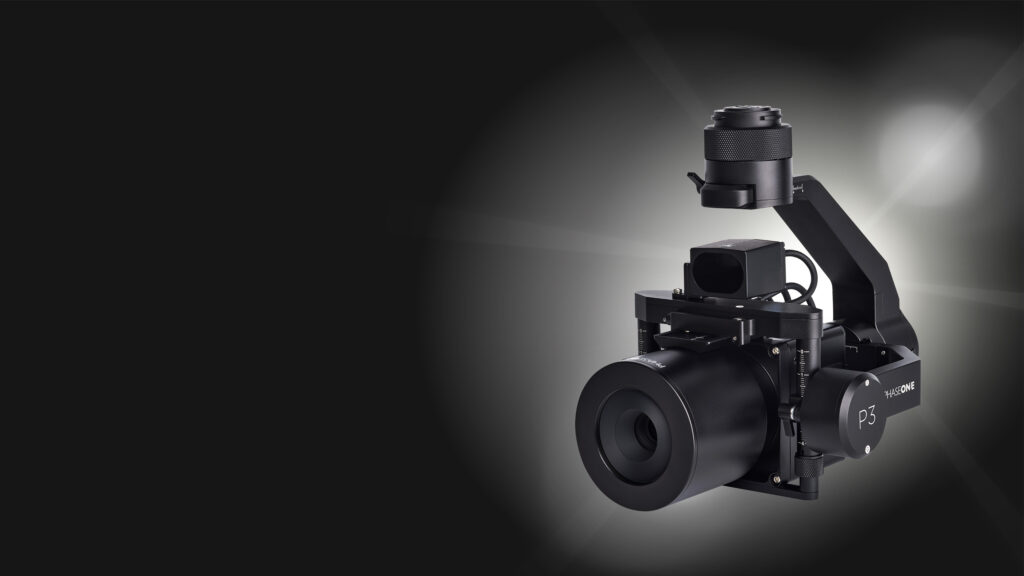
Unmatched inspection productivity and versatility
Where small details make a big difference. Phase One Drone Payloads are productive and versatile solutions that support our aerial inspection customers.
Our Payloads deliver productive results and prove their versatility in the inspection of bridges, dams, powerlines, wind turbines, and other high-value and critical assets.
What is geospatial imagery, and how do Phase One solutions support it?
Geospatial imagery refers to images that are associated with specific geographic locations on Earth. These images are often used in mapping, analysis, and decision-making processes.
Phase One’s advanced imaging solutions provide high-resolution, accurate, and reliable geospatial imagery, supporting industries such as agriculture, urban planning, and environmental monitoring.
What is geospatial imaging and mapping and what are the most Important applications?
Geospatial imaging and mapping involve capturing images and data from the Earth’s surface to create detailed maps and models. These tools are essential for applications like land surveying, infrastructure development, and disaster management. Phase One’s geospatial imaging solutions enhance accuracy and efficiency in these critical tasks.
What is a geospatial imagery analyst, and how do they use Phase One?
A geospatial imagery analyst interprets and analyzes geospatial data to provide insights for decision-making in various fields such as defense, agriculture, and environmental monitoring. They use Phase One’s high-resolution cameras and advanced imaging technology to collect precise data, ensuring accurate analysis and reporting.
The Future of Geospatial Solutions
The future of Phase One’s geospatial imagery solutions lies in continuous innovation — from enhanced automation to AI and machine learning integration. These advances will deliver even more precise, efficient, and scalable geospatial data for professionals worldwide.
To achieve the schedule and quality requirements of our clients we must collect data rapidly. The high resolution and sensitivity of the PAS Pana system provides the speed and performance to meet our clients ever increasing requirements. Phase One has built a team of industry experts, backed by capable support group, ensuring efficient issue resolution.
We use our Phase One cameras around the globe from Colombia to Canada, Nepal, Hong Kong, and all over the USA. Our clients are always appreciative of the high-quality imagery. We can always rely on the Phase One team, for great products and service!
The Phase One 280MP Aerial Solution gives us assurance in the data we're acquiring. There's now a certain confidence that when the system goes out into the field that we're getting good results every time, the first time.
Over the years, I've worked with Phase One to help provide my customers with a competitive advantage in precision survey mapping and inspection systems. I simply won't offer any other option when choosing a sensor.
The Phase One Aerial Solution provided us with a complete turnkey aerial imaging solution, compact in size, light in weight and flexible enough to use our current fleet of aircraft, to improve productivity, and bid on bigger projects.
Phase One 100MP cameras are an integral part of our IR 3D mapping solution as they provide us the baseline for a high definition 3D meshed model to be fused with IR data captured in one flight.
Our Latest Case Studies
Ready to take the next step?
Whether you have questions about our solutions or need more information, our sales team is ready to guide you along the process and answer any questions you may have.
Book a meeting with our team today.
Need support for an existing product or service?
Please visit our Support Page for faster assistance.