White Paper
Phase One P5 Achieving survey-grade accuracy with a fixed-wing UAV
Achieving high precision in geospatial data collection remains a significant challenge in engineering surveying. Traditional methods often struggle to meet the required 0.5 cm accuracy in X, Y, and Z axes, which is essential for producing reliable geospatial products such as orthomosaics, dense point clouds, and digital surface models. The limitations of these methods can result in increased costs, project delays, and compromised data quality.
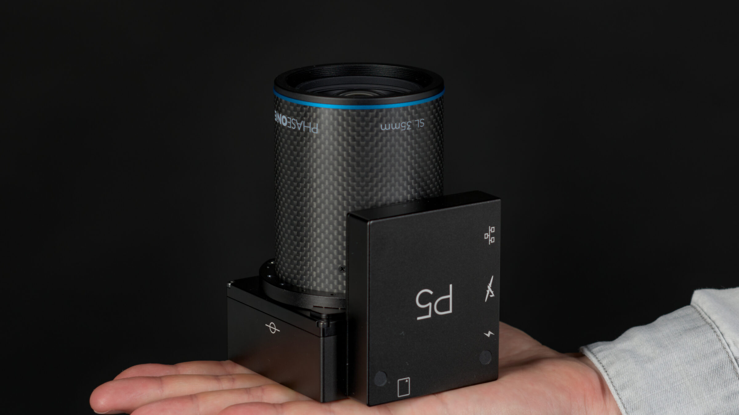
To address this challenge, the Phase One P5 camera system has been developed for integration with fixed-wing VTOL UAVs. This technical white paper examines the ability of the Phase One P5 to deliver 0.5 cm accuracy, using data collected at the UAS Denmark International Test Center. The paper aims to provide objective evidence of the P5’s precision and its effectiveness at generating high-quality geospatial products, demonstrating its potential to enhance the efficiency and accuracy of engineering surveying.
Dr. Karsten Jacobsen from the Institute of Photogrammetry and Geoinformation at Leibniz University Hannover performed independent analyses to validate the image quality of the Phase One P5. Detailed results of these analyses are presented in the white paper.
Access Phase One P5 Achieving survey-grade accuracy with a fixed-wing UAV White Paper
Sign up now for instant access to our P5 white paper.