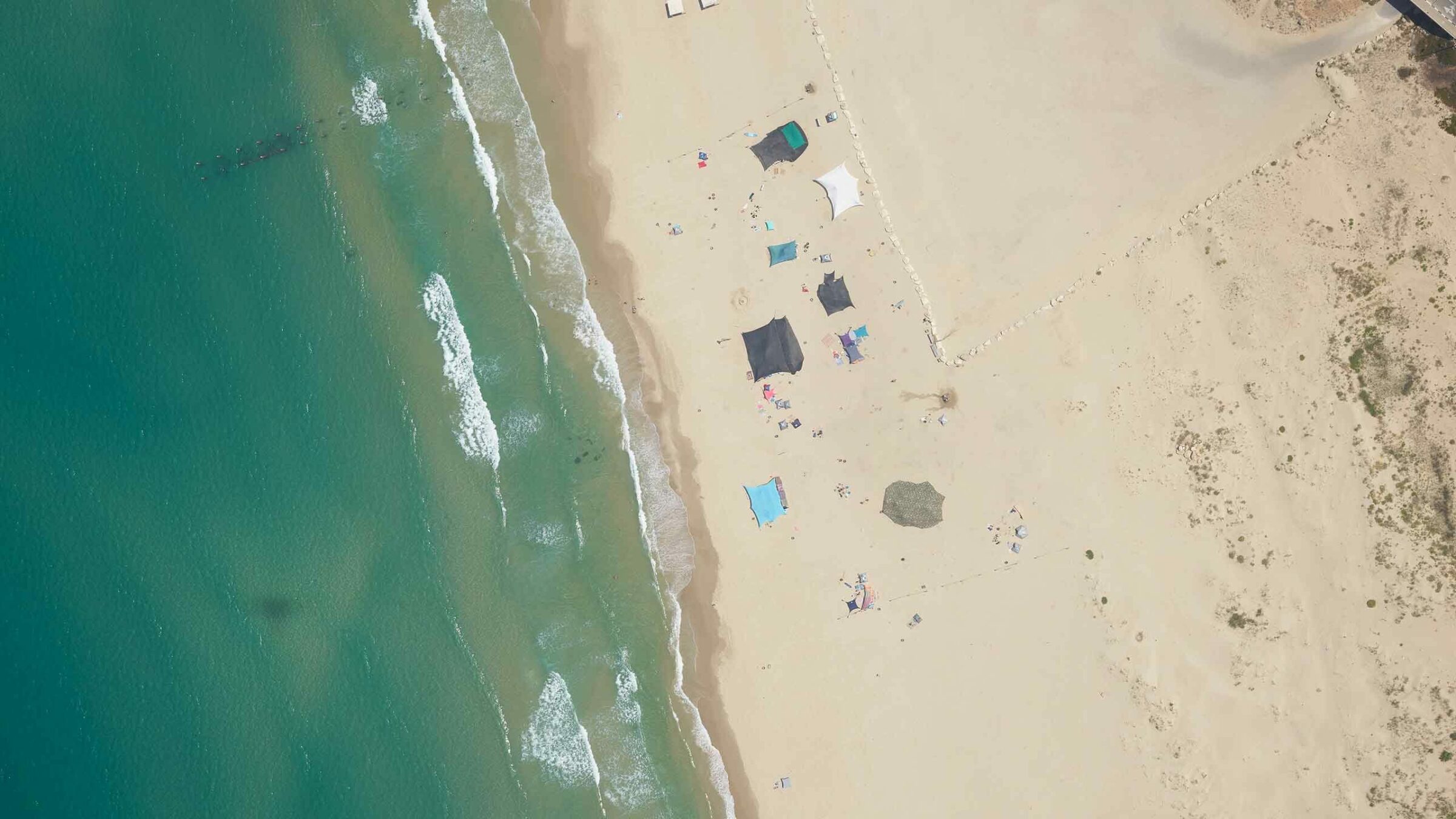
Drone Harmony and Phase One’s integration improves upon productivity, accessibility and flexibility by providing an automated mission planning tool. Alongside Phase One’s 100MP sensor, this solution lowers the likelihood of needing to repeat complex vertical inspection assets while simultaneously granting superior efficiency and data quality to that obtained through manual flight.
In this webinar you will learn about:
- How to create an end-to-end inspection workflow offering a seamless and scalable process to capture sub-millimeter inspection grade data for unbelievable 3D modeling
- How you can capture less images, but still get the same results
- How Drone Harmony has integrated the new Phase One Smart Focus bracketing and what benefits that comes with
- How to get the most out of the Phase One P3 camera
Contact a Phase One Expert
Want to learn even more? Contact our experts!
Geospatial Webinars
On-demand webinar: From PIXELS to PERCEPTION™ in the World of Esri

Geospatial Webinars
On-demand webinar: Decoding Data – Using high-resolution imaging and Spotscale AI for concrete inspection
Geospatial Webinars
Automated network inspection with LINIA on-demand
Geospatial Webinars
Scaling UAS Asset Inspections with the Phase One P3 on-demand
Geospatial Webinars
Scale Up Your Inspection with Phase One P3 on-demand
Geospatial Webinars
How to Increase Efficiency with Phase One Cameras and the High-Quality Trimble Inpho Photogrammetric Workflow

Geospatial Webinars
A new approach to aerial imaging
Geospatial Webinars
Mission quality review, image adjustment, correction and conversion with Phase One iX Process
