Phase One Launches 150MP Metric Camera and New Aerial Systems
iXM Platform with Advanced Imaging Sensors Delivers Superior Aerial Mapping
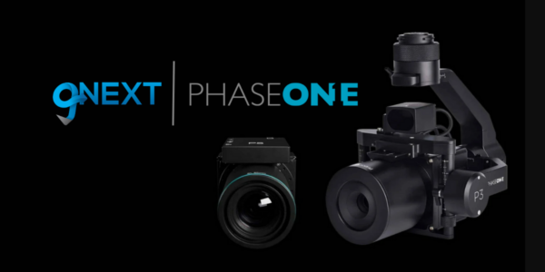
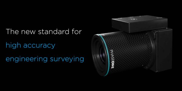
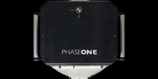
COPENHAGEN, August 28, 2018 – Phase One, a leading provider of aerial imaging solutions, today launched the iXM-RS metric camera series and new Aerial Systems. The flagship iXM-RS150F camera is full-frame, 150 megapixels, and available in RGB and Achromatic models. Its ultra-high resolution (14204 x10652) backside-illuminated CMOS sensor, fast capture speed (2 fps) and enhanced light sensitivity enable increased productivity in a wide range of aerial image acquisition projects. The iXM-RS camera is the imaging heart of Phase One’s Aerial System – a fully integrated solution for mapping and surveying.
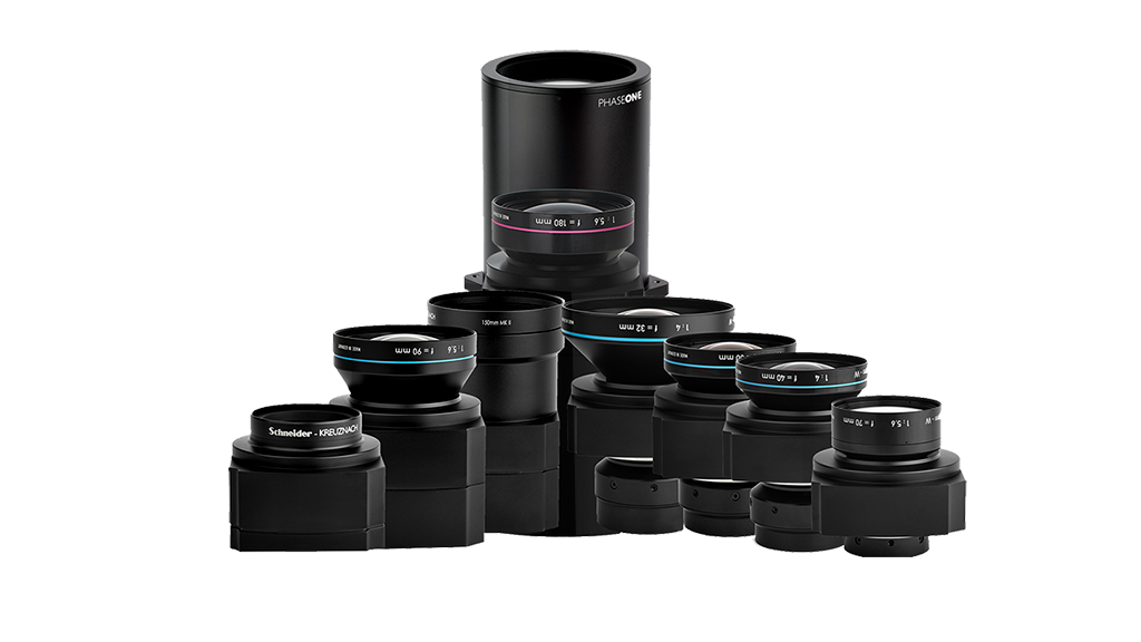
The two new 150- and 100-megapixel iXM-RS cameras feature Phase One’s proven RS lens series with seven field-replaceable focal length options, ranging from 32mm to 150mm. Designed and built for aerial photography by Rodenstock and Schneider Kreuznach, these lenses are factory calibrated for infinity focus and each is equipped with a central 1/2500 sec. leaf shutter.
“Our customers need flexible, efficient imaging solutions for projects that demand superior accuracy and efficiency,” said Dov Kalinski, General Manager of Phase One. “We are committed to helping our customers succeed, therefore we have designed the new iXM-RS camera series and Aerial Systems to exploit the powerful resolution and light sensitivity available from state-of-the-art sensor technology. We aim to deliver the most comprehensive performance for a wide range of photogrammetric applications.”
Flexible configurations boost productivity
Phase One also introduces a new addition to its fully integrated Aerial Systems: a 150MP configuration with either a single frame sensor for RGB imaging or a four-band Aerial System with dual frame sensors for RGB and NIR imaging. Each Aerial System includes the camera and additional components, such as: the iX Controller, Somag stabilizer, Applanix GPS/ IMU unit and the Phase One flight planning and management software iX Plan and iX Flight.
- iX Plan enables users to simply generate flight plans supporting:
- Digital terrain model (DTM)
- Base map
- Project shape
- Ground control points (GCPs)
- iX Flight uses iX Plan data to manage and guide the precise execution of aerial photography missions.
- Designed for pilots to easily maintain precise trajectory by following altitude and localizer instructions while the operator manages the mission, control the order of passes, tag images and start/stop image collection;
- Full control over the camera, stabilizer and GPS/IMU components;
- Simulation mode for training and system testing.
The new iXM-RS150F and iXM-RS100F single frame cameras introduced today can be used standalone for photogrammetric work, or as part of a multi-camera array for customized applications, including high-resolution oblique camera systems and Lidar systems. They can also be easily integrated with other popular flight management systems and GPS/IMU receivers.
Interfaces and Storage
The Phase One iXM camera platform supports multiple interfaces for camera controls and storage, including USB-C interface to enable faster yet flexible data transfer or longer cable length with 10G Ethernet (with either fiber or copper options). Also included are local storage with XQD cards, HDMI output with 2K video, and overlays to support high-end integration of UAVs.
About Phase One
Phase One A/S is a leading researcher, developer and manufacturer of medium format and large format digital cameras and imaging Systems.
Founded in 1993, Phase One is a pioneer of digital photography. Phase One has developed core imaging technologies and a range of digital cameras and imaging modules, providing the world’s highest image quality in terms of resolution, dynamic range, color fidelity and geometric accuracy. As such, Phase One has grown to become the leading provider of high-end imaging technology across many demanding business segments, such as aerial mapping, industrial inspection and cultural heritage digitization, as well as serving the world’s most demanding photographers.
Based in Copenhagen, Denmark, and with regional offices in New York, Denver, Cologne, Tel Aviv, Tokyo, Beijing, Shanghai and Hong Kong, Phase One nurtures long-term relationships with customers, technology partners and its global network of distributors, often playing the role of digital imaging partner to customers with special requirements. It is with this passion for service that Phase One continually exceeds expectations and drives the imaging industry forward.
Learn more at https://geospatial.phaseone.com
Download (En) Descargar (Es) Herunterladen (De)
Share this on social media:
