Most efficient all-in-one solution for wide-area mapping and 3D city modeling
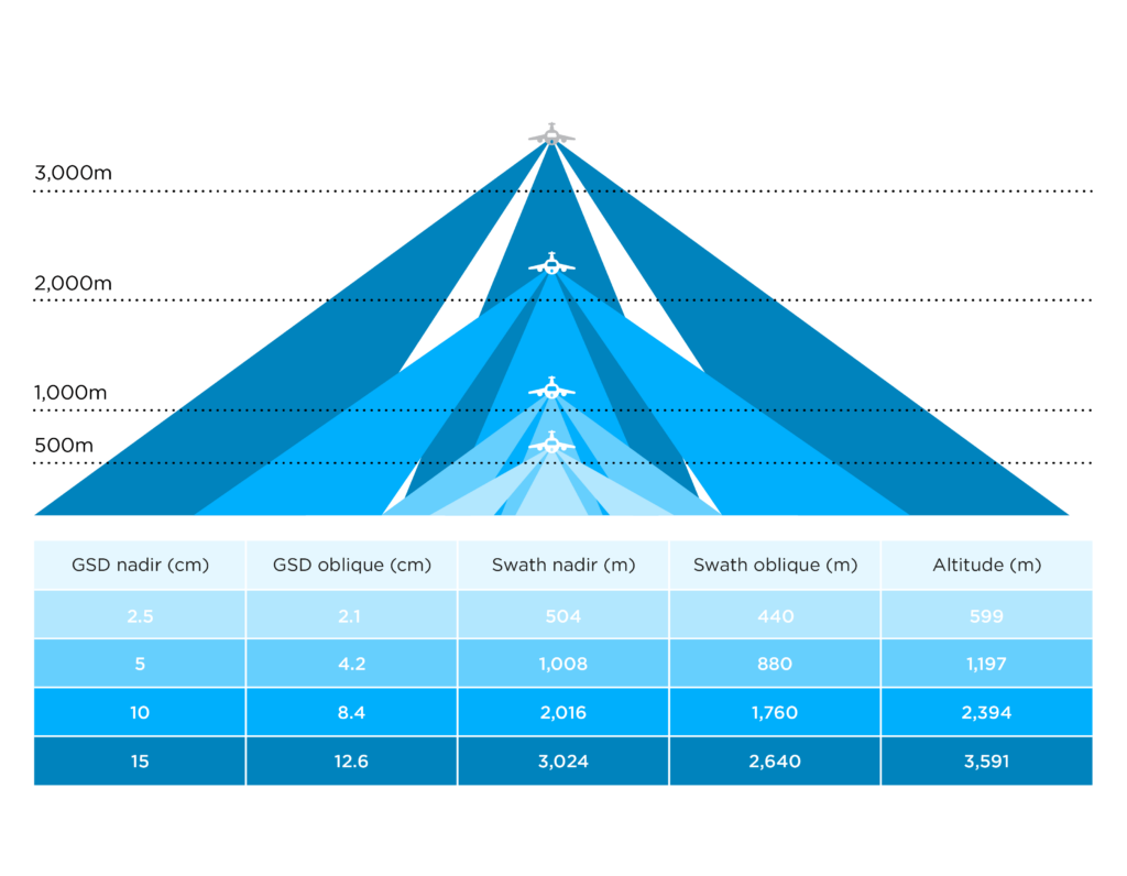
With the special engineering design, customers can achieve the highest ground resolution with the shortest flying hours and lowest data processing costs, making PAS 880 one of the most efficient all-in-one solutions for wide-area aerial mapping and 3D city modeling.
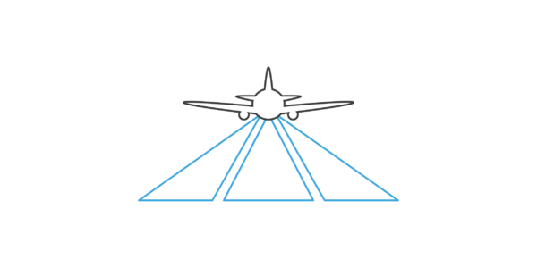
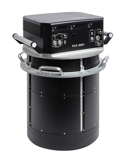
PAS 880 is a large-format nadir and oblique aerial imagery solution comprises four oblique RGB cameras of 150 MP and for nadir, a 280 MP RGB and a 150 MP NIR camera integrated into a single pod to simultaneously capture photogrammetric imagery.
Highest performance and productivity
PAS 880 provides 20,000 pixels across flight lines for the nadir and 14,000 pixels for each of the oblique cameras.
An unbeatable performance of 2 frames per second enables 80% forward overlap at high speed.
The combination of 90mm/150mm lenses for the nadir and oblique system ensures balanced ground resolution products for all cameras. The central leaf shutter provides speed up to 1/2500 sec. eliminating motion blur. The 3,76μm BSI pixels ensure sharp images under any light condition.
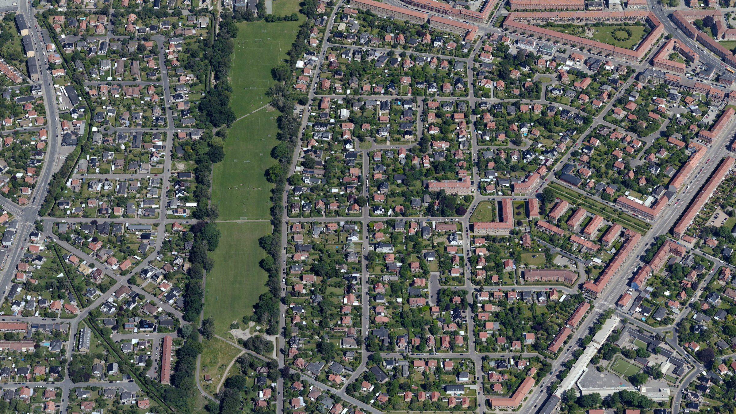
PAS 880 delivers the highest quality and accuracy for oblique aerial imagery.
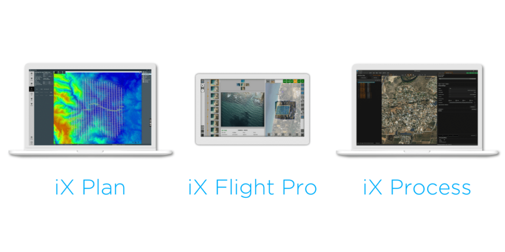
iX Suite
Seamless workflow,
quality assured from the earliest stage
Experience streamlined mission planning with iX Plan—initiate planning by selecting your Phase One system, automatically generating flight lines and controlling project costs. Elevate your mapping project with iX Flight Pro, ensuring precise mission execution and increased efficiency with instant images review and replan while flying. Streamline your workflow with iX Process for immediate image review and adjustments without need of pre-processing.
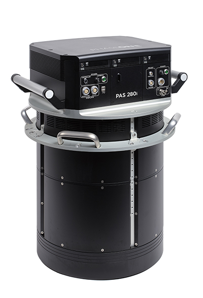
Possibility to upgrade from PAS 280i
PAS 880 is based on the PAS 280i solution, enabling a seamless upgrade to a full oblique system, ensuring a future proof and effective investment and flexibility in service offering.
Technical specifications
Nadir / Oblique
Nadir
Oblique
Nadir
Oblique
Cameras
280MP RGB camera with a 90 mm lens
4x 150MP RGB cameras with 150 mm lenses
Cameras
280MP RGB camera with a 90 mm lens
4x 150MP RGB cameras with 150 mm lenses
150MP NIR camera with a 50 mm lens
150MP NIR camera with a 50 mm lens
Pixel swath
20,150
14,204
Pixel swath
20,150
14,204
Frame size
20,150 x 14,118 pixels (RGB)
5 x 14204 x 10652 pixels (RGB)
Frame size
20,150 x 14,118 pixels (RGB)
5 x 14204 x 10652 pixels (RGB)
14,204 x 10,652 pixels (NIR)
14,204 x 10,652 pixels (NIR)
Field of view
32.9° along track, 45.7° across track (RGB)
20.2° along track, 15.2° across track (RGB)
Field of view
32.9° along track, 45.7° across track (RGB)
20.2° along track, 15.2° across track (RGB)
43.7° along track, 56.2° across track (NIR)
43.7° along track, 56.2° across track (NIR)
Coverage
5 cm GSD: 0.72 km2 footprint area
Oblique Forward/Backward
Coverage
5 cm GSD: 0.72 km2 footprint area
Oblique Forward/Backward
10 cm GSD: 1.51 km2 footprint area
5 cm GSD: 0.40 km2 footprint area
10 cm GSD: 1.51 km2 footprint area
5 cm GSD: 0.40 km2 footprint area
20 cm GSD: 11.45 km2 footprint area
10 cm GSD: 1.61 km2 footprint area
20 cm GSD: 11.45 km2 footprint area
10 cm GSD: 1.61 km2 footprint area
20 cm GSD: 6.43 km2 footprint area
20 cm GSD: 6.43 km2 footprint area
Oblique Left/Right
Oblique Left/Right
5 cm GSD: 0.35 km2 footprint area
5 cm GSD: 0.35 km2 footprint area
10 cm GSD: 1.42 km2 footprint area
10 cm GSD: 1.42 km2 footprint area
20 cm GSD: 5.67 km2 footprint area
20 cm GSD: 5.67 km2 footprint area
Additional specifications
Frames per second
2
Frames per second
2
Dynamic range (dB)
83
Dynamic range (dB)
83
Channels
RGB, NIR optional
Channels
RGB, NIR optional
Power consumption
400W
Power consumption
400W
470W max peak power
470W max peak power
System weight (kg/Lb)
47 / 104
System weight (kg/Lb)
47 / 104
Dimensions (mm/in)
408 x 716 x 691 / 16 x 28 x 27.2
Dimensions (mm/in)
408 x 716 x 691 / 16 x 28 x 27.2
Data storage capacity (Controller)
24 TB
Data storage capacity (Controller)
24 TB
128 GB RAM
128 GB RAM
GNSS/IMU
Integrated Applanix GNSS-Inertial
GNSS/IMU
Integrated Applanix GNSS-Inertial
AP510 (IMU – 95)
AP510 (IMU – 95)
AP610 (IMU – 57)
AP610 (IMU – 57)
Stabilized mount
Somag gyro-stabilized mount GSM 4000
Stabilized mount
Somag gyro-stabilized mount GSM 4000
Mount weight (kg/Lb)
29 / 63.9
Mount weight (kg/Lb)
29 / 63.9
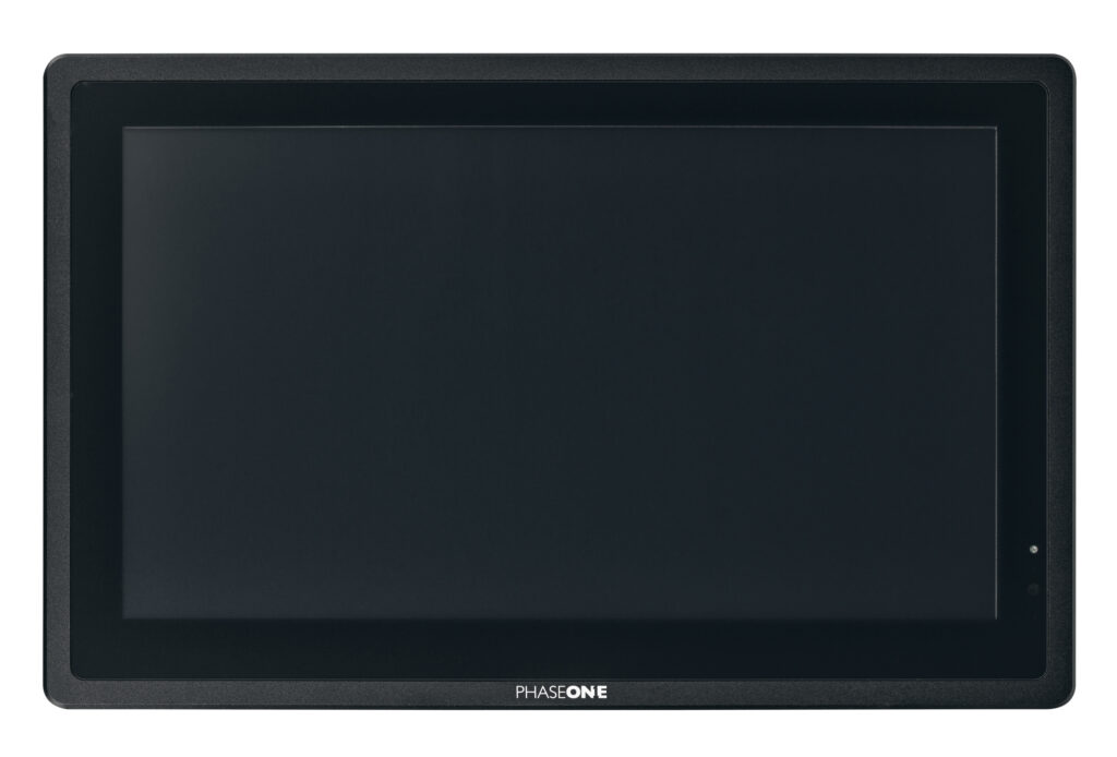
Monitors for PAS Solution
Phase One provides a complete solution for the PAS product line offering two operating monitors, 15’’ and 21’’, and one 7” pilot monitor fitting all PAS systems. The monitors are ruggedized displays tailored for airborne applications. All monitors are Phase One branded and tested on our PAS offerings.
Ready to take the next step?
Whether you have questions about our solutions or need more information, our sales team is ready to guide you along the process and answer any questions you may have.
Book a meeting with our team today.
Need support for an existing product or service?
Please visit our Support Page for faster assistance.
