P5 Datasets

P5 UAV Payload Download Datasets

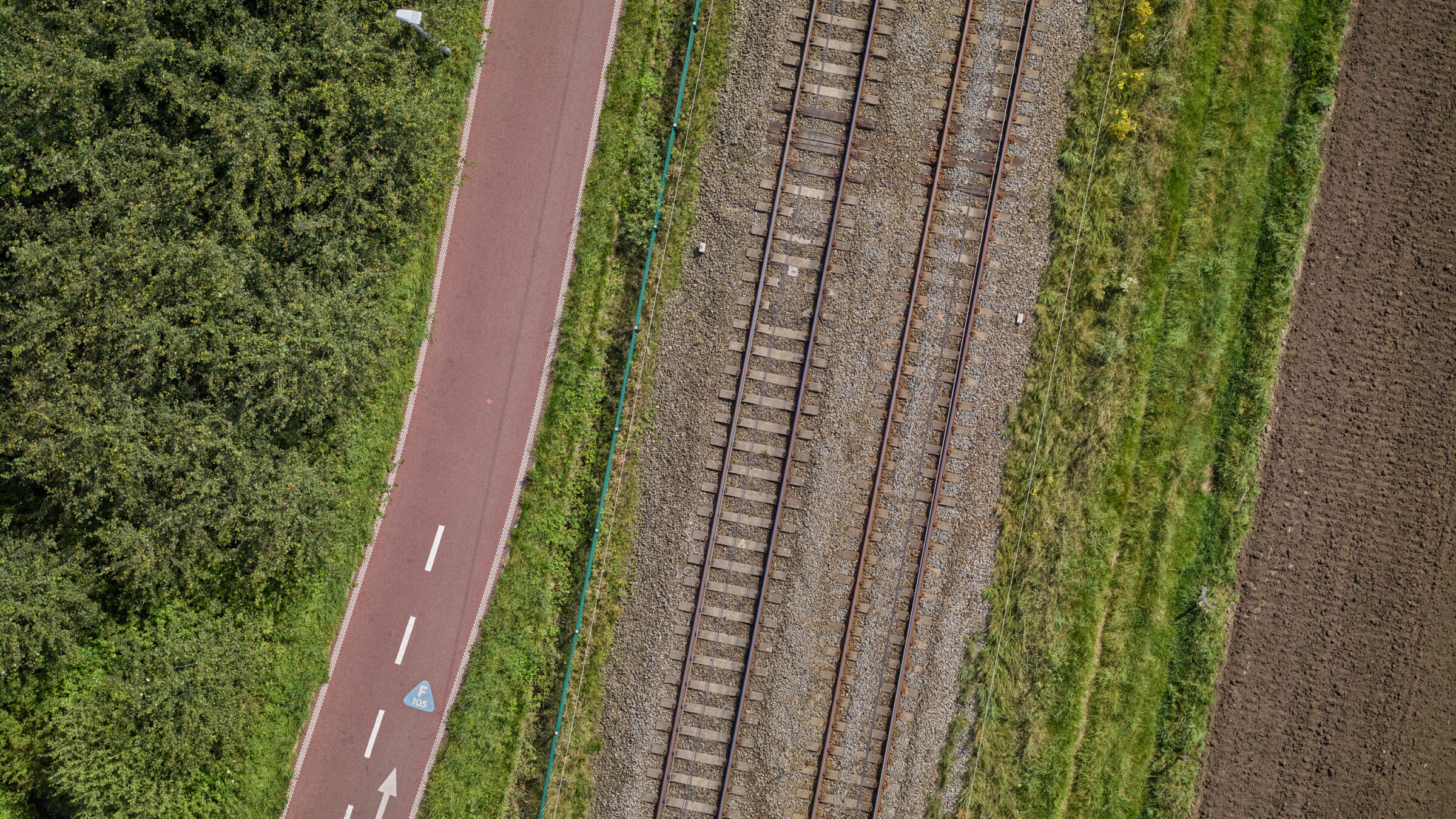
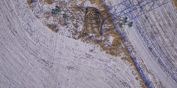
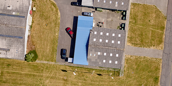
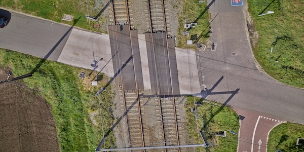
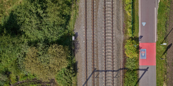
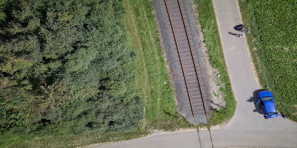
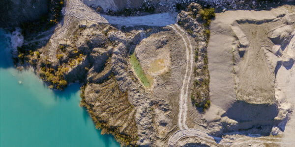
Our P5 datasets offer high-resolution geospatial data that is perfect for detailed and accurate analysis.

text

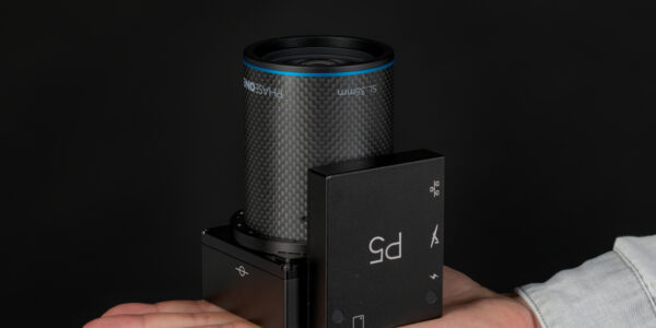
P5 UAV Payload Datasets

Experience cutting-edge geospatial data with P5, the ultimate UAV payload for precise aerial surveying. Lightweight (under 700 g), compact, and power-efficient, P5 is ideal for portable UAVs.

P5 offers versatile mounting options for land or corridor surveys, a fast 1 G interface, and MAVLink/Auterion protocols for easy integration. Its 128 MP image sensor and global shutter ensure blur-free, high-resolution images with 0.5 cm accuracy. Choose from 35 mm and 80 mm lenses for optimal coverage.

Tested in 2023 with the Trinity™Pro at the UAS Denmark Test Center, P5 guarantees unmatched data accuracy and performance.

text

View Orthophoto below

iframe_block
page_teaser

Powerline Inspection

Powerline Inspection Download

Download dataset
page_teaser

US Town

US Town Download

Download dataset

US Town Viewer

View

Blog

blog
page_teaser

Odense Airport Dataset

Geospatial solutions with P5 UAV data

Odense Airport Viewer

Altitude 60m
Lens 80mm
GSD 0.259cm

View
Phase One P5 UAV payload datasets

Odense Airport Download

Download dataset

White Paper

Phase One P5 Achieving survey-grade accuracy with a fixed-wing UAV

White Paper
page_teaser

Belgium Railway Dataset

Belgium Railway Viewer

Altitude 60m
Lens 80mm
GSD 0.259cm

View

Belgium Railway Download

Download Dataset
page_teaser

Rail P5

Trimble P5 SL80 60m

Altitude 60m
GSD 2,59mm

Download dataset
page_teaser

Faxe Mining

Faxe Mining Viewer

Altitude 60m
Lens 80mm
GSD 0.259cm

View

Faxe Mining Download

Download dataset