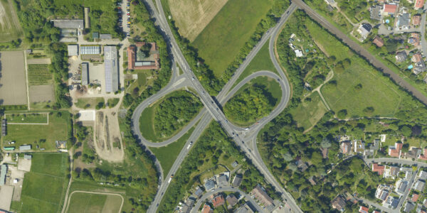
View the webinar: How DAS Geospatial cut flight lines, reduced installation time, and increased mission efficiency: practical lessons for aerial mapping teams
In this webinar, AISPECO, Phase One, and DAS Geospatial walk through the exact workflow changes that made this possible – from stabilized capture to sensor synchronization to real corridor results in the field.
You’ll learn:
- How DAS cut flight time by reducing side overlap dependencies.
- How a stabilized capture setup improved geometry consistency.
- How they combined LiDAR and photogrammetry without extending mission time.
- What actually changed in planning, setup, and data handling.
- Which parts of their approach any operator can apply today.

Geospatial Webinars
On-demand webinar: Simplify your mapping workflow with iX Process for components — live demo & beta user insights

Geospatial Webinars
On-demand webinar: Achieve reliable 1 cm corridor data with the CM-1 from IGI & Phase One. Practical insights from Kavel 10 and Esri

Geospatial Webinars
On-demand webinar: Bridging the gap between commercial drones and manned aviation with Phase One P5 and TerX
Geospatial Webinars
On-demand webinar: From Pixels to Perception™ with Skyline’s PhotoMesh Automation and Globe Dissemination

Geospatial Webinars
On-demand webinar: From PIXELS to PERCEPTION™ in the World of Esri

Geospatial Webinars
On-demand webinar: Decoding Data – Using high-resolution imaging and Spotscale AI for concrete inspection

Geospatial Webinars
Automated network inspection with LINIA on-demand
Geospatial Webinars
Scaling UAS Asset Inspections with the Phase One P3 on-demand

Geospatial Webinars
Scale Up Your Inspection with Phase One P3 on-demand

Geospatial Webinars
How to best automate and scale high-quality inspection workflows with Drone Harmony
Geospatial Webinars
How to Increase Efficiency with Phase One Cameras and the High-Quality Trimble Inpho Photogrammetric Workflow

Geospatial Webinars
A new approach to aerial imaging
Geospatial Webinars
Mission quality review, image adjustment, correction and conversion with Phase One iX Process