• Sign in
  • Contact us

Home Event

Choose your language

  • English

Tag: Event

European aerial mapping association EAASI and Phase One collaboration
Geospatial Exhibitions

EAASI Summit 2026

Geospatial Camera User Manuals
Geospatial Exhibitions

Open Day Photogrammetry (ODP)

Geospatial Exhibitions

INTERGEO 2026

Geospatial Exhibitions

MAPPS 2026 Summer Conference

aerial mapping and surveying
Geospatial Exhibitions

XXVth ISPRS Congress

Geospatial Webinars

Webinar: Simplify your mapping workflow with iX Process for components — live demo & beta user insights​

Photography Artist Talk

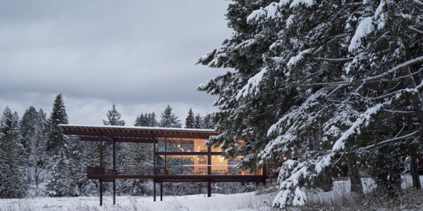
Making Space with Architectural Photographer Andrew Latreille

Photography Webinars

Webinar: Sandro Gamba

Geospatial Exhibitions

Geo Week 2026

Motion-free 1 cm corridor mapping with efficient data handling
Geospatial Webinars

Webinar: Achieve reliable 1 cm corridor data with the CM-1 from IGI & Phase One. Practical insights from Kavel 10 and Esri

  • Applications
  • Geospatial Imagery
  • Space
  • Heritage
  • Bespoke Photography
  • Imaging Quality & Performance
  • From Pixels to Perception™
  • Intelligent Image Quality (IIQ)
  • Blur Control Technology
  • Bayer Pattern Technology
  • Solutions
  • Aerial Camera Systems
  • UAV Cameras
  • Geospatial Components
  • Space solutions
  • Heritage Solutions
  • Heritage Components
  • Photographic Cameras
  • Knowledge Hub
  • Case Studies
  • Upcoming Events, Webinars and Workshops
  • Inspiration
  • Press Releases
  • On-demand webinars and videos
  • Developer
  • Phase One Blogs
  • About
  • What Do We Stand For?
  • Life at Phase One
  • Sustainability
  • Find a Local Partner
  • Find a Rental Studio
  • Contact us
Newsletter sign up
  • Legal
  • Legal
  • Privacy Policy
  • Cookie Policy
  • Terms and Conditions
  • Whistleblower Policy
© Phase One 2026
  • Legal
  • Legal
  • Privacy Policy
  • Cookie Policy
  • Terms and Conditions
  • Whistleblower Policy