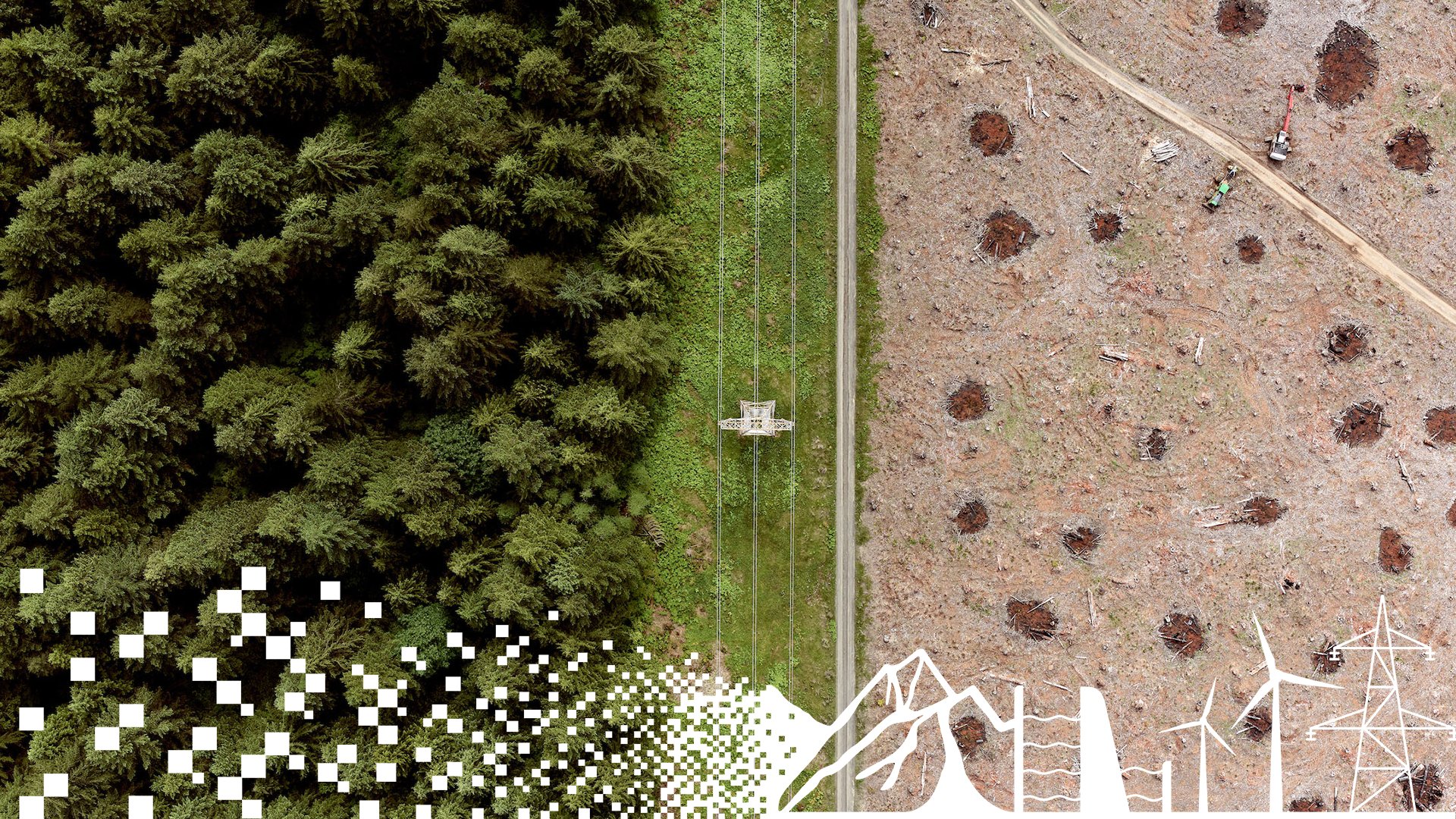
From Pixels to Perception™
From capture to insight — a complete, connected end-to-end workflow.
The value of a connected workflow
A smarter path from image capture to insight
Phase One enables a complete geospatial workflow through an open ecosystem of leading software partners—combining flexibility with efficiency to deliver faster, more reliable insights.
We help organizations move efficiently from raw imagery to actionable insights, maximizing data quality, productivity, and confidence in every decision.
The value of imagery is not created by the camera alone—it is created through the workflow that transforms data into results. From Pixels to Perception™ is Phase One’s approach to delivering a high-quality, efficient, and flexible end-to-end workflow. Built on industry-leading image quality and a strong partner ecosystem, it gives customers the freedom to choose best-of-breed solutions—without compromising performance, productivity, or data integrity.
Whether mapping cities, inspecting infrastructure, monitoring forests, or building digital twins, Phase One helps you move faster from capture to insight.
The end-to-end workflow
From planning to acquisition, processing, and downstream geospatial analysis, Phase One connects each step of the imaging workflow. From planning and acquisition to processing and downstream geospatial analysis, Phase One provides the cameras, applications, and technologies needed across the imaging workflow.
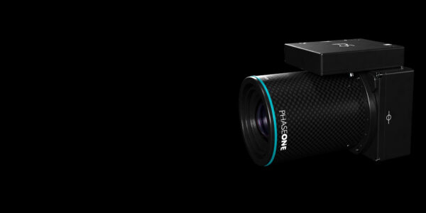
Phase One cameras, iX Trigger, iX View, iX Process, SDK, and trusted third-party software partners support the different stages of the workflow, helping teams move from high-quality image acquisition to production-ready data and actionable insights.
By keeping image data, metadata, calibration information, and correction workflows connected, teams can reduce manual handling, maintain data integrity, and work more efficiently across the full project lifecycle.
Successful projects start with effective planning.
Supported planning solutions include:
- IGI Plan
- iX Plan
These tools help mission teams optimize coverage, flight paths, and project execution before data acquisition begins.
iX Trigger
Capture high-quality imagery with confidence.
- Automated capture
- Multi-camera capture control
- Instant image review
- Automatic metadata management
- Automatic download and organization of RAW data
The result is a reliable data foundation for every mission.
iX View
Inspect and optimize imagery before processing.
- Drag-and-drop image import
- Image stack viewer
- Easy image metadata review
- Pre-defined recipe adjustment
- Radiometry adjustments
- Automatic organization of output images
- Single image batch processing
This stage helps ensure the data entering production workflows is ready for use.
iX Process
Prepare imagery for downstream photogrammetry and analytics.
- Project-level quality control
- Geometric correction
- Radiometric enhancement
- Color balancing
- Image stitching
- Batch processing
iX Process transforms acquired imagery into production-ready datasets.
The existing iX Process experience focuses on project review, image correction, and production preparation.
Open ecosystem integration
Move seamlessly into industry-leading software platforms including:
- Bentley
- Skyline
- SimActive
- Trimble
- Catalyst
- Blue Marble Global Mapper
- Pix4D
- gNext
Seamless raw data handoff to partner software supports open downstream workflows with Trimble, Bentley, Skyline, SimActive, CATALYST, Blue Marble Global Mapper, Pix4D, gNext Labs, and more.
Proud to see IIQ integrated by








Why Pixels to Perception™
IIQ stores image data, calibration information, metadata, orientation, georeferencing, and other mission-critical information in a single file. This improves traceability and reduces workflow complexity.
Direct integration with leading software partners reduces manual data handling and helps preserve original image quality throughout the workflow.
Unlike closed workflows, Pixels to Perception™ gives organizations the freedom to choose best-in-class software solutions without sacrificing efficiency or image quality.
A connected workflow simplifies the transition from acquisition to analysis, helping teams deliver results faster and with greater confidence.
Built on an open ecosystem
Phase One works closely with software partners to ensure deep integration with IIQ and ImageSDK technologies. These integrations help reduce workflow bottlenecks, improve processing efficiency, and maintain the quality of the original imagery throughout the workflow.

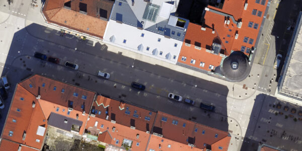
From trusted imagery to trusted decisions
Whether mapping cities, monitoring forests, inspecting infrastructure, building digital twins, or supporting national mapping programs, Phase One helps organizations move faster from acquisition to insight.
Ready to build a more efficient workflow?
Speak with a Phase One expert to learn how Pixels to Perception™ can help you move from trusted imagery to trusted decisions.