High-Resolution Geospatial Imaging Solutions
Unrivaled image quality for maximum reliability and greater productivity in your geospatial mission. Through the excellence of our first-class images, you can collect accurate data from the start minimizing downtime.
Pioneering Digital Imaging Excellence
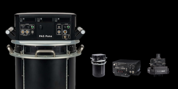
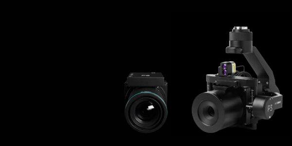
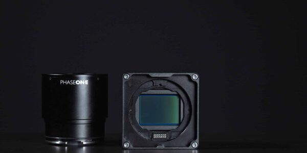
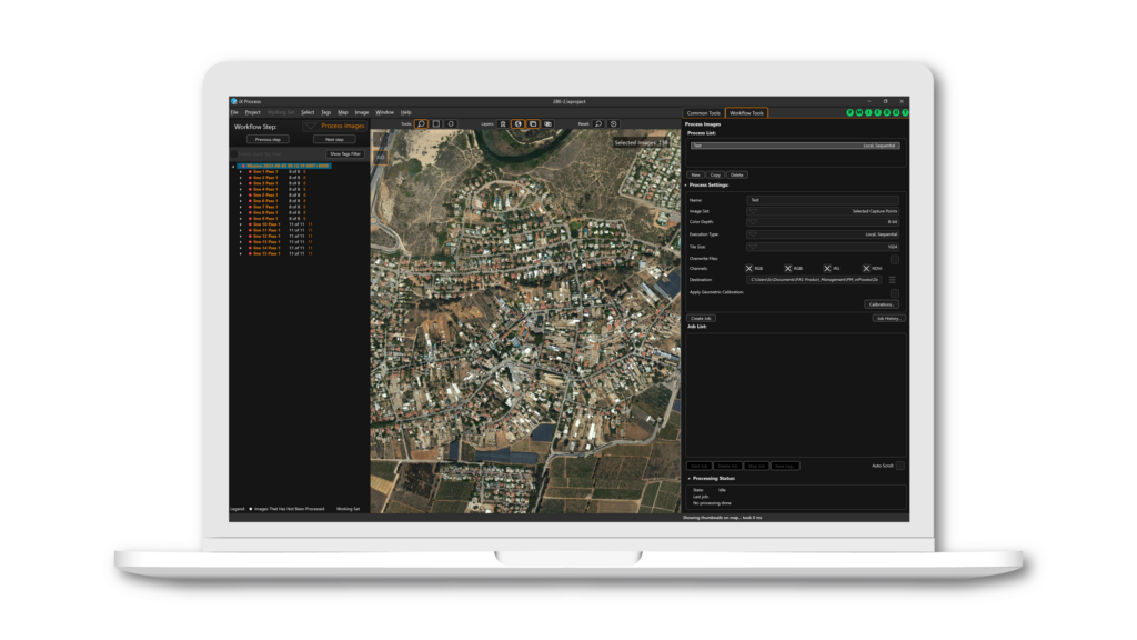
High-quality geospatial imaging solutions by Phase One. Our advanced technology ensures exceptional image quality for professional applications. Spanning from industrial inspections, aerial mapping, security, and space. Our innovative geospatial solutions and cutting-edge camera technology ensure exceptional imaging quality. We collaborate with best-in-class technology partners and distributors to ensure our highest quality standards.
What are Geospatial Solutions?
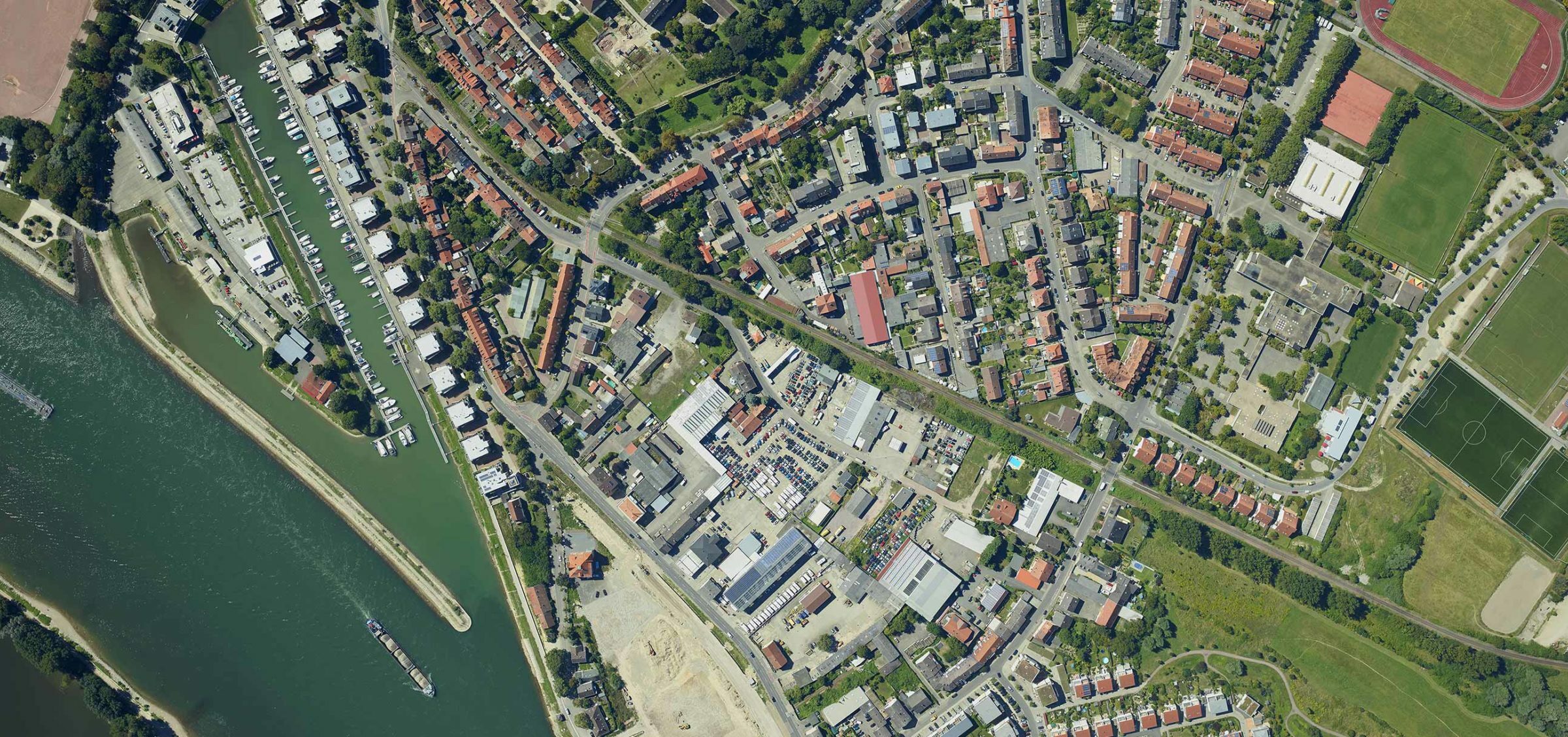
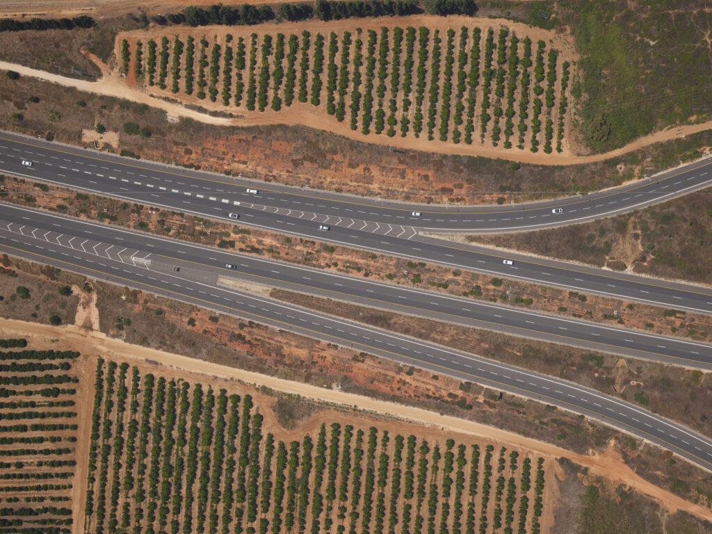
Geospatial solutions encompass a range of technologies and services used to capture, analyze, and visualize geographic data. Phase One’s geospatial solutions include high-resolution cameras and imaging software, enabling accurate mapping and analysis for industries like agriculture, urban planning, and environmental monitoring.
What is Geospatial Technology?
Geospatial technology refers to the tools and techniques used to collect, process, and analyze geographic information. This includes GPS, remote sensing, and GIS (Geographic Information Systems). Phase One’s geospatial technology provides high-quality imagery that enhances data accuracy and decision-making processes.
Future of Phase One’s Geospatial Solutions
The future of Phase One’s geospatial imagery solutions lies in continuous innovation and integration with emerging technologies like AI and machine learning. This will lead to even more precise and automated data collection, analysis, and application in various industries.
Our Latest Case Studies
Ready to take the next step?
Whether you have questions about our solutions or need more information, our sales team is ready to guide you along the process and answer any questions you may have.
Book a meeting with our team today.
Need support for an existing product or service?
Please visit our Support Page for faster assistance.