AI-Powered Geospatial Imaging Solutions

From Pixels to Perception™

Seamlessly combining geospatial AI, image data analysis, and processing pipelines to turn pixels into intelligence. Transforming intelligent image quality into meaningful insights.

From Pixels to Perception™: geospatial AI and image data analysis built on Phase One metric cameras

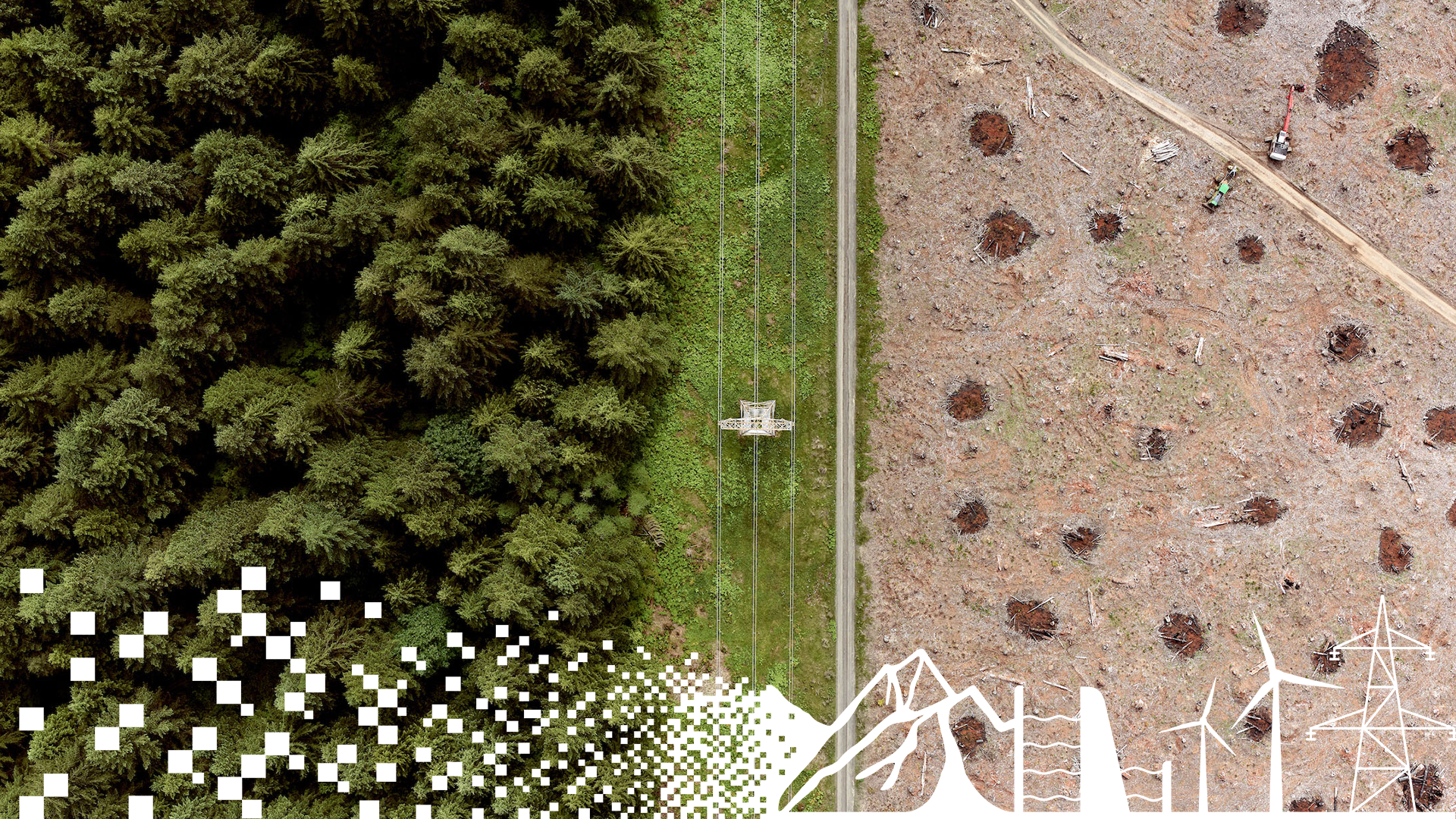
Harnessing AI in geospatial analysis, advanced image processing pipelines, and AI remote sensing data, we deliver seamless workflows and trusted results for industries that rely on high-precision imaging.

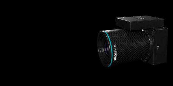
Trusted results, build on high-accuracy data, processed seamlessly in our customers and partners workflows, based on high-quality images from Phase One’s metric cameras. 

As our strategic driver to ensure end-to-end digital imaging solutions for our customers, Pixels to Perception™ bridges the solutions from Intelligent Image Quality (IIQ) to meaningful insights. By leveraging state-of-the-art imaging technology, advanced data processing, and AI-driven analytics, together with our valued partners and customers, we transform pixels into valuable intelligence, empowering industries that rely on high-precision geospatial, aerial, and remote sensing data. 

How Pixels to Perception™ delivers value

Harness the power of Phase One’s advanced sensor technology to capture the highest quality imagery from UAV, aerial, and satellite platforms, ensuring every detail is maintained at the highest quality and precision for reliable image data analysis and geospatial AI applications.

Simplify and accelerate processing workflows with seamless integration of Phase One’s Image Intelligent Quality (IIQ) RAW image format into leading photogrammetry software, delivering efficiency across the entire image processing pipeline.

IIQ

Unlock AI-powered clarity rooted in the precision and accuracy of Phase One images, transforming AI in geospatial analysis and AI remote sensing data into actionable insights for critical applications in mapping, agriculture, infrastructure monitoring, disaster response, and beyond. 

  • Precision in Capture

    Harness the power of Phase One’s advanced sensor technology to capture the highest quality imagery from UAV, aerial, and satellite platforms, ensuring every detail is maintained at the highest quality and precision for reliable image data analysis and geospatial AI applications.

  • Productivity in Process

    Simplify and accelerate processing workflows with seamless integration of Phase One’s Image Intelligent Quality (IIQ) RAW image format into leading photogrammetry software, delivering efficiency across the entire image processing pipeline.

    IIQ
  • Performance in Decision

    Unlock AI-powered clarity rooted in the precision and accuracy of Phase One images, transforming AI in geospatial analysis and AI remote sensing data into actionable insights for critical applications in mapping, agriculture, infrastructure monitoring, disaster response, and beyond. 

Real-world applications in action

High-resolution aerial imaging for forest tree disease detection & transforming high-quality imagery into geospatial AI insights

Precision forestry from the sky

AlterGeo used a PAS 280 camera on an ultralight to map fir mistletoe in Polish forests, covering 4,000 hectares per hour and supporting tree health, climate protection, and sustainable forestry.

Explore high-res photogrammetry
High-detail façade captured through Reality Mapping imagery

Revolutionizing Slovenian urban planning

Explore how the PAS 880i generates Digital Surface Models for accurate 3D city modeling, urban planning, and infrastructure inspections.

Explore the Slovenian 3D mapping

P5 engineering survey payload for drones and UAVs

Aerial engineering surveying capabilities with the PhaseOne P5 Payload, offering unmatched precision and efficiency in drone aerial mapping.

Discover the P5 payload

Get in touch

Have questions or want to learn more about our imaging solutions? Contact us to speak with a Phase One expert here.