How to Increase Efficiency
with Phase One Cameras
and the High-Quality
Trimble Inpho Photogrammetric Workflow
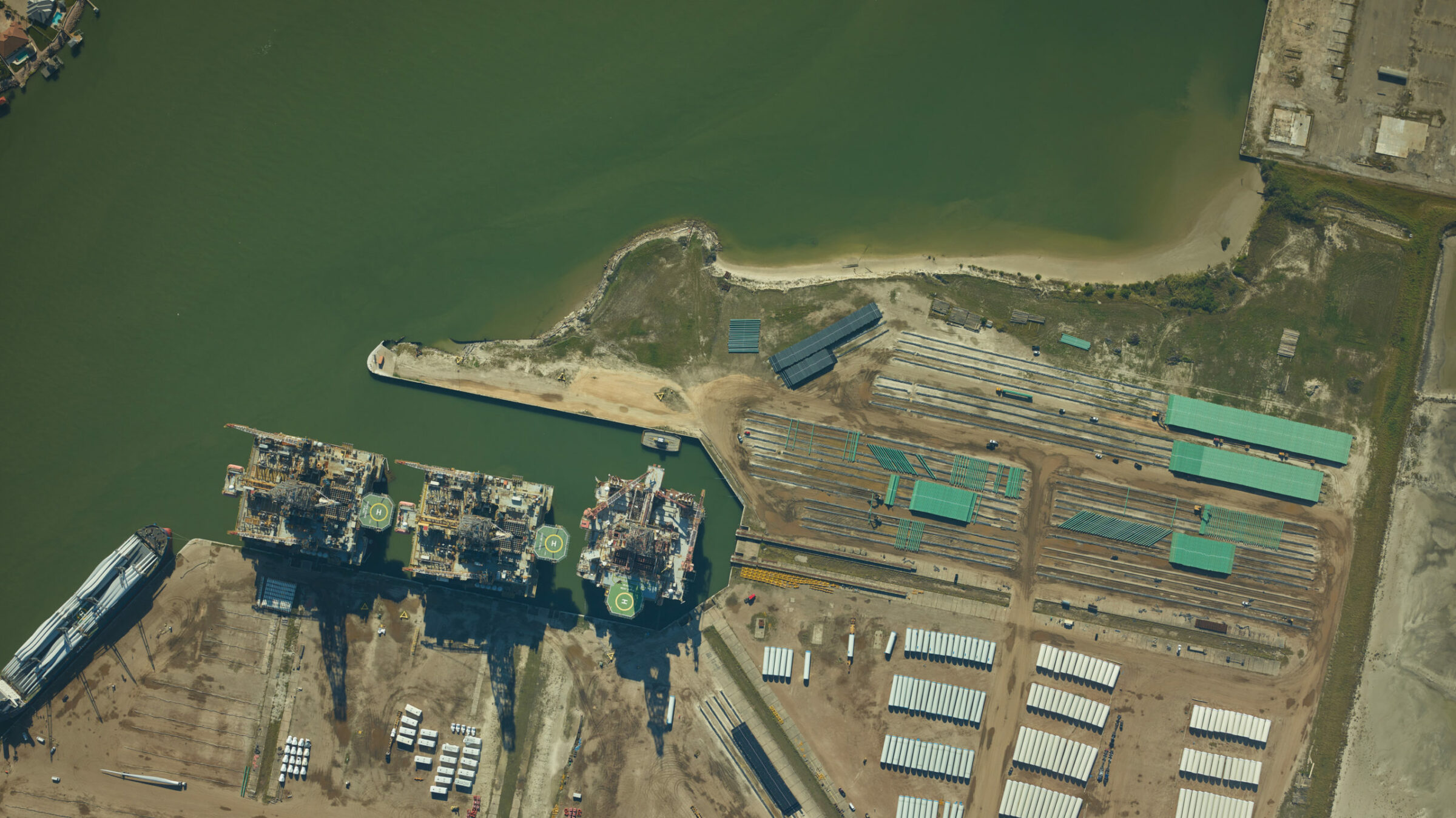
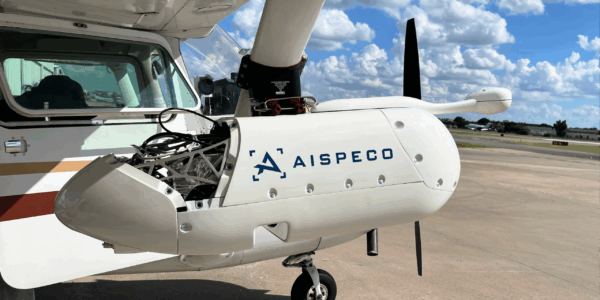
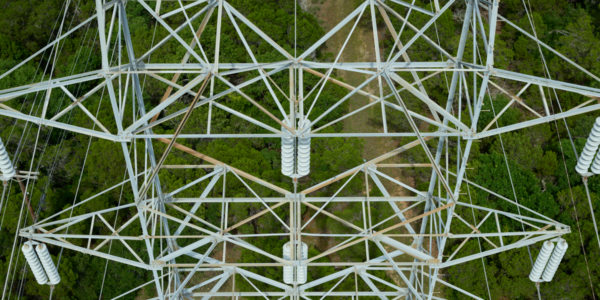
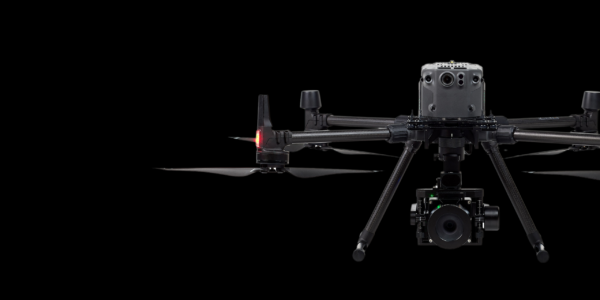
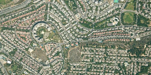
Joint webinar by Phase One and Trimble presenting an end-to-end fly-to-finish aerial mapping workflow. The session covers flight planning, image acquisition, quality control, and photogrammetric processing using the Phase One IX Suite and Trimble INPHO software solutions.
-
Throughout the session, practical examples highlight how the combined Phase One and Trimble solution delivers:
-
Faster production timelines
-
Higher geometric accuracy
-
Improved image quality control
-
Scalable processing for large mapping projects
-
Seamless support for RAW IIQ imagery
This webinar is ideal for aerial surveyors, mapping professionals, photogrammetry specialists, and geospatial organizations looking to streamline operations while maintaining the highest data quality standards.
-
Contact a Phase One Expert
Want to learn even more? Contact our experts!
Geospatial Webinars
On-demand webinar: How DAS Geospatial cut flight lines, reduced installation time, and increased mission efficiency: practical lessons for aerial mapping teams

Geospatial Webinars
On-demand webinar: Achieve reliable 1 cm corridor data with the CM-1 from IGI & Phase One. Practical insights from Kavel 10 and Esri

Geospatial Webinars
On-demand webinar: Bridging the gap between commercial drones and manned aviation with Phase One P5 and TerX
Geospatial Webinars
On-demand webinar: From Pixels to Perception™ with Skyline’s PhotoMesh Automation and Globe Dissemination
Geospatial Webinars
On-demand webinar: From PIXELS to PERCEPTION™ in the World of Esri

Geospatial Webinars
On-demand webinar: Decoding Data – Using high-resolution imaging and Spotscale AI for concrete inspection
Geospatial Webinars
Automated network inspection with LINIA on-demand
Geospatial Webinars
Scaling UAS Asset Inspections with the Phase One P3 on-demand
Geospatial Webinars
Scale Up Your Inspection with Phase One P3 on-demand
Geospatial Webinars
How to best automate and scale high-quality inspection workflows with Drone Harmony

Geospatial Webinars
A new approach to aerial imaging
Geospatial Webinars
Mission quality review, image adjustment, correction and conversion with Phase One iX Process