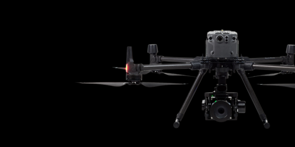
View the webinar: From Pixels to Perception™ with Skyline’s PhotoMesh Automation and Globe Dissemination
Sign up to access our exclusive on-demand webinar, organized by Phase One in partnership with Skyline.
Learn how to scale 3D modeling, streamline QA, and deliver geospatial data with impact. Explore how Phase One’s high-res imaging and IIQ RAW format are optimized for Skyline’s PhotoMesh automation engine.
See real-world examples of how these tools create city-scale 3D models, nationwide orthophotos, and detailed inspection outputs—fast. Plus, learn how to fuse LiDAR, confirm QA, and deliver via Skyline Globe Server & TerraExplorer Fusion.
Geospatial Webinars
On-demand webinar: How DAS Geospatial cut flight lines, reduced installation time, and increased mission efficiency: practical lessons for aerial mapping teams

Geospatial Webinars
On-demand webinar: Achieve reliable 1 cm corridor data with the CM-1 from IGI & Phase One. Practical insights from Kavel 10 and Esri

Geospatial Webinars
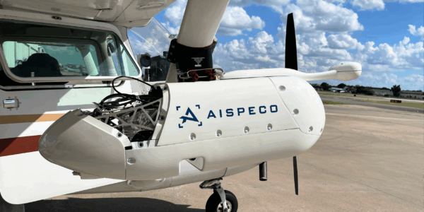
On-demand webinar: Bridging the gap between commercial drones and manned aviation with Phase One P5 and TerX
Geospatial Webinars
On-demand webinar: From PIXELS to PERCEPTION™ in the World of Esri

Geospatial Webinars
On-demand webinar: Decoding Data – Using high-resolution imaging and Spotscale AI for concrete inspection
Geospatial Webinars
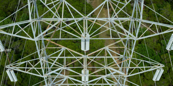
Automated network inspection with LINIA on-demand
Geospatial Webinars
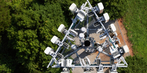
Scaling UAS Asset Inspections with the Phase One P3 on-demand
Geospatial Webinars
Scale Up Your Inspection with Phase One P3 on-demand
Geospatial Webinars
How to best automate and scale high-quality inspection workflows with Drone Harmony
Geospatial Webinars
How to Increase Efficiency with Phase One Cameras and the High-Quality Trimble Inpho Photogrammetric Workflow

Geospatial Webinars
A new approach to aerial imaging
Geospatial Webinars
Mission quality review, image adjustment, correction and conversion with Phase One iX Process