PAS Datasets
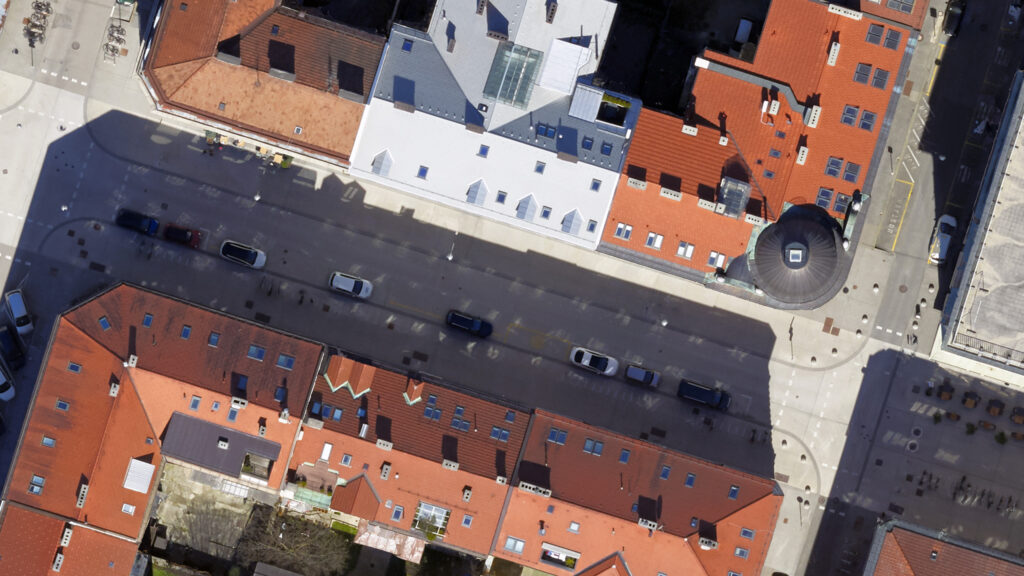
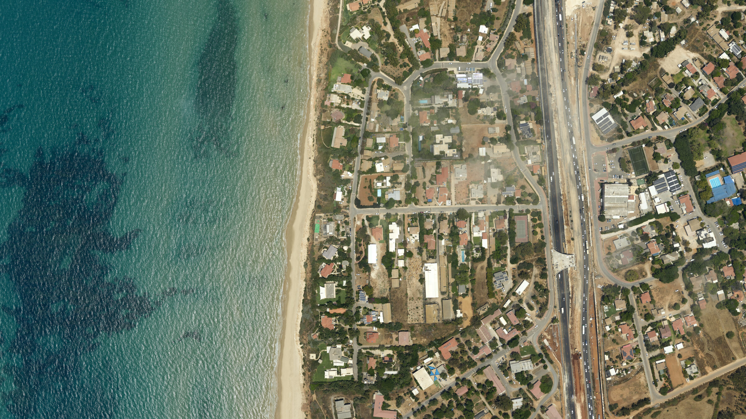
3D city modelling with Phase One PAS 880
Experience the future of urban development through our comprehensive 3D city modeling project with our PAS 880 designed to revolutionize how municipalities visualize and manage urban spaces.
GSD: 5cm
Altitude: 4600 ft
Swath: On nadir 875 meters
Exposures: 581 ( 2905 images)
Project Size: 8610 x 3150 meters
Request access to our PAS datasets
Fill out the form to get in touch with our sales team. Let us know which dataset(s) you need and in which format. If you’re not sure, just describe your project and we’ll help you find the right files.
Available data formats include:
- Raw images (IIQ)
- Converted images (TIFF)
- Orthophotos (TIFF)
- Point Clouds (LAS, LAZ)
- Meshes (SLPK, OBJ, OSGB)
- Project files (IXP, IXF, PRJ)