3D MODELLING | 2D MAPPING | 4-BAND | AGRICULTURE & FORESTRY
Mapping & Surveying
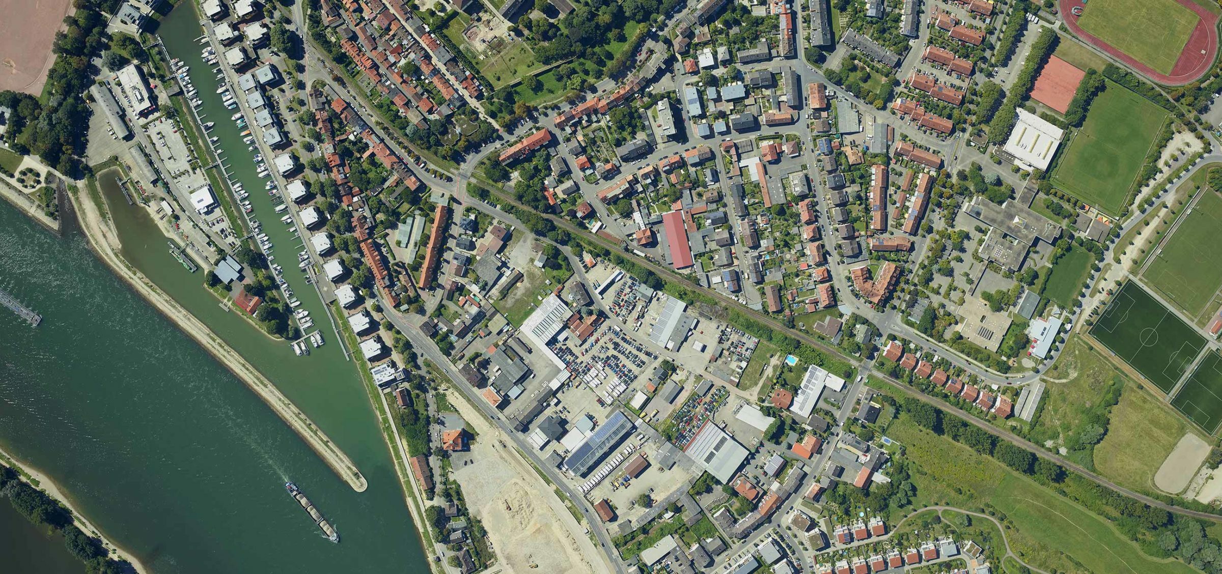
Focusing on the small details, seeing the large picture
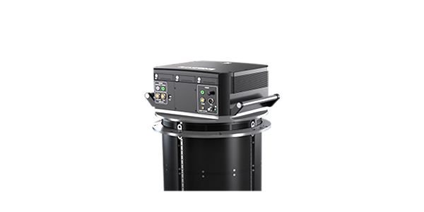
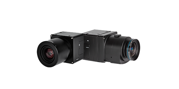
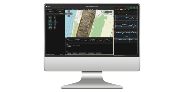
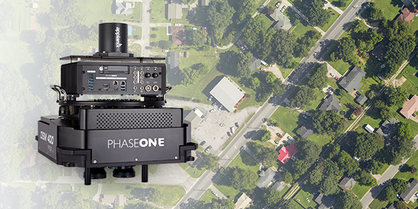
Phase One offers precision aerial 2D and 3D mapping cameras and photogrammetry solutions that simplify aerial survey and mapping processes. With a diverse and easy-to-integrate line of products, Phase One provides unlimited, accurate, and reliable aerial data that enables users to effortlessly execute photogrammetry and mapping missions, capture high-resolution images, and perform 2D and 3D mapping. Phase One Geospatial Solutions also offer 4-band, combining NIR and RGB aerial imagery for various agricultural and forestry applications.
View our latest case studies
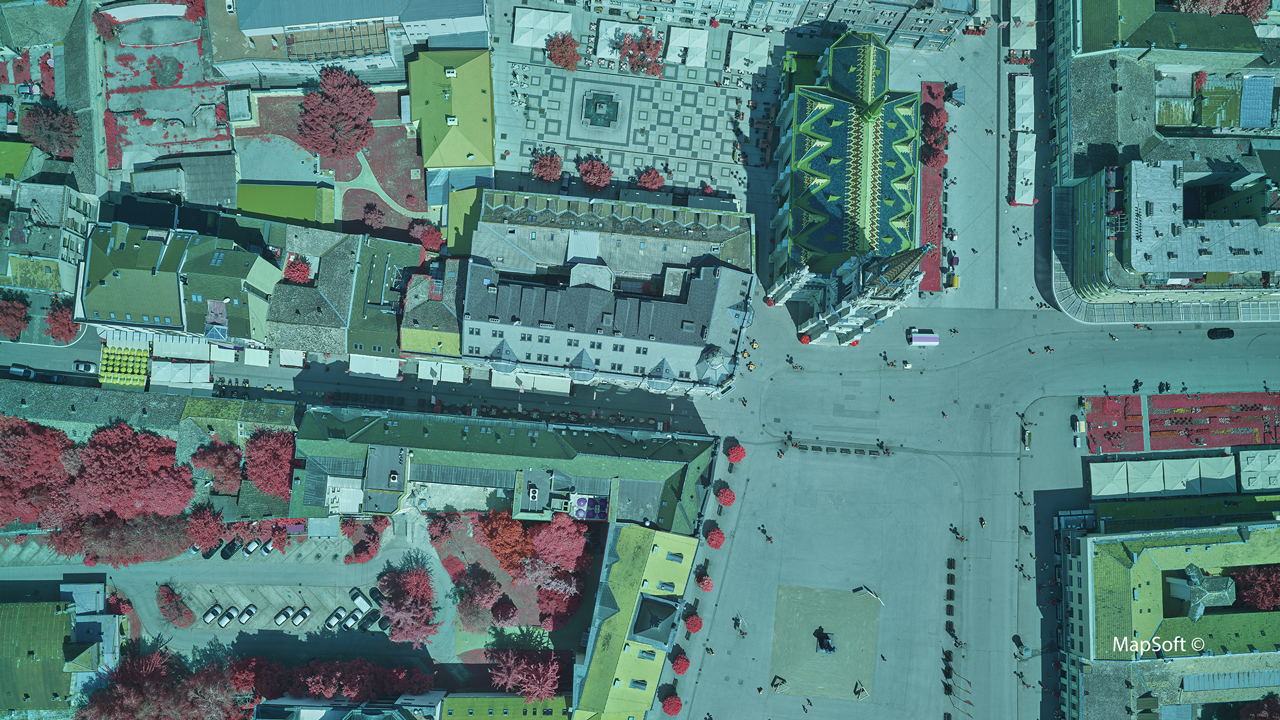
MapSoft - 40% faster 4-Band data acquisition when digitally mapping Novi Sad city with a multi-sensor aerial system.
MapSoft uses a hybrid aerial system consisting of two Phase One 100MP cameras and a LiDAR scanner to digitize the city of Novi Sad, the second-largest city in Serbia, and develop a geographic information system (GIS) solution of its urban green areas.
Atlantic - Confidently acquiring large-format imagery with Phase One’s 280MP Aerial Solution
Atlantic’s investment in Phase One’s large format aerial system affords them the opportunity to confidently provide quality imagery over large areas, and offer a wider range of in-house services to their clients.
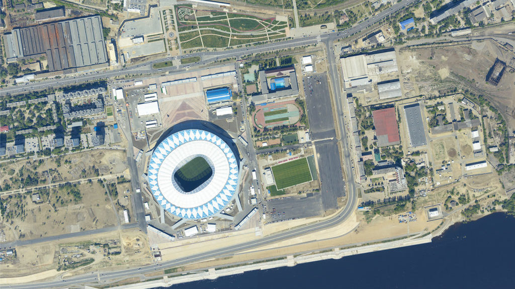
Uralgeoinform – A Phase One Aerial Solution increased profitability by 25%
In order to diversify its revenue, Uralgeoinform decided to develop aerial survey capabilities in a large territory of the Russian Federation. After an economic evaluation with leased equipment yielded positive results, the company acquired the Phase One 190MP Aerial Solution.
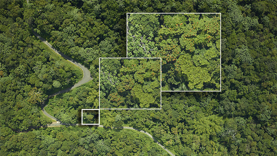
NASA G-LiHT – High-resolution, multi-sensor data to characterize forests
After hurricane-caused deforestation in Puerto Rico, NASA scientists study forest regrowth using high-resolution, multi-sensor data. As a key component of NASA’s G-LiHT system, a 100-megapixel Phase One aerial camera was used to produce RGB photographs for identification of fine-scale canopy features.
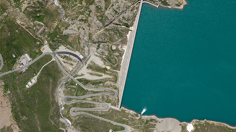
DigiSky SmartBay – A multi-level approach to aerial photogrammetry
DigiSky offers aerial photogrammetry and monitoring services, and recently completed a multi-level remote sensing mission for IREN ENERGIA S.p.A. to map the Serrù reservoir and hydroelectric production plant. A Phase One iXM-RS150F aerial camera (90mm optics) installed into a SmartBay© avionic system captures data used to produce Digital Elevation Models (DEM) and orthophotos.
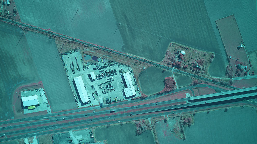
ADS – Ultra-high resolution imagery for oil and gas pipeline planning
Air Data Solutions were appointed by Total Midstream Integration (TMI) to capture data of oil and gas midstream pipelines. Precise aerial imagery was used to determine Right of Way (ROW) mapping and wetland identification for pipeline installation and maintenance. A complete 4-Band solution for Right of Way mapping!
We had such a great experience with Phase One when we purchased our medium format cameras from them that we expanded our partnership by purchasing their 280MP Aerial Solution.
We love to integrate Phase One technology into our turnkey solutions!
The Phase One iXM-RS 150MP Camera's wide swath allowed us to fly at higher altitudes, faster speeds and acquire larger aerial images in two thirds of the time.
Phase One Aerial Cameras provide outstanding quality and reliability. The sensor's high sensitivity means our IGI UrbanMapper can be operated under poor light conditions at high aircraft speeds.
The acquisition of our own aerial solution led to an increase of orders for aerial survey missions by 2.3 times compared to the year before.
Once we landed, I was so surprised that we didn’t have a need to fly again (as with many other survey and Lidar flights). There had been no issues at all and all relevant data had been collected.
Our partners


Keep informed about
Phase One Geospatial
We send regular newsletters with case studies, white papers, videos, event and webinar invitations, and other great information. Sign up to keep informed!