Corridor Mapping
High Resolution Aerial Imagery Improves Oil and Gas Pipeline Right of Way & Wetland Identification
Air Data Solutions were appointed by Total Midstream Integration (TMI) to capture data of oil and gas midstream pipelines. Precise aerial imagery was used to determine Right of Way (ROW) mapping and wetland identification for pipeline installation and maintenance.
A Complete 4-Band Solution for Right of Way Mapping
In 2018, Air Data Solutions were appointed by Total Midstream Integration (TMI) to capture data of oil and gas midstream pipelines. Aerial images were to be used to determine Right of Way (ROW) mapping and wetland identification for pipeline installation and maintenance. The combined NIR and RGB aerial imagery from the 4-band solution would be used to plan routes, identify structures along the ROW, and assist in identifying vegetation stress, which could indicate oil and gas leaks.
ADS was using DSLR cameras to capture survey data, but they soon realized that they needed to offer better quality images and that the current technology was not able to produce their required results. In order to meet customer demands and maintain the use of ADS’s current fixed-wing platform, they needed a solution that would improve productivity, reduce hours in the air and increase image processing speed. The Phase One 100MP aerial system offered a 43% increase in productivity thanks to its larger format sensor for high-resolution images, easy installation into the current ADS fleet of aircraft, and compatibility with their existing platform.
With the newly purchased Phase One Aerial System, the data collection flight for TMI surpassed expected planned flight hours and turnaround time. With larger ground coverage from the system, in just one pass, ADS delivered higher quality data to their customers with less than half the previous processing times.
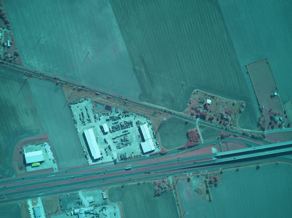
Image: Example 4-Band NIR and RGB image. ADS 2018 ©.
We needed a complete turnkey aerial imaging solution, compact in size, and light in weight and flexible enough to be able to use our current fleet of aircraft, improve productivity, and ultimately bid on bigger projects.
The Phase One industrial Aerial Camera System provides ADS with a full turnkey solution, which takes their business to new heights.
Fly More Hours in a Day
The Phase One Aerial System has an ISO of 50-6400, with an amazing dynamic range of 83dB which means longer flying hours and if necessary, in poor light conditions, still providing perfect imagery. Data collection of a 100,000 acre area with the medium format 100MP cameras took around 3 hours to complete at a flight altitude of 3,500 feet and provided a ground sampling distance (GSD) of 4 inches. A similar project in the previous year using the old DSLR camera system took 8 hours to complete at a lower altitude of 3,000 feet and provided a GSD of 6 inches.
“We can fly faster and lower in most light conditions and have actually flown missions down to as low as a 2-degree sun angle and still produced acceptable images for visual analysis. We now also fly fewer flight lines for corridor mapping and reduce our time in the air.”
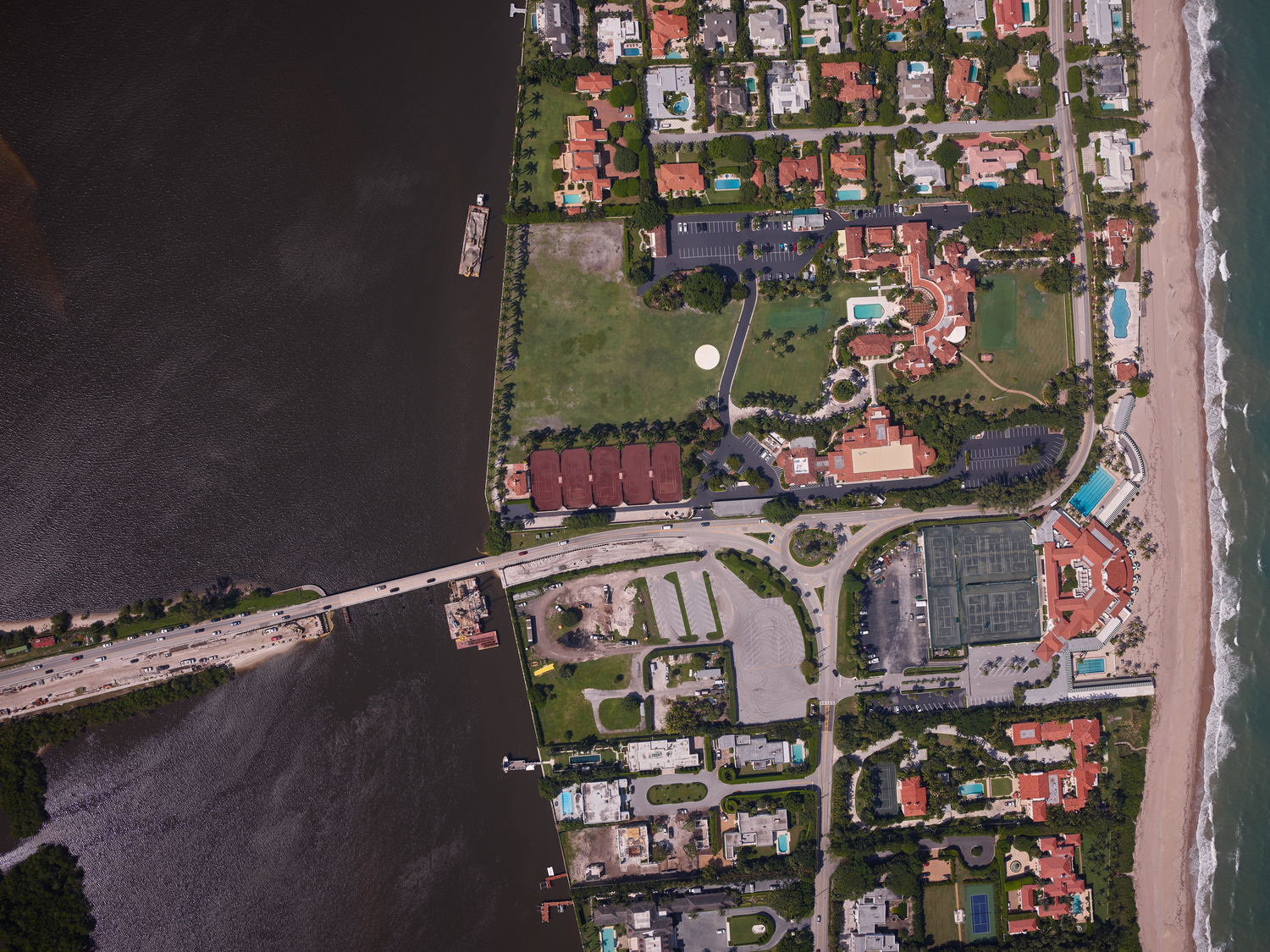
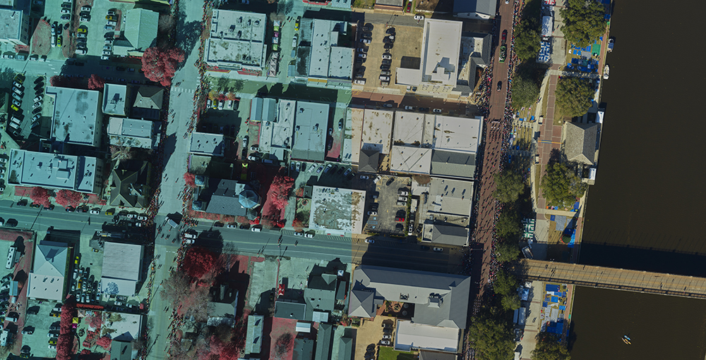
Image: Mar a Lago Resort, Palm Beach. Fl. – ADS 2019 ©
Complete Solution: Flight Planning to Image Processing
Phase One Aerial systems are more than just the hardware that ADS needs to maintain the use of their current fixed-wing platform but also includes software that improves mission productivity, reduces hours in the air and increases image processing speed.
iX Plan and iX Flight provide the additional resources needed to manage and guide the precise execution of aerial photography missions and further reduce pilot and operator workload.
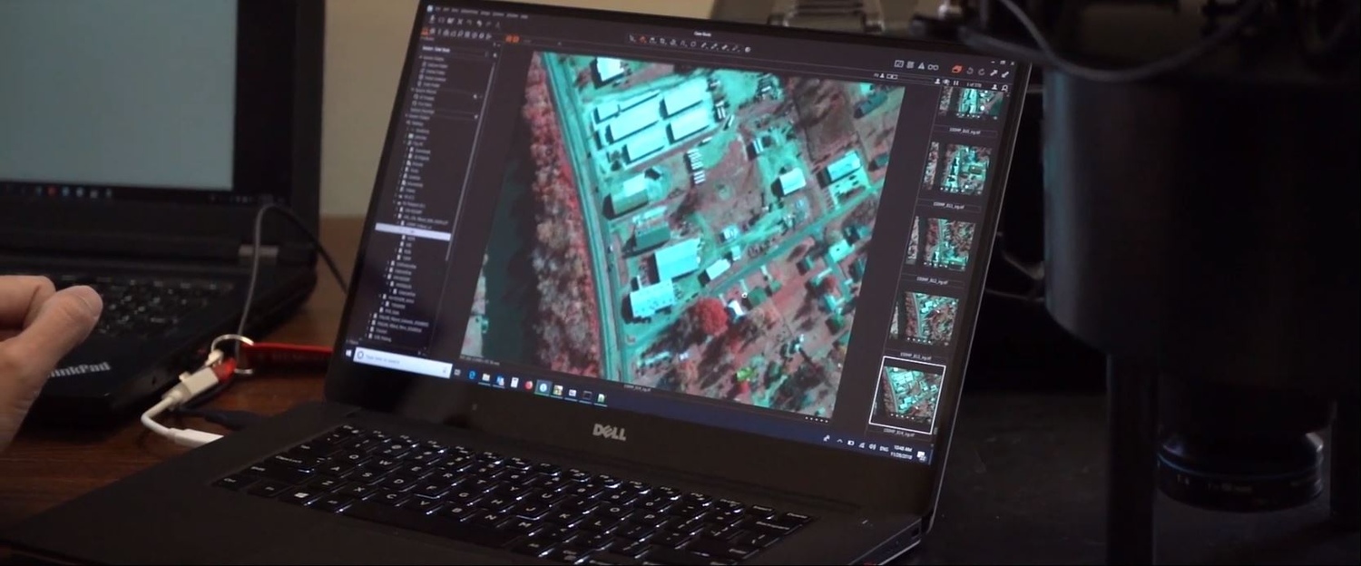
After landing, data is easily processed into georeferenced industry standard formats. iX Capture provides outputs in different industry standard formats; 4-band TIFF, CIR, NDVI or others to meet end-user requirements.
Image: iX Plan, iX Flight. and iX Capture software helps to manage and guide the precise execution of aerial photography missions and post production work.
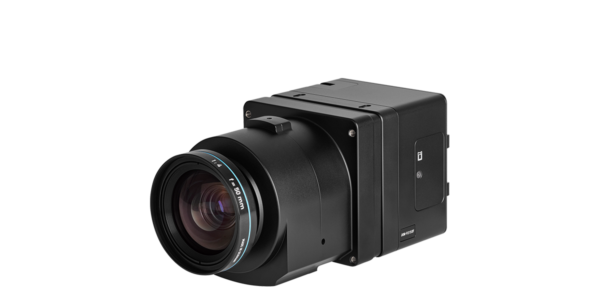
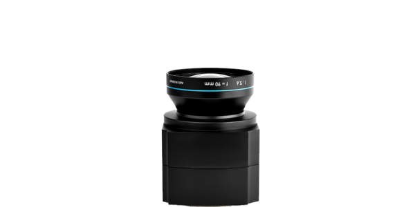
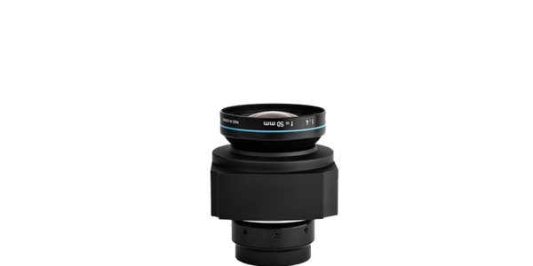
Phase One Aerial System
The Phase One 100MP aerial system comprises:
- Two sychronized iXU-RS1000 cameras (RGB and NIR)
- iX Controller with removable SSD tray for secure data transfer
- SOMAG DSM400 gyro stabilizer
- Applanix GNSS/IMU system
- iX Capture Software
ADS also purchased:
- iX Flight – flight management system
- iX Plan – flight planning software
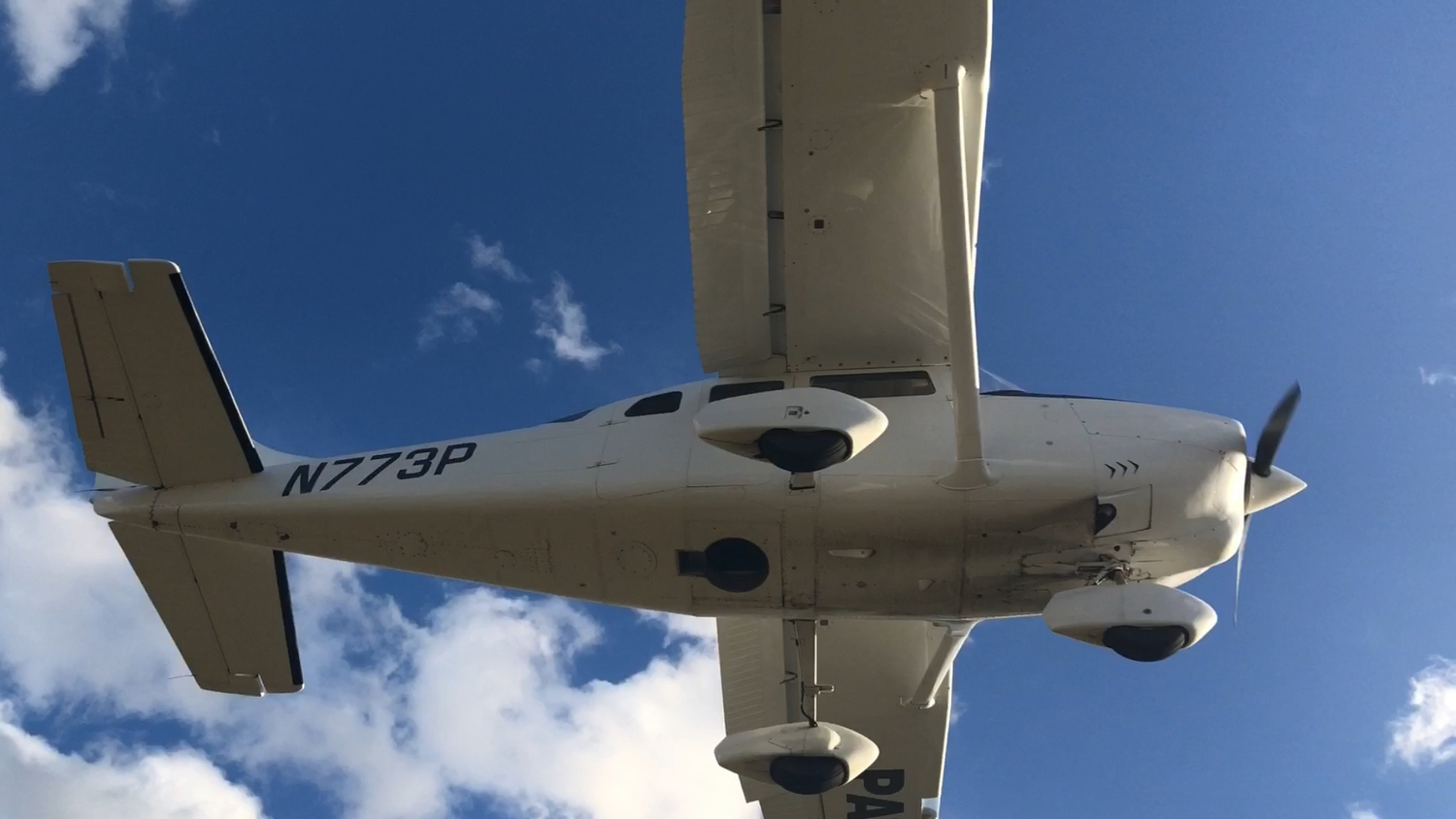
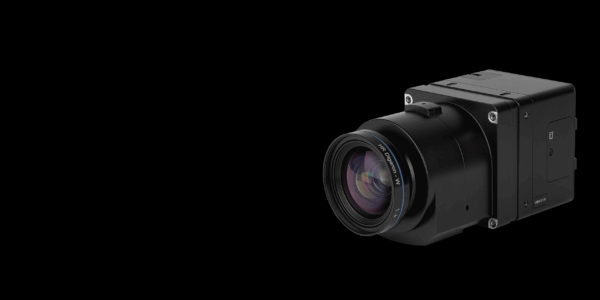
Image: Phase One Aerial System – Compact and Light enough to fit into ADS’s Cessna – ADS 2018 ©
Improving Efficiency, Increasing Business
Don Cummins is passionate about agriculture and flying, which inspires the Air Data Solutions (ADS) President to deliver real workable data from aerial photography missions. The company began by providing simple aerial photography to farmers and landowners for property management and has developed into offering more sophisticated data acquisition services, such as 4-band imagery, to natural resource, and oil and gas stakeholders. Don understands that improving image quality and processing efficiency, by investing in aerial systems, is key to growing his business and opening up opportunities previously out of reach, especially in ROW mapping and wetland identification.
Image: Phase One Industrial 100MP aerial system offers an excellent solution for agriculture applications and can be used to capture NIR and RGB data simultaneously in one flight. Image in RGB (right) and CIR (left), Natch, USA. – ADS 2019 ©.
Opening Up New Business Opportunities
ADS has opened up new business opportunities previously out of reach.
“Phase One Industrial has really exceeded our expectations. The system is less complicated to install than I had initially thought. ” Cummins continues, “Phase One software guides us through the precise execution of aerial photography flights. Before each mission, we enter flight parameters in iX Plan, which creates optimal flight lines. In the air, iX Flight helps to maintain exact directory and improve data collection. After landing, data is easily processed into georeferenced industry standard formats with iX Capture.”
“Phase One’s backside-illuminated CMOS technology means that I am able to fly longer hours in the day.”
Best of all,” says Don, “Our new aerial system holds two cameras in 4-band configuration, which we use to capture data NIR and RGB data. We are now able to also collect 4-band data for TMI in just one flight, when previously we could only supply 3-band, simultaneously. This has allowed us to bid on projects we were not able to do in the past”
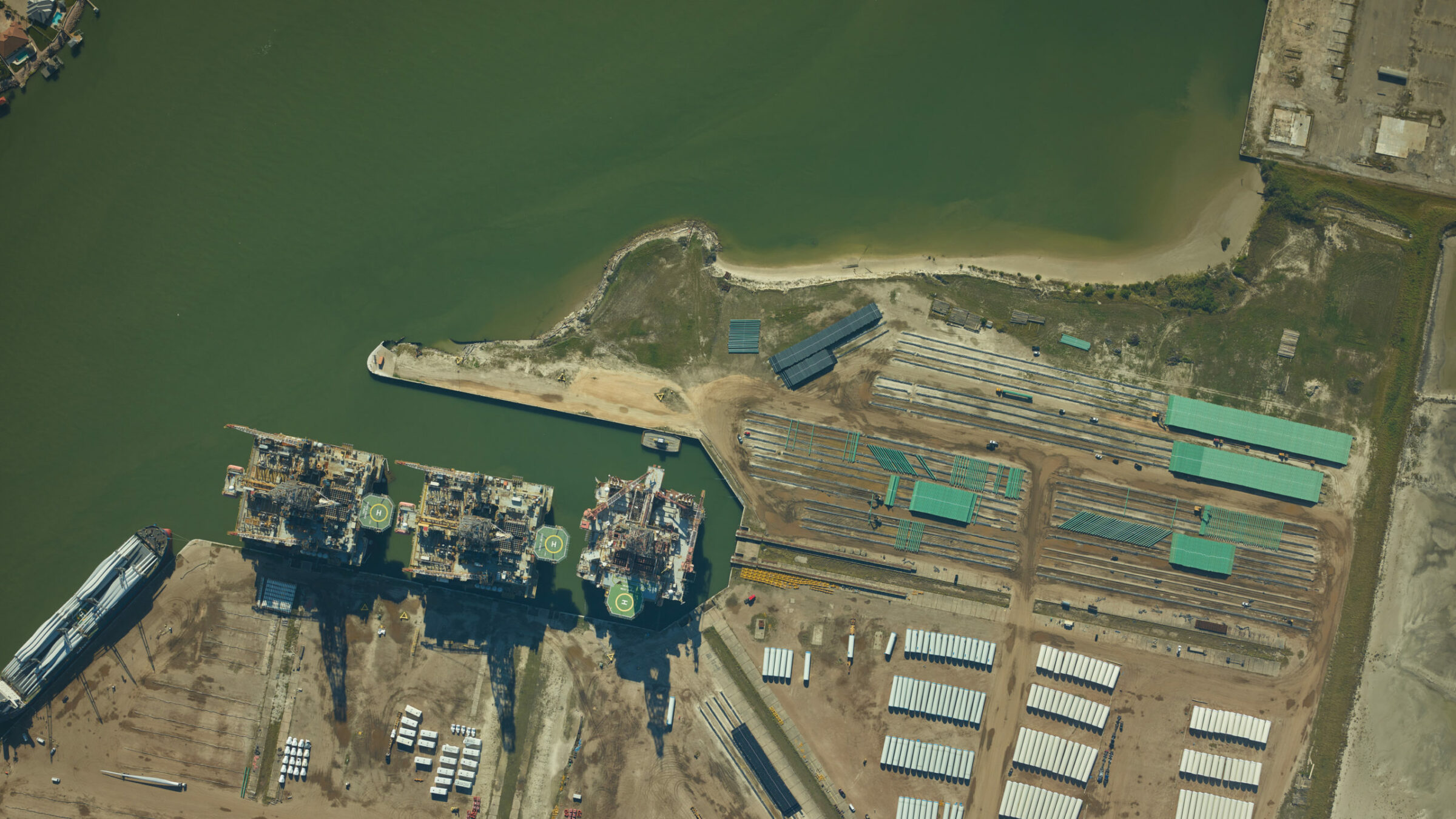
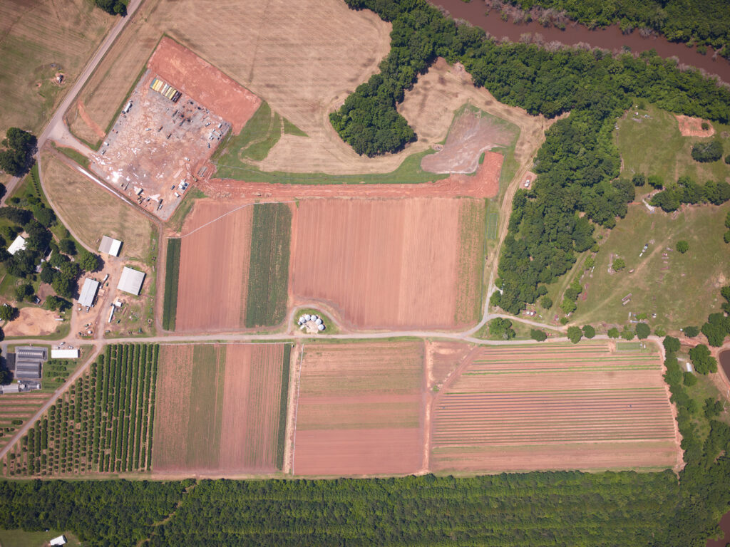
Image: Well and pipeline taken with a Phase One 100MP Aerial System, USA. – ADS 2018 ©.

Geospatial
Eight perspectives, one system

Geospatial
Finding tiny cracks with UAVs opens new opportunities

Geospatial
From capture to corridor intelligence: How Kavel 10 scaled 1 cm mapping with the Phase One + IGI CM-1

Geospatial
From sensors to solutions: How AISPECO orchestrates precision in reality surveying

Geospatial
Monitoring pipeline corridor using PAS 280 large format camera

Geospatial
Preventing Wild Bushfires By Mapping Planned Burns

Geospatial
Novice Aerial Photographer Becomes Advanced Mapping Provider

Geospatial
Inspecting Wind Turbine Blades While They Are Rotating

Geospatial
Precision at Altitude: Redefining Aerial Mapping with the PAS 880 Oblique Camera System

Geospatial
Perfecting telescope dish accuracy with UAV photogrammetry

Geospatial
Saving costs while lowering carbon footprint: Innovative aerial surveying service uses small airplanes enabled by compact cameras

Geospatial
Detecting forest tree diseases using a large-format camera on an ultralight aircraft

Geospatial
Mapping lava flows during volcanic eruptions in Iceland

Geospatial
The PAS Pana: a 48,800-pixel camera innovated with our customer Surdex

Geospatial
Rebuilding after Hawaii’s wildfire with engineering-grade surveying
Press Release
Phase One introduces iX Process – a new standard for simplified, high-performance mapping workflows
Press Release
A new benchmark – sub-centimeter aerial mapping at aircraft speeds without compromises

Press Release
A new era in aerial imaging technology – made easy to adopt

Geospatial Blog
Part Two of: Taking Off – our pre-flight checklist for aerial mapping as the season takes off

Press Release
Carbonix, RIEGL, Phase One announce first fixed-wing VTOL integration of long-range dual sensor system

Geospatial Blog
Insights and future trends at Geo Week 2024

Press Release
Phase One Appoints HALG | Hindustan Assistant & Logistic Group as Official Technical Partner in India to Enhance Local Support and Engagement
Press Release
Phase One Introduces PAS Pana at InterGeo 2023: The Most Effective Wide Area Camera for Aerial Mapping

Press Release
Phase One announces New Calibration Lab and Geospatial Center of Excellence in Denver