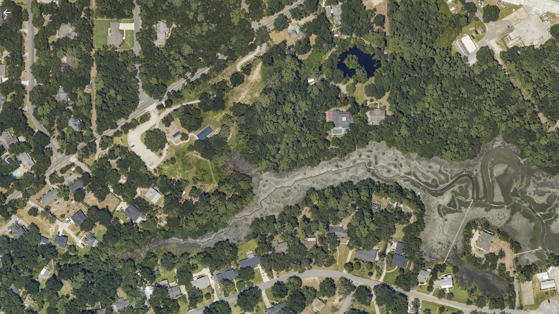
Corridor Mapping
Confidently Acquiring Large-format Imagery with Phase One’s 280MP Aerial Solution
Atlantic’s investment in the new phase one large-format camera system affords them the opportunity to now confidently self-provide quality imagery over large areas and offer a wider range of in-house services to their clients.
Large-Format Aerial Solutions Widen Revenue Stream
Atlantic is an airborne remote sensing, survey, and consulting business that operates over North America. Their customers are more sophisticated, have higher expectations, and better standards. Having equipment that can help them meet and exceed those expectations is so critical and key for the company.
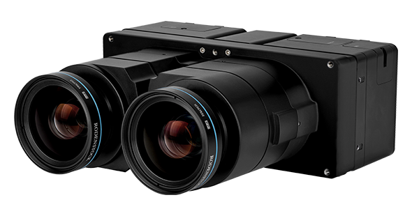
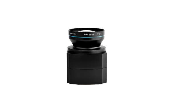
The business had purchased a 100-megapixel medium format Phase One Aerial System and really appreciated their initial experience so much, that they ended up buying two additional medium format cameras. A little less than two years later, Atlantic has expanded its partnership with Phase One by purchasing their 280MP large-format aerial system (PAS 280).
“The quality of imagery based on our new system is night and day. We’re able to get a crisper, less hazy, less overexposed image overall” explains Scott Jones, Atlantic Vice President.
Being able to purchase a large-format solution at a reasonable price means that they can provide data acquisition services at a competitive price for their clients. The company is able to offer a better product and really expand what they can propose on, what they can collect. This allows Atlantic to get into different markets and expand themselves into different regions based on the higher capability of the camera.
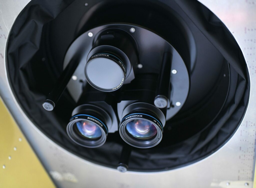
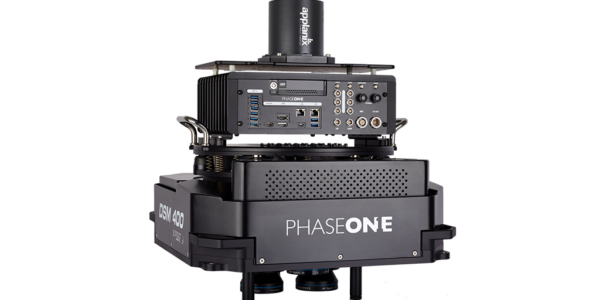
Image: Phase One 280MP Aerial Solution (seen from below) Installed in Atlantic aircraft – Atlantic 2020 ©


The PAS 280MP had an impact in several different ways, probably the biggest would be confidence in the data we're acquiring. There's now a certain confidence that when the system goes out into the field that we're getting good results every time, the first time.

Geospatial
Eight perspectives, one system

Geospatial
Finding tiny cracks with UAVs opens new opportunities

Geospatial
From capture to corridor intelligence: How Kavel 10 scaled 1 cm mapping with the Phase One + IGI CM-1

Geospatial
From sensors to solutions: How AISPECO orchestrates precision in reality surveying

Geospatial
Monitoring pipeline corridor using PAS 280 large format camera

Geospatial
Preventing Wild Bushfires By Mapping Planned Burns

Geospatial
Novice Aerial Photographer Becomes Advanced Mapping Provider

Geospatial
Inspecting Wind Turbine Blades While They Are Rotating

Geospatial
Precision at Altitude: Redefining Aerial Mapping with the PAS 880 Oblique Camera System

Geospatial
Perfecting telescope dish accuracy with UAV photogrammetry

Geospatial
Saving costs while lowering carbon footprint: Innovative aerial surveying service uses small airplanes enabled by compact cameras

Geospatial
Detecting forest tree diseases using a large-format camera on an ultralight aircraft

Geospatial
Mapping lava flows during volcanic eruptions in Iceland

Geospatial
The PAS Pana: a 48,800-pixel camera innovated with our customer Surdex

Geospatial
Rebuilding after Hawaii’s wildfire with engineering-grade surveying
Press Release
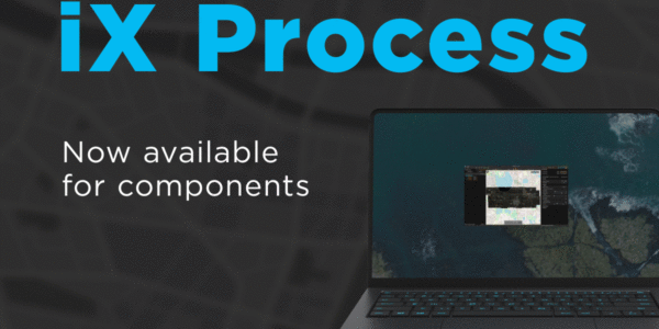
Phase One introduces iX Process – a new standard for simplified, high-performance mapping workflows
Press Release
A new benchmark – sub-centimeter aerial mapping at aircraft speeds without compromises

Press Release
A new era in aerial imaging technology – made easy to adopt

Geospatial Blog
Part Two of: Taking Off – our pre-flight checklist for aerial mapping as the season takes off

Press Release
Carbonix, RIEGL, Phase One announce first fixed-wing VTOL integration of long-range dual sensor system

Geospatial Blog
Insights and future trends at Geo Week 2024

Press Release
Phase One Appoints HALG | Hindustan Assistant & Logistic Group as Official Technical Partner in India to Enhance Local Support and Engagement
Press Release
Phase One Introduces PAS Pana at InterGeo 2023: The Most Effective Wide Area Camera for Aerial Mapping

Press Release
Phase One announces New Calibration Lab and Geospatial Center of Excellence in Denver