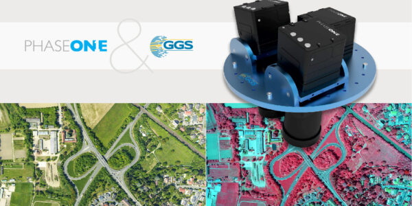
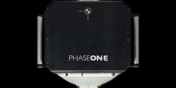
Advancing Aerial Surveying and Professional Photogrammetry Mapping, live webinar IGI & Phase One!
Join us for our next webinar with IGI to learn how to increase flying efficiency and surveying productivity with the new IGI UrbanMapper-2 and create perfect ultra-high-resolution 3D city models without the use of LiDAR!
This webinar will cover:
- Shaping a new era for 3D city modelling and urban planning only from imagery
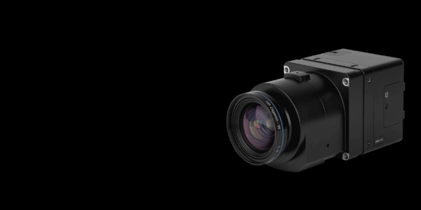
- Highest efficiency large-format digital aerial camera systems
- Largest swath width with the fastest image repetition rate
- Unparalleled surveying productivity
- Outstanding technical support
Thu 25.02.2021
Time: 16:00 PM – 17:00 PM CET
Host/Presenter:
Philipp Grimm – IGI
Valerio Gulli – IGI
Carsten Wieser – Phase One