Part Two of: Taking Off – our pre-flight checklist for aerial mapping as the season takes off
As the aerial mapping season gets underway, it’s time for professionals in the field to ensure their aircrafts and tools are finely tuned for precision and accuracy. Whether you are a seasoned mapper or a newcomer, our Support Engineer and US Flight Test Manager Christopher Barcelona has put together this checklist, as a reminder for the upcoming flying season, which will help you make the most of your aerial mapping projects.
Checklist for the upcoming flying season:
- Aircraft and Sensor Inspection:
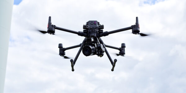
- Aircraft Condition: Conduct a thorough examination of your aircraft. Inspect the airframe, propellers, and motors for any signs of wear or damage.
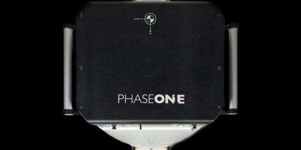
- Sensor Calibration: Ensure your mapping camera sensor is properly calibrated. Check for optimal performance, focus, and any potential issues with the lens or sensors.
- Software and Data Preparation:
- Update your Software Suite: Keep your flight planning, operation and post processing updated and benefit from the latest features and improvements.
- Data Management: Organize and clear storage space for the extensive data collected during mapping flights. Establish a systematic approach to data organization and backup.
- Regulatory Compliance:
- Review Regulations: Stay informed about any changes in regulations specific to aerial mapping. Comply with local laws and obtain necessary permits or authorizations.
- Weather Monitoring:
- Weather Forecast: Regularly check weather forecasts, paying close attention to factors like wind speed, precipitation, and cloud cover. Plan your mapping missions accordingly.
- Temperature Considerations: Be aware of temperature variations, as they can impact the performance.
- Safety Measures:
- Pre-flight Safety Checks: Perform pre-flight checks, inspecting your equipment and surroundings to ensure a safe and smooth operation.
- Emergency Procedures: Familiarize yourself with emergency procedures, including how to handle technical malfunctions.
- Flight Planning:
- Mission Planning: Plan your mapping missions with precision, considering the area to be covered, altitude, and overlap settings for optimal data collection.
- GPS Accuracy: Verify GPS accuracy to ensure precise georeferencing of the collected data.
- Training and Skill Enhancement:
- Pilot Proficiency: Sharpen your piloting skills through simulations or refresher courses, especially focusing on precise flight paths and maneuverability.
- Communication with Stakeholders:
- Client Coordination: Communicate with clients to confirm project timelines and expectations. Ensure alignment on the deliverables and any specific requirements.
By meticulously adhering to this aerial mapping checklist, you will be well-equipped to start into the season with confidence, knowing that your mapping equipment is in top condition, and your planning is thorough for accurate data collection.
Reach out to Phase One support for any questions or additional training requests!
Ready for take off?

Share this on social media:
