An overview of 20 years of Phase One aerial surveying sensor integration by GGS
A webinar with GGS covering their comprehensive integration opportunities with Phase One sensors in GGS photogrammetry solutions.
This webinar covers:
- An overview of GGS and its global activities (France and Turkey, activities in Namibia)
- The history – from Geotechnology in 1988 to Photogrammetric surveying since 2000
- The beginnings: Balloon photogrammetric solutions for ultra-high resolution data for cultural heritage and the first UAV applications
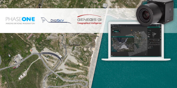
- Aerial system integration, the first turnkey-solutions using Phase One and Multispectral Imaging
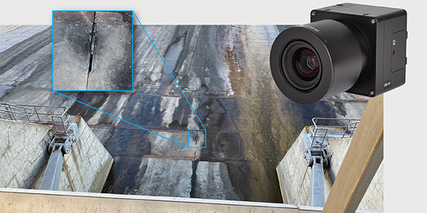
- Multi-sensor integration (Thermal and RGB)
- Oblique imaging systems
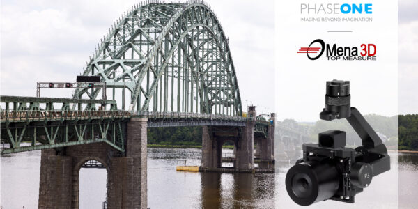
- Multi-sensor integration, Powerline Monitoring, and other applications
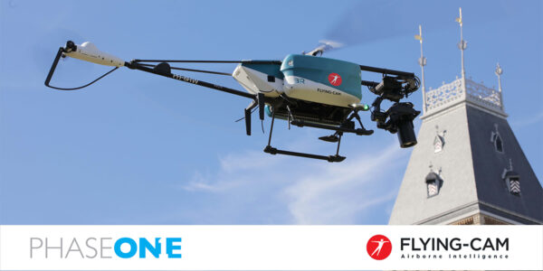
- UAV development plus smart gimbal
- An outlook and new developments
Tue 11.05.2021
Time: 08:00 AM – 09:00 AM MDT
Time: 16:00 PM – 17:00 PM CET
Host/Presenter:
Dr. Gerhard Kemper – GGS GmbH
Carsten Wieser – Phase One
Carsten Wieser – Phase One