
Inspection
How to best automate and scale high-quality inspection workflows?

Webinar
How to Increase Efficiency with Phase One Cameras and the High-Quality Trimble Inpho Photogrammetric Workflow

Webinar
Next Generation Aerial Solutions
Webinar
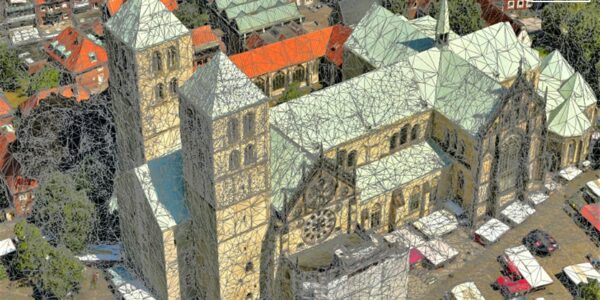
Mission quality review, image adjustment, correction and conversion with Phase One iX Process
Webinar
Processing Phase One imagery with Correlator3D version 9.2
Webinar
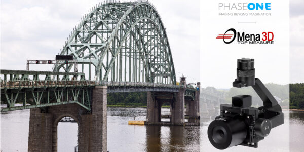
Using the right sensor for the right job
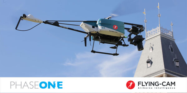
Webinar
Unmanned Airborne Intelligence with a Soul Inside by Flying-Cam
Webinar
Highest Resolution Drone Platform Coming to the Arab World! منصة طائرات بدون طيار عالية الدقة قادمة إلى العالم العربي!
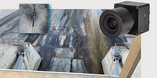
Webinar
How Digital-Twins of Hydro-power Dams support Plant Operations
Webinar
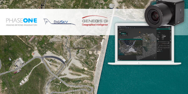
Addressing current geospatial needs with the flexible Phase One Aerial System portfolio

Webinar
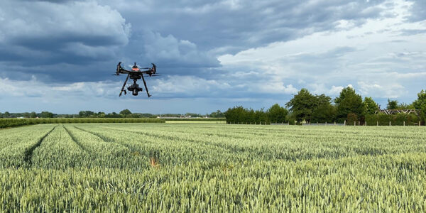
Next level field Phenotyping with Pheno-Inspect – Individual AI-based experts for plant analysis
Webinar
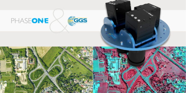
An overview of 20 years of Phase One aerial surveying sensor integration by GGS
Webinar
Advancing Aerial Surveying and Professional Photogrammetry Mapping – IGI & Phase One
Webinar
Using Drones and AI for High Throughput Phenotyping in Experimental Fields
Webinar
Large format oblique mapping at 880 MP from the imaging experts

Press Release
Phase One introduces iX Process – a new standard for simplified, high-performance mapping workflows

Press Release
A new benchmark – sub-centimeter aerial mapping at aircraft speeds without compromises

Press Release
A new era in aerial imaging technology – made easy to adopt

Geospatial Blog
Part Two of: Taking Off – our pre-flight checklist for aerial mapping as the season takes off

Press Release
Carbonix, RIEGL, Phase One announce first fixed-wing VTOL integration of long-range dual sensor system

Geospatial Blog
Insights and future trends at Geo Week 2024

Press Release
Phase One Appoints HALG | Hindustan Assistant & Logistic Group as Official Technical Partner in India to Enhance Local Support and Engagement
Press Release
Phase One Introduces PAS Pana at InterGeo 2023: The Most Effective Wide Area Camera for Aerial Mapping

Press Release
Phase One announces New Calibration Lab and Geospatial Center of Excellence in Denver