Insights and future trends at Geo Week 2024
Geo Week, a pivotal event for built environment and geospatial professionals was hosted recently in Denver. The event reflects the evolving landscape of technology and innovation within the geospatial industry, addressing changing needs and converging technologies. Recently, Michael Messerschmidt (Portfolio Director Drones/UAVs at Phase One) and Mohsen Miri (Director of Product Management Manned at Phase One) participated in Geo Week 2024. Today they are sharing their insights and emerging trends from this event, providing an outlook into the trends and the future of the geospatial industry.
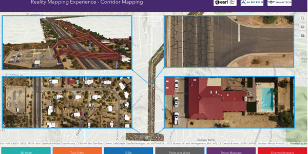
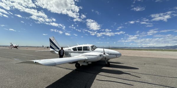
Different sensors and levels of precision for efficient and sustainable data acquisition
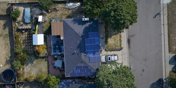
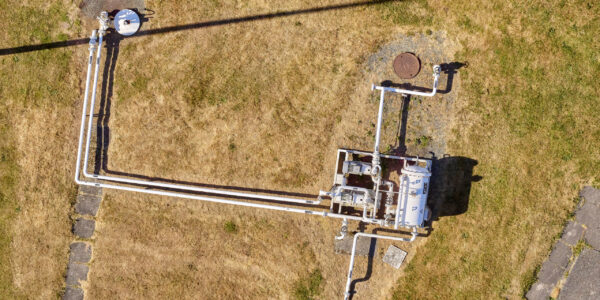
The featured sessions and panels focused on emerging technologies and future projections in geospatial by providing higher resolution sensors, innovative techniques for efficient data acquisition as well as scalable data processing in production. Depending on the size of your project and the needed accuracy, one could find high density SLAM-based sensors for indoor applications, through survey-grade imagery for outdoor constructions sites. This can be extended to large format sensors (PAS Pana from Phase One) for country-wide mapping projects. Fusion of sensors in airborne and ground-based platforms are growing into networking of multiple platforms, let’s call it Internet Of Sensors (IOS) for more productivity in data acquisition of one project. In a close future, you might capture the data of a large construction site or an agricultural project, with several connected UAV’s flown simultaneously over the area of interest. This will obviously demand higher performance cloud-based processing for more precise navigation of platforms, more synchronization in data acquisition, as well as more productivity in data delivery. Furthermore, data capturing circle will be simpler and extended to the consumer market using hand-held devices and smartphones. This level of detail will be the complementary part the larger scale datasets which have been captured by medium to large format aerial cameras and Lidar solutions.
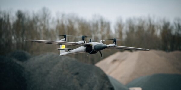
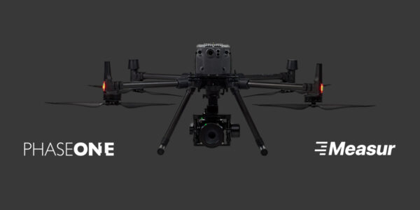
The rising mainstream adoption of UAVs in surveying
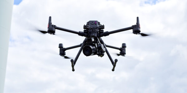
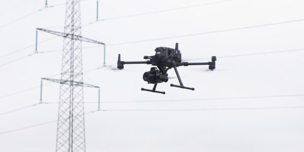
Drones, or Unmanned Aerial Vehicles (UAVs), equipped with survey-grade sensors, are transforming surveying practices. The integration of these sensors has accelerated the mainstream adoption of UAVs due to their exceptional speed, precision, accessibility to remote areas, and cost-effectiveness. UAVs, with survey-grade sensors, can outperform traditional surveying methods by significantly reducing project timelines and costs.
While UAVs have revolutionized geospatial surveying, there is no one-size-fits-all solution. Surveyors must understand project requirements, spatial factors, and constraints before choosing between LiDAR and image sensors. Combining these sensors in a tailored approach enhances data quality, allowing for multidimensional insights, accurate feature extraction, and improved decision-making. The success of UAV-based surveying lies in strategic integration and a customized approach to address unique challenges.
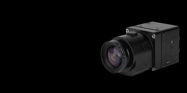
Quality of data defines the reliability of AI
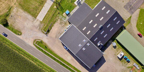
Making decisions based on the results of Artificial Intelligence (AI) is going to be an inseparable part of our daily life. AI is reshaping geospatial data analysis with rapid evolvements machine learning, deep learning, and computer vision. Smarter Geo-AI algorithms can prove their reliability based on high quality, high accuracy, and trustful input geo data into their deep learning engines. Providing high resolution imagery sensors (P5 from Phase One) where you can measure the width of a grass from a flight height of 60 meters above ground, shows how precise the machine learning algorithm should be to recognize healthiness or diseases of plants in agricultural and forestry applications. However, the effectiveness of AI algorithms relies on high-quality input data. By prioritizing data quality, stakeholders can unlock AI’s full potential in geospatial data analysis, contributing to a more informed and sustainable future.
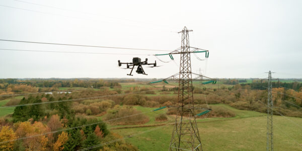
Realtime imagery vs sustainable geo-information
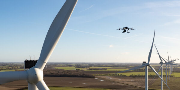
To choose the right sensors and processing method, one should define how fast and how accurate the data should be acquired. These could vary from high-quality inspection of moving objects like wind turbines, through high density point cloud and 3D model of urban objects for smart city projects. Image-based sensors, Lidar and SLAM technologies, as well as high accuracy data processing software at the Geo Week 2024 provided advanced technologies to reduce the ratio of noise and removing undesirable data to increase the quality of geospatial information, that should be used in feature extraction and deep learning engines.
Conclusion
In conclusion, Geo Week 2024 showcases the dynamic evolution of geospatial technologies, with multi scale data capturing and AI playing central roles. Overall, the future of data acquisition in geospatial technology is characterized by advancements in resolution for higher quality data for more reliable AI, sensor integration to overcome the shortcomings by the advantages of others, more automation in data capturing and processing, real-time capabilities, driving innovations across various industries and enabling more informed decision-making for addressing complex challenges.
The integration of survey-grade sensors in UAVs and a tailored approach to surveying challenges demonstrate the industry’s commitment to innovation and efficiency, while the demand on larger airborne sensors will be playing a crucial role in updating our earth observations in a sustainable way. Prioritizing data quality in AI-driven analysis ensures accurate and actionable insights, marking a transformative phase in geospatial science. Companies with a broader spectrum of sensors and flexibility in integrated solutions for different project sizes and applications can play vital role in shaping and driving the future of geo-AI industry for a simpler and higher quality life on a greener planet!
Share this on social media: