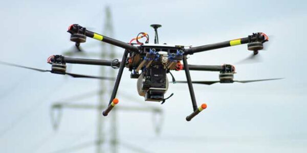
• Sign in
  • |
  • Contact us

Home Drone Payload

Choose your language

  • Deutsch
  • English

Tag: Drone Payload

Geospatial

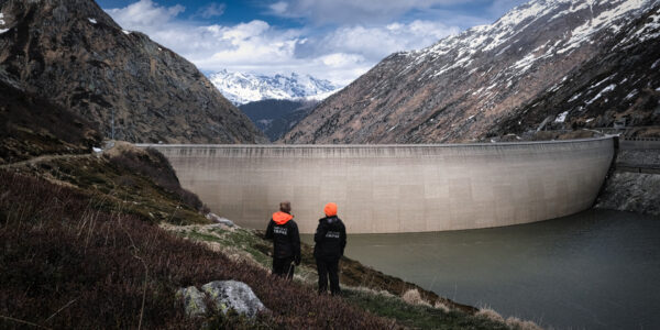
Dam Fine Data: Sub-millimeter-resolution UAV Dam Surveys by Orthodrone

Geospatial

Phase One Selects Globe Flight as Sales Partner for Drone Solutions in Germany and Austria

Press Release

Phase One ernennt Globe Flight GmbH als Vertriebspartner für Drohnenlösungen in Deutschland und Österreich

Remote Vision | Phase One Technology Alliance
Press Release

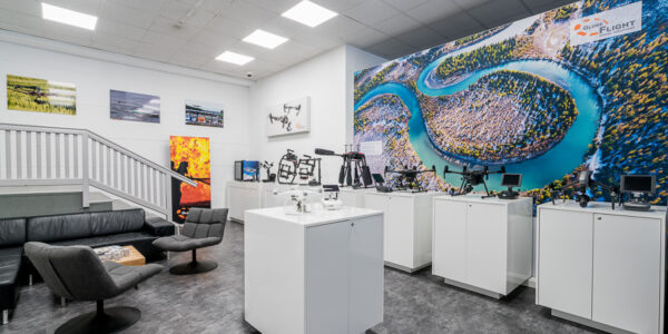
Remote Vision Named as Swiss Reseller of Phase One Drone Payloads

Webinar - Next level field Phenotyping with Pheno-Inspect
Webinar

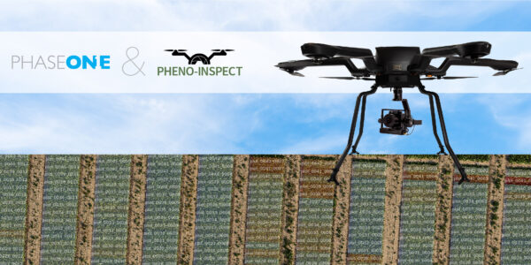
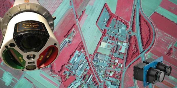
Next level field Phenotyping with Pheno-Inspect – Individual AI-based experts for plant analysis

Webinar

Innovative UAV solutions – from mapping, inspection and surveillance to wildfire monitoring and gas detection

Webinar

Cameras and LiDAR: What imaging options are best for my airborne survey business?

Webinar

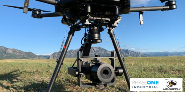
Industrial Applications Utilizing the Gremsy Gimbal & Phase One iXM Camera

Precise 3D Bridge Inspection Analysis Using Eyefly Tech
Geospatial

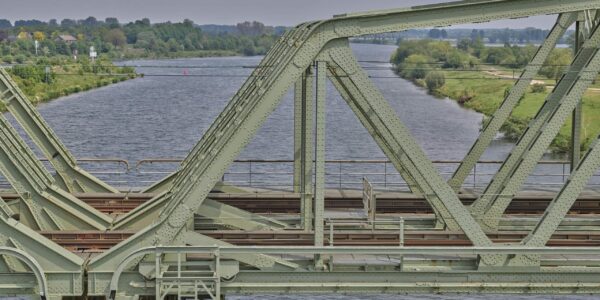
Eyefly – Achieve Close-to-1mm GSD with a Large Footprint for 3D Bridge Inspection

Phase One camera in action in inspecting at AM/NS Calvert steel mill
Geospatial

AM/NS Calvert – Acquiring Data in 70% Less Time with Phase One iXM-100 camera

  • Applications
  • Geospatial Imagery
  • Space
  • Heritage
  • Bespoke Photography
  • Solutions
  • Geospatial Solutions
  • Space solutions
  • Heritage Solutions
  • Photographic Cameras
  • Knowledge Hub
  • Case Studies
  • Upcoming Events, Webinars and Workshops
  • Inspiration
  • Press Releases
  • On-demand webinars and videos
  • Developer
  • Phase One Blogs
  • About
  • What Do We Stand For?
  • Life at Phase One
  • Find a Local Partner
  • Find a Rental Studio
  • Phase One Certified Professional
  • Contact us
Newsletter sign up
  • Legal
  • Privacy Policy
  • Cookie Policy
  • Terms and Conditions
© Phase One 2025
  • Legal
  • Privacy Policy
  • Cookie Policy
  • Terms and Conditions