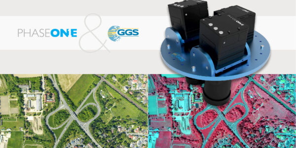
Innovative UAV solutions – from mapping, inspection and surveillance to wildfire monitoring and gas detection
Tune in to hear Steve Cooper and Mathias Motz discuss the year that was 2020! and what you may see in 2021 from the Phase One Geospatial Team.
The webinar will cover:
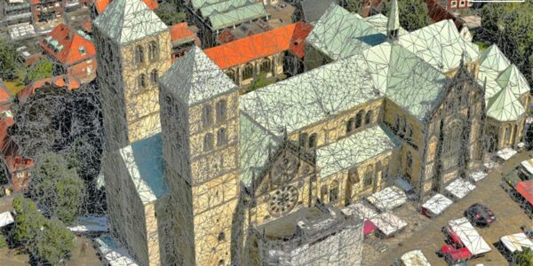
- Introduction to GGS UAV solutions AeroSpector/AeroSpector
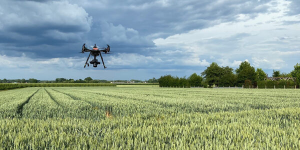
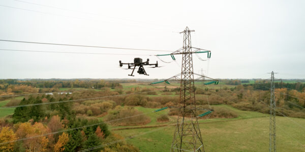
- Single camera solutions for (corridor) mapping and inspection purposes (eg. Railway/Powerline Inspections)
- Combined, multi-sensor applications (multi-camera, thermal and Lidar sensor)
- Smart Gimbal Strategies
- Additional applications: Wildfire monitoring & gas detection
- Processes: Mission planning to data analysis
Thu 12.03.2020
Time: 8:00 AM – 9:00 AM MDT
Time: 16:00 PM – 17:00 PM CET
Host/Presenter:
Carsten Wieser,
Phase One
Dr. Gerhard Kemper,
GGS GmbH – Geotechnology, Geoinformatics & Services