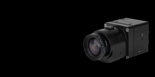
• Sign in
  • |
  • Contact us

Home Mapping

Choose your language

  • Deutsch
  • English

Tag: Mapping

Geospatial Camera User Manuals
Geospatial Blog

Part Two of: Taking Off – our pre-flight checklist for aerial mapping as the season takes off

Press Release

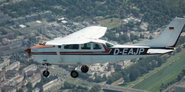
Carbonix, RIEGL, Phase One announce first fixed-wing VTOL integration of long-range dual sensor system

Geospatial Blog

Insights and future trends at Geo Week 2024

Press Release

Phase One Appoints HALG | Hindustan Assistant & Logistic Group as Official Technical Partner in India to Enhance Local Support and Engagement

Press Release

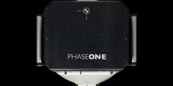
Phase One Introduces PAS Pana at InterGeo 2023: The Most Effective Wide Area Camera for Aerial Mapping

Advanced geospatial solutions offered at Phase One Denver facility
Press Release

Phase One announces New Calibration Lab and Geospatial Center of Excellence in Denver

Geospatial

Using aerial oblique images combined with close range UAV (uncrewed aerial vehicles) based data

Webinar_SimActive
Webinar

How to use metric cameras for accurate mapping

GGS Webinar
Webinar

An overview of 20 years of Phase One aerial surveying sensor integration by GGS

Webinar

Advancing Aerial Surveying and Professional Photogrammetry Mapping – IGI & Phase One

  • Applications
  • Geospatial Imagery
  • Space
  • Heritage
  • Bespoke Photography
  • Solutions
  • Geospatial Solutions
  • Space solutions
  • Heritage Solutions
  • Photographic Cameras
  • Knowledge Hub
  • Case Studies
  • Upcoming Events, Webinars and Workshops
  • Inspiration
  • Press Releases
  • On-demand webinars and videos
  • Developer
  • Phase One Blogs
  • About
  • What Do We Stand For?
  • Life at Phase One
  • Find a Local Partner
  • Find a Rental Studio
  • Phase One Certified Professional
  • Contact us
Newsletter sign up
  • Legal
  • Privacy Policy
  • Cookie Policy
  • Terms and Conditions
© Phase One 2025
  • Legal
  • Privacy Policy
  • Cookie Policy
  • Terms and Conditions