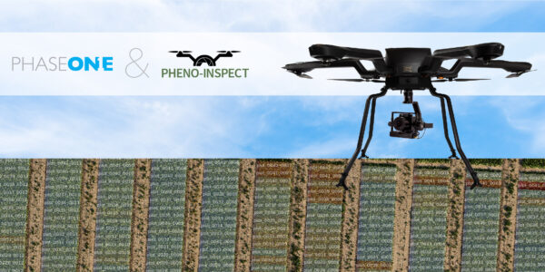
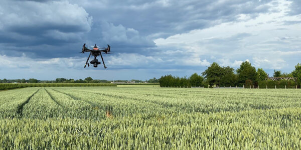
Bridging Processes using Phase One Imagery for Agricultural Analysis
See How Paris Geospatial uses Phase One Imagery to determine Analysis criteria for multiple Crops.
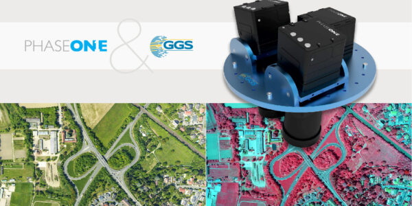
Prior to Phase One imagery, satellite imagery was used but not effective in identifying the analysis criteria necessary for wise Agricultural decisions to promote healthy growth. (Satellite imagery can produce results applied to an entire crop, where Phase One Imagery can produce results related to the individual plants of the crop. – This is a key benefit for Precision Agriculture)
Some of the indicators for healthy plant growth that can be accurately derived from Phase One imagery and other software processes:
- Brightness Index (BI): Useful for soil mapping when vegetation is not present or is only sparse.
- Vegetation Vigor Index (VVI): Is used like NDVI is used; however, VVI is a soil adjusted vegetation index (not affected by darker and brighter soils behind the vegetation — like NDVI is affected). Also, VVI has extended sensitivity at the top of the vigor scale and can be used to identify individual trees (sunlit side of each tree).
- Leaf Pigmentation Index (LPI): Usually serves as an indicator of Leaf Chlorophyll Concentration (LCC) for pixels where the VVI values indicate the presence of moderately-dense to very dense vegetation..
Wed 25.09.2019
Time: 8:00 AM – 9:00 AM MDT
Host/Presenter:
Dana Brown,
Sales Manager, Phase One Industrial
dbr@phaseone.com