Home Agriculture
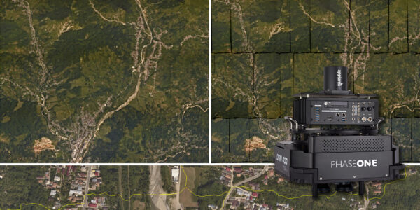
Trimble Inpho – High class photogrammetry with aerial imagery from PAS 280
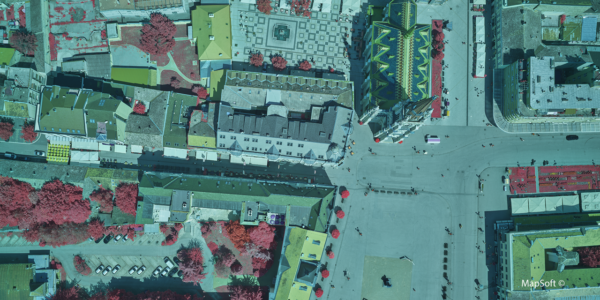
MapSoft – Multi-sensor Aerial System Improves Urban Development
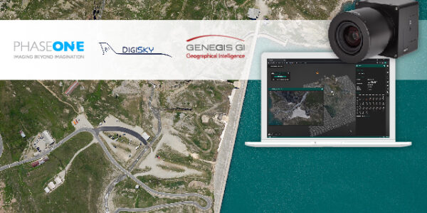
How Digital-Twins of Hydro-power Dams support Plant Operations
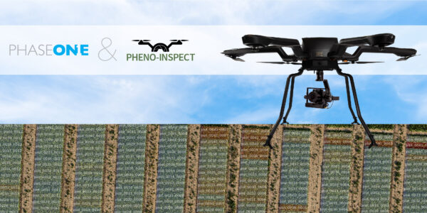
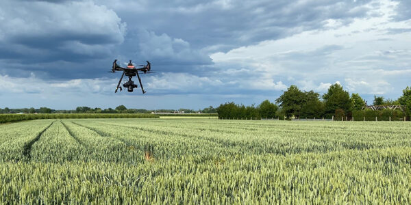
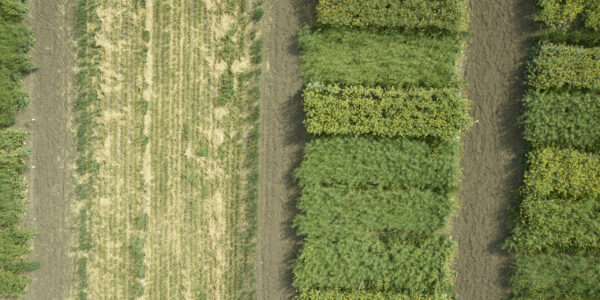
Next level field Phenotyping with Pheno-Inspect – Individual AI-based experts for plant analysis
Using Drones and AI for High Throughput Phenotyping in Experimental Fields
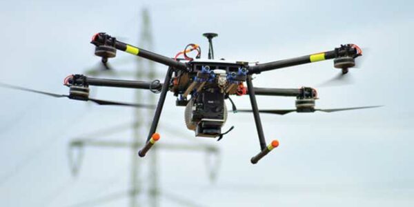
Innovative UAV solutions – from mapping, inspection and surveillance to wildfire monitoring and gas detection
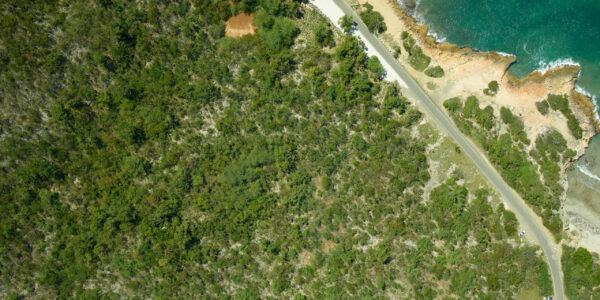
NASA G-LiHT – High-Resolution, Multi-sensor Data to Characterize Puerto Rican Forests
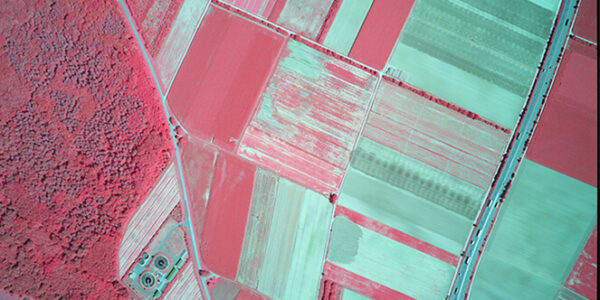
Bridging Processes using Phase One Imagery for Agricultural Analysis
Making Agricultural Management Decisions with the Phase One 4-Band Aerial System
Draganfly – Advances Aerial Drone Data Collection