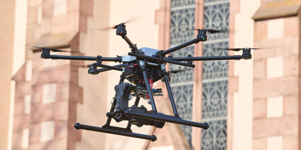
• Sign in
  • |
  • Contact us

Home UAV

Choose your language

  • Deutsch
  • English

Tag: UAV

Press Release

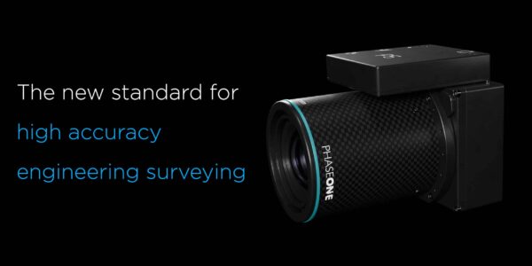
Phase One, Quantum Systems and Trimble unveil groundbreaking survey grade UAV solution with the launch of Phase One P5 camera

drone powerline inspection
Geospatial

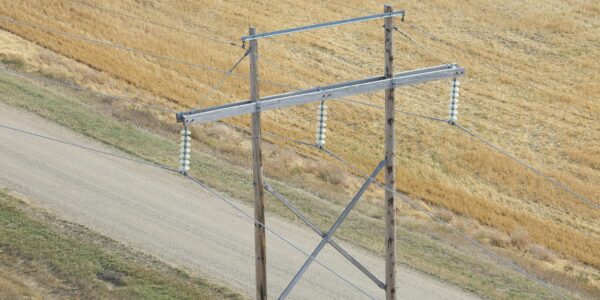
SkySkopes – New Imaging Technology Makes Power Line Inspections Quicker and Easier

Webinar - Next level field Phenotyping with Pheno-Inspect
Webinar

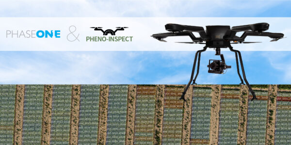
Next level field Phenotyping with Pheno-Inspect – Individual AI-based experts for plant analysis

Phase One Webinar Drones and AI
Webinar

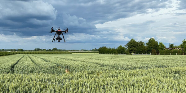
Using Drones and AI for High Throughput Phenotyping in Experimental Fields

Webinar

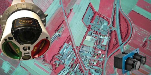
Cameras and LiDAR: What imaging options are best for my airborne survey business?

Webinar

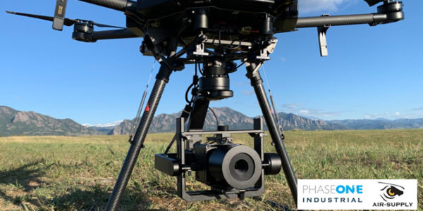
Industrial Applications Utilizing the Gremsy Gimbal & Phase One iXM Camera

Precise 3D Bridge Inspection Analysis Using Eyefly Tech
Geospatial

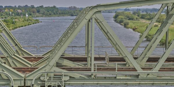
Eyefly – Achieve Close-to-1mm GSD with a Large Footprint for 3D Bridge Inspection

Altair Multisensor 3D Mapping Imagery Solution
Geospatial

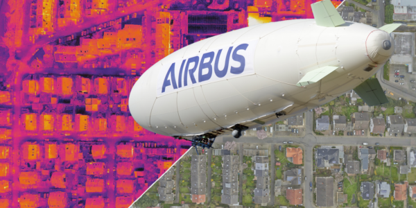
Airbus ALTAIR – A First for Large Scale High Definition 3D Mapping and 3D Mapping Solutions

Webinar

Why the Phase One iXM 100 is the ultimate UAV camera

Webinar

Inspection of Infrastructure using Phase One medium format cameras

  • Applications
  • Geospatial Imagery
  • Space
  • Heritage
  • Bespoke Photography
  • Solutions
  • Geospatial Solutions
  • Space solutions
  • Heritage Solutions
  • Photographic Cameras
  • Knowledge Hub
  • Case Studies
  • Upcoming Events, Webinars and Workshops
  • Inspiration
  • Press Releases
  • On-demand webinars and videos
  • Developer
  • Phase One Blogs
  • About
  • What Do We Stand For?
  • Life at Phase One
  • Find a Local Partner
  • Find a Rental Studio
  • Phase One Certified Professional
  • Contact us
Newsletter sign up
  • Legal
  • Privacy Policy
  • Cookie Policy
  • Terms and Conditions
© Phase One 2025
  • Legal
  • Privacy Policy
  • Cookie Policy
  • Terms and Conditions