Inspecting Transmission Lines at 60mph
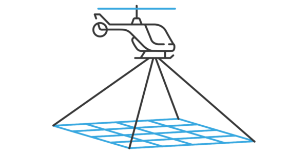
Capturing high-resolution imagery efficiently and safely from a helicopter is difficult, but SkySkopes has implemented a perfect install onto a Bell 407 to be able to conduct the 174-mile project in just two days. The project consisted of high-resolution data acquisition through airborne image data, with the use of a medium format digital camera.
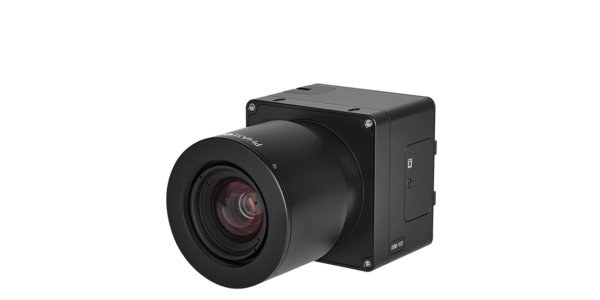
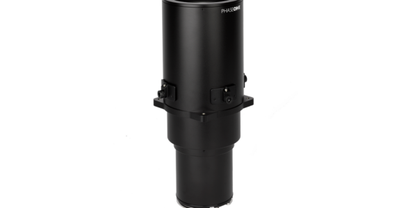
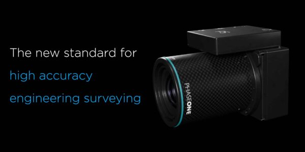
SkySkopes, a professional data collection company that creates innovative solutions for the energy industry, uses a solution integrated by GSS (Gyro Stabilized Systems), which consists of a Phase One 100MP camera with a 300mm motorized lens and the GSS gyro-stabilized gimbal system.
The aerial solution provides a portable airborne imaging system for their helicopter that can do everything they require from the camera, from inside the cabin
Image: HELICOPTER with PhASE ONE CAMERA MOUNTED ON THE FRONT – SKYSKOPES 2021 ©
Our customer was surprised we could get this quality of imagery from a helicopter. Integrating such a powerful camera onto a helicopter gimbal provides end-users incredible data without sacrificing efficiency
The Transmission Line Project
SkySkopes utilizes helicopter, drone, and mobile platforms that are equipped with cutting edge sensor solutions and is able to provide sharp, high-resolution imagery, bringing a unique solution that can provide tangible data safely and efficiently.
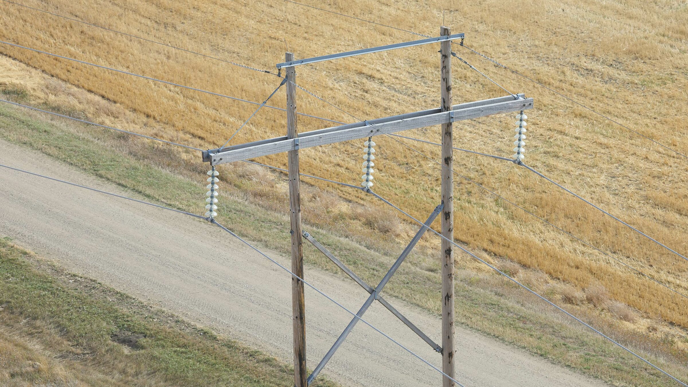
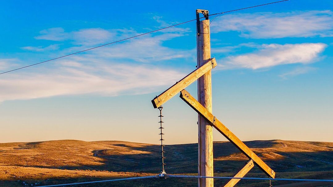
The imagery allows the customer to get valuable information on each structure like broken insulators. The imagery is now collected in a fraction of the time to similar projects utilizing traditional drone technology.
Transmission lines were recently constructed in the Midwest, and the electric utility wanted to get a baseline of the health of their assets to see if any early problems are emerging.
Phase One’s iXM-100 has proven to be a great asset for transmission inspection projects and the 300mm lens allows for a safe and fast helicopter flight profile without sacrificing quality.

Increased Productivity and Results
One of the challenges that needed to be overcome was how to efficiently collect imagery with enough detail to identify discrepancies on each asset.
As scattered cloud layers quickly changed lighting conditions, SkySkopes personnel had to use IX Capture to quickly change the ISO and shutter speed to maintain a consistent exposure.
To be able to get the sharpest image of each asset the team would set the focus distance based on the camera’s slant range distance, then would take test images and readjust focus from there.
A Change in the Future of Aerial Imagery
A great benefit for SkySkopes is the high-quality lens combined with the high resolution of the Phase One camera, along with the incredible stabilization from the GSS gimbal. It allows the team to capture 85 miles of transmission line imagery in a single day while taking four images per structure. Another benefit is the ability to see fine details on the structures while flying 750 feet from the electrical transmission towers at approximately 60mph.
The efficiency of being able to document the state of an asset through a few images at an unprecedented speed makes this inspection method accessible to more electric utilities.

Geospatial
Preventing Wild Bushfires By Mapping Planned Burns

Geospatial
Novice Aerial Photographer Becomes Advanced Mapping Provider
Geospatial
Inspecting Wind Turbine Blades While They Are Rotating
Geospatial
Precision at Altitude: Redefining Aerial Mapping with the PAS 880 Oblique Camera System
Geospatial
Perfecting telescope dish accuracy with UAV photogrammetry

Geospatial
Saving costs while lowering carbon footprint: Innovative aerial surveying service uses small airplanes enabled by compact cameras
Geospatial
Detecting forest tree diseases using a large-format camera on an ultralight aircraft
Geospatial
Mapping lava flows during volcanic eruptions in Iceland
Geospatial
The PAS Pana: a 48,800-pixel camera innovated with our customer Surdex

Geospatial
Rebuilding after Hawaii’s wildfire with engineering-grade surveying
Geospatial
Revolutionizing Slovenian urban planning: Phase One’s PAS 880i redefines reality mapping
Geospatial
Imaging solutions combined with AI and 5G – A new approach and promising to assess forest health and detect and monitor wildfires
Geospatial
Phase One Cameras combined with light, fixed-wing aircraft deliver highly efficient LiDAR and mapping missions
Geospatial
Capturing Glastonbury Festival
Geospatial
Breaking barriers to offshore wind energy development
