Down Under Data: How Geospatial Data Transforms Australia’s Economy

Australia, the sixth-largest country in the world by land area, is home to the Great Barrier Reef, the largest coral reef system on the planet and one of the 7 wonders of the world. With a population of approximately 26 million people, with most living in urban areas along the coast, Australia is one of the world’s largest exporters of natural resources, including coal, iron ore and gold.
Geospatial data, which includes any data related to locations on the Earth’s surface, is revolutionizing various sectors across the globe. According to the Preliminary Findings report of Geospatial Council of Australia, a country characterized by its vast and diverse landscapes, the impact of geospatial services to the economy has increased from A$9 billion GDP in 2007/08 to $39 billion GDP with A$6.3 billion in consumer benefits. The projected impact in 2033/34 is expected to A$81 billion GDP with doubled additional 22,000 FTEs and A$7.7 billion consumer benefits. This post explores how geospatial data, including the role of photogrammetry, is transforming industries, driving economic growth and supporting environmental sustainability in Australia.
Growth needs change, change should be managed
One of the most significant applications of geospatial data in Australia is in urban planning and development. Cities like Sydney, Melbourne and Brisbane are experiencing rapid growth, necessitating efficient and sustainable urban planning solutions. Geospatial data provides urban planners with detailed insights into land use, population density, infrastructure development and environmental factors. This data is essential for designing smart cities that are not only liveable but also resilient to future challenges such as climate change and population growth.
Urban renewal projects
In cities like Melbourne and Sydney, geospatial data has been instrumental in urban renewal projects. The cities use advanced Geographic Information Systems (GIS) to analyse spatial data, which helps in optimizing land use, improving public transportation networks and enhancing green spaces. This approach ensures that urban development projects are both sustainable and aligned with the needs of the community.

Agricultural productivity and sustainable forestry
Due to the significant role of the agriculture sector in Australia’s economy, the impact of geospatial data in acquiring continuous and high accuracy data for precision farming is significant. It helps farmers maximize crop yields while minimizing environmental impact. Especially in the vast outback regions, where traditional farming methods are challenging, precision agriculture and advanced water management powered by geospatial data plays a game-changing role. This data-driven approach leads to better decision-making, reduced waste and increased productivity.

Supporting environmental conservation
Australia’s unique ecosystems and biodiversity are under constant threat from human activities and climate change. Geospatial data plays a critical role in environmental conservation efforts by providing detailed and timely information about land use changes, deforestation, wildlife and habitat loss.

Enhancing disaster management and response
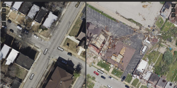
Australia is no stranger to natural disasters, including bushfires, floods and cyclones. Geospatial data is indispensable in disaster management, providing real-time information that aids in preparedness, response and recovery efforts.
The devastating bushfires of recent years have highlighted the importance of geospatial data in disaster response. During the 2019-2020 bushfire season, geospatial technologies were used to map fire perimeters, predict fire behavior and coordinate evacuation efforts. This data not only helped save lives but also provided critical insights for rebuilding and future fire prevention strategies, as well as recovery of wildlife and ecosystem in the burned areas.
Transforming key industries
Mining
According to the Resources and Energy Quarterly (REQ) report of 2023, with approximately A$450 billion revenue per year, Australia’s economy relies on export of its natural resources, such as iron ore, coal, gold, LNG and base metals. Australia’s mining sector is heavily reliant on geospatial data for exploration, operations and safety management. Geospatial technologies enable miners to identify mineral deposits, plan extraction processes and monitor environmental impacts.
Transportation and navigation
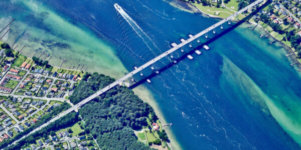
Geospatial data enhances transportation systems by improving route planning, traffic management and infrastructure maintenance. For instance, smart transportation networks in Sydney utilize geospatial data to reduce congestion and improve public transit efficiency.
Utilities
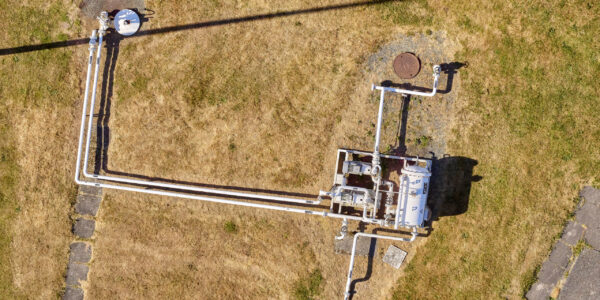
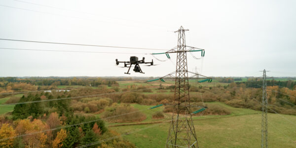
Utility companies use geospatial data for asset management, maintenance and service delivery. Accurate mapping of utility networks helps in monitoring infrastructure, predicting failures and optimizing repairs.

Driving economic growth and innovation
Geospatial data is also a catalyst for economic growth and innovation in Australia. The geospatial industry itself is a burgeoning sector, contributing significantly to the economy through job creation and technological advancements.
Share this on social media:
