How Phase One Cameras are Shaping Urban, Agricultural, and Environmental Landscapes
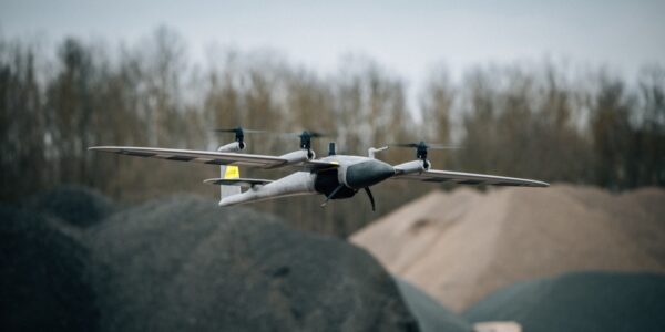
In the world of aerial mapping and surveying, quality, precision and reliability are key. Phase One cameras have become the go-to solution for professionals across industries, from geospatial data collection to urban planning and environmental monitoring. Known for their high-resolution, unmatched image quality, and durability, these cameras are transforming how we capture reality and interpret the world.
In this blog, we’ll explore the various mapping applications where Phase One cameras excel—whether it’s in topographic mapping, corridor mapping, or 3D modeling—and how they help professionals achieve more accurate, efficient, and insightful results. Please click on the links to read more about the related cases studies to our imaging solutions.
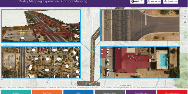
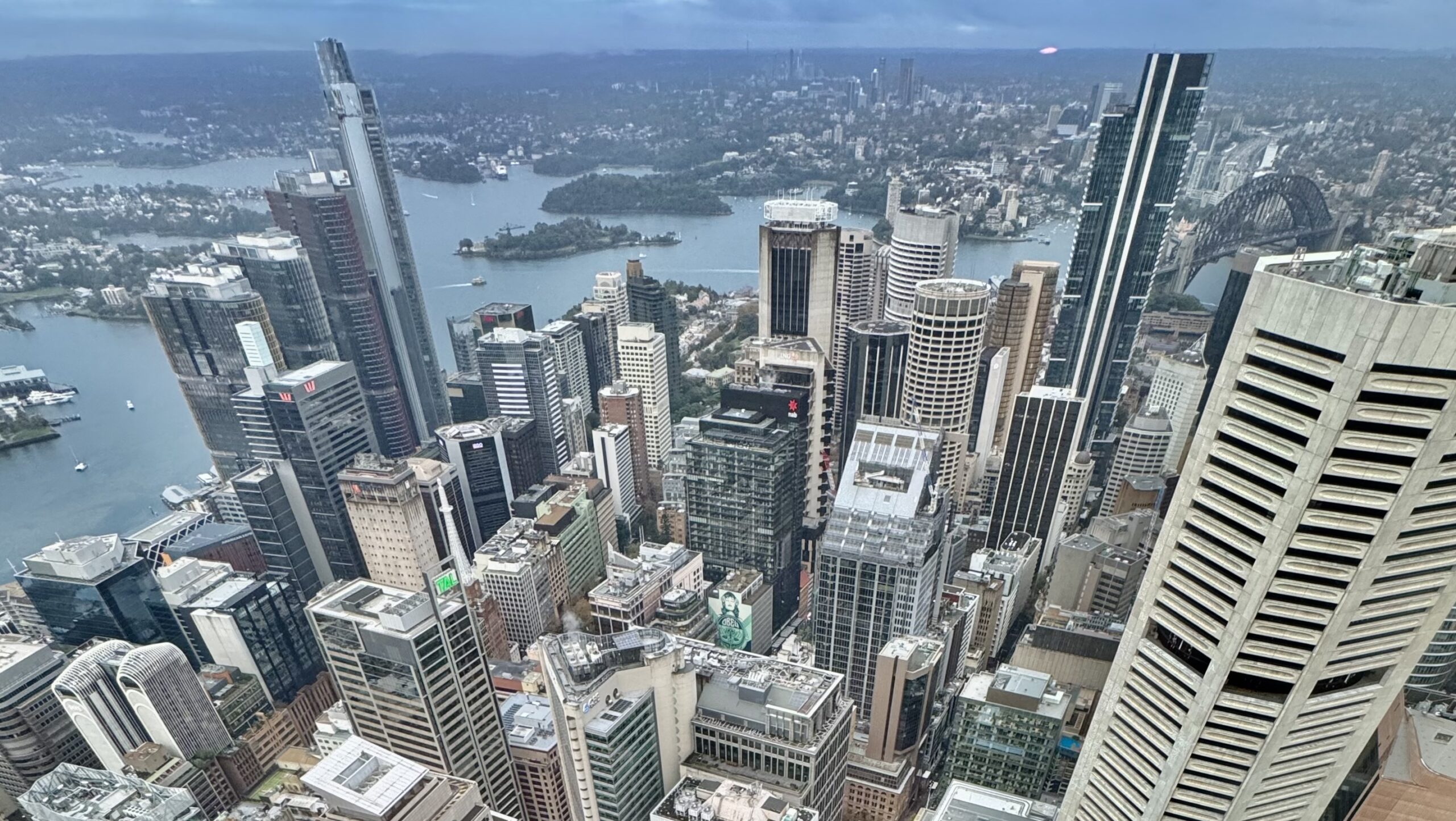
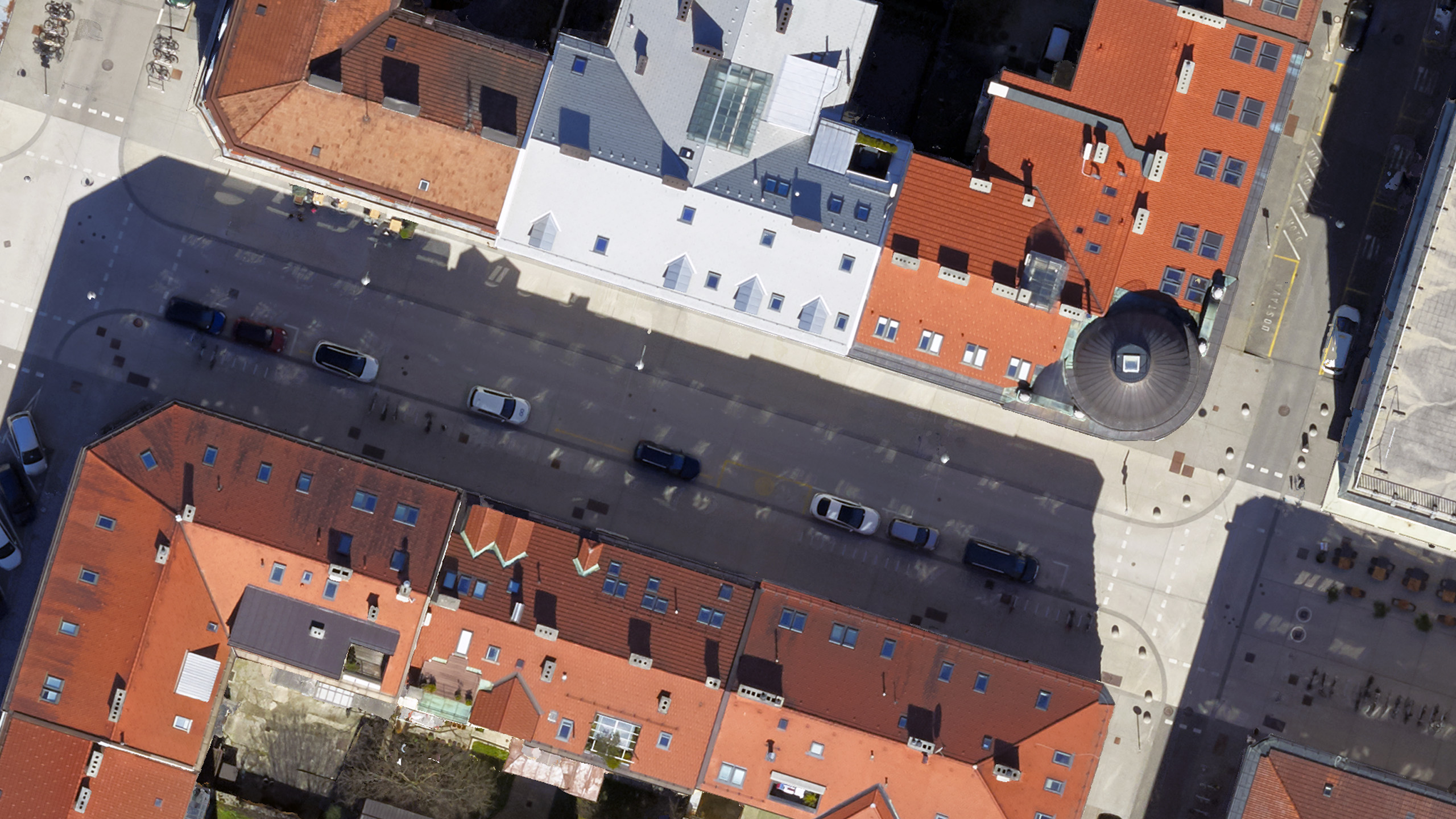
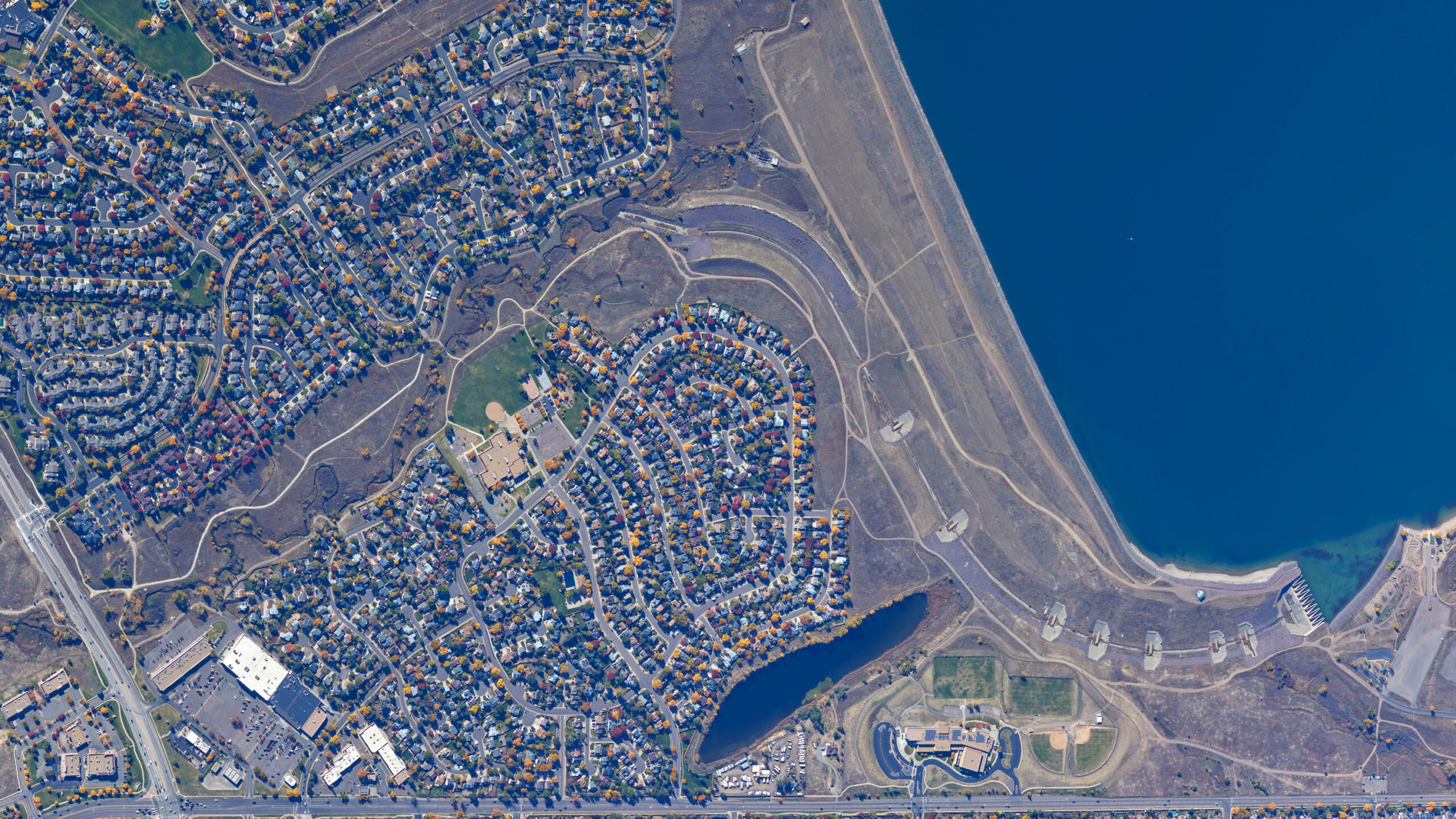
Urban renewal projects
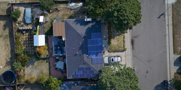
High accuracy aerial imagery plays a crucial role in urban planning. By creating accurate 3D models of buildings and landscapes, photogrammetry helps planners visualize and analyze spatial relationships and changes over time. This technology is used to map out urban areas in detail, aiding in everything from infrastructure development to heritage preservation.
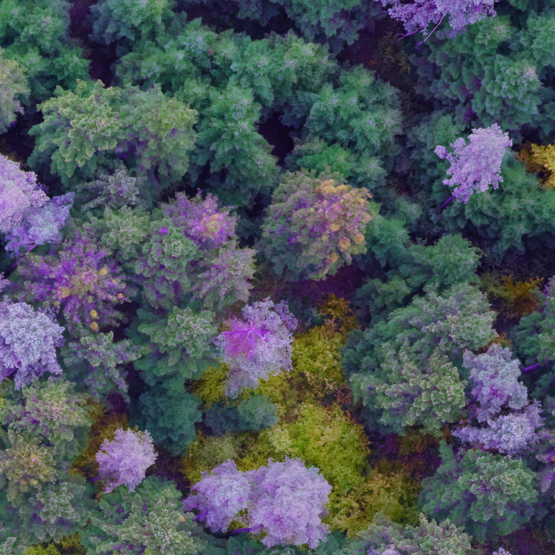
Agricultural productivity and sustainable forestry
High resolution aerial imagery can be used to monitor crop health, plan irrigation systems, and detect pest infestations early. This technology allows for the creation of high-accuracy maps that farmers can use to implement site-specific management practices, leading to more efficient and sustainable agricultural operations, from regional to country-wide project like Natural Agricultural Imaging Program (NAIP) in the USA.
By sustainable forest management strategies, the forestry sector benefits from combination of continuous and high accuracy image-based data with GIS, to monitor forest health, plan logging activities, and assess reforestation efforts.
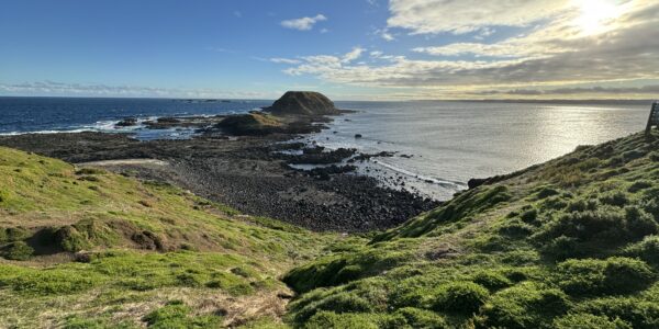
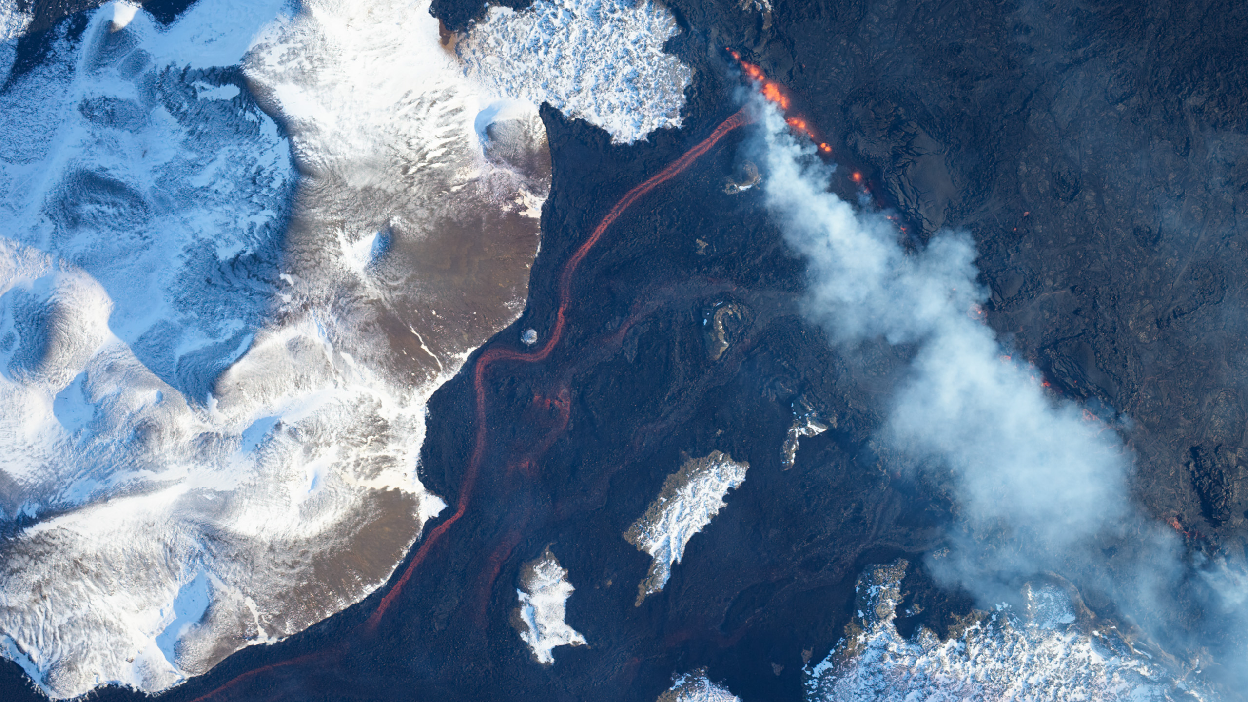
Supporting environmental conservation
Advanced environmental monitoring can be implemented by providing precise and up-to-date imagery of natural landscapes. Through photogrammetry 2D images and 3D models, environmental protection institutions can monitor coastal erosion, track changes in vegetation cover, and assess the impact of natural disasters.
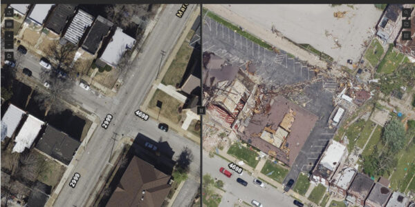
Enhancing disaster management and response
Image based data is used to create high resolution orthophoto in 4 band channels (RGB and NIR) and models of fire-affected areas.
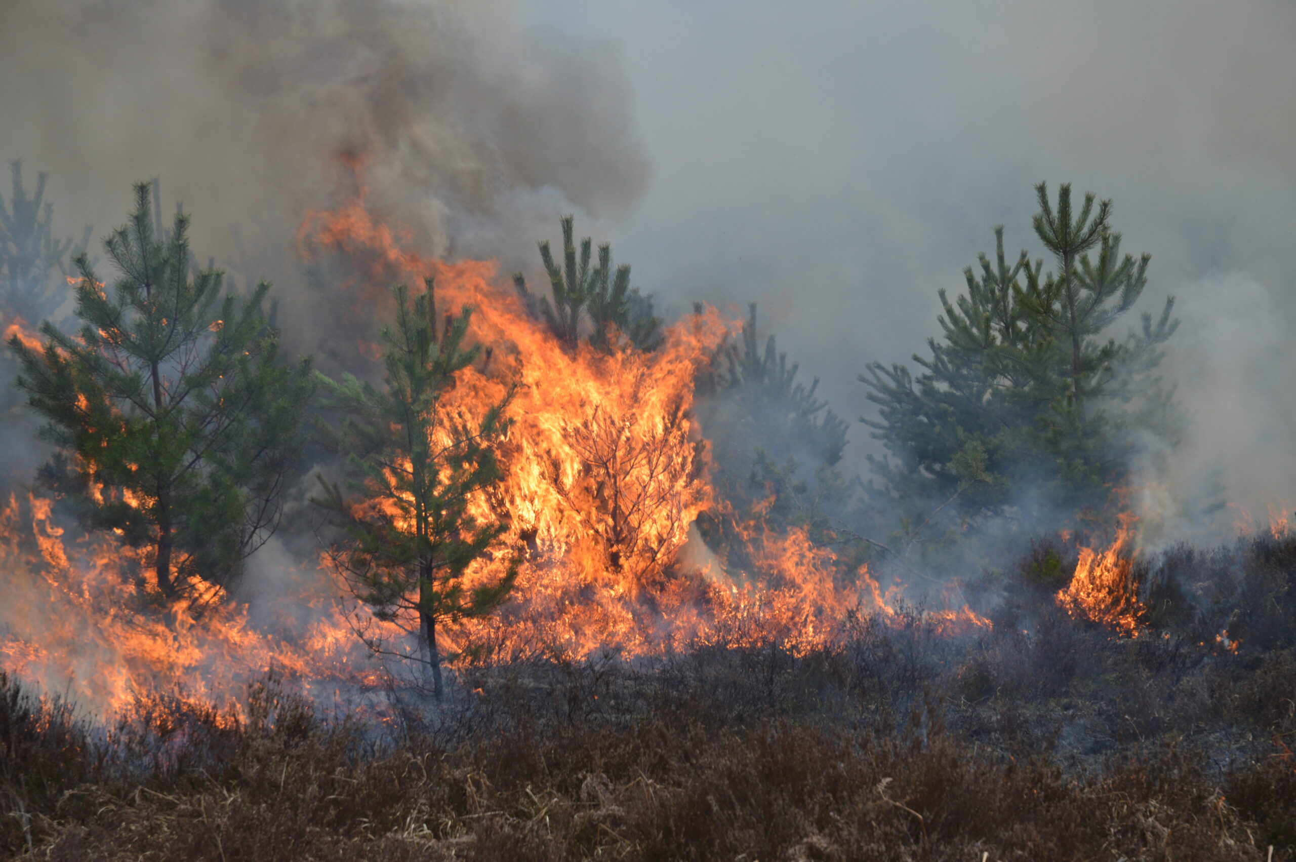
These maps help emergency responders assess damage, plan rescue operations, and allocate resources more effectively. After disasters, photogrammetry can also be used to monitor recovery efforts and ensure that rebuilding efforts are proceeding as planned.

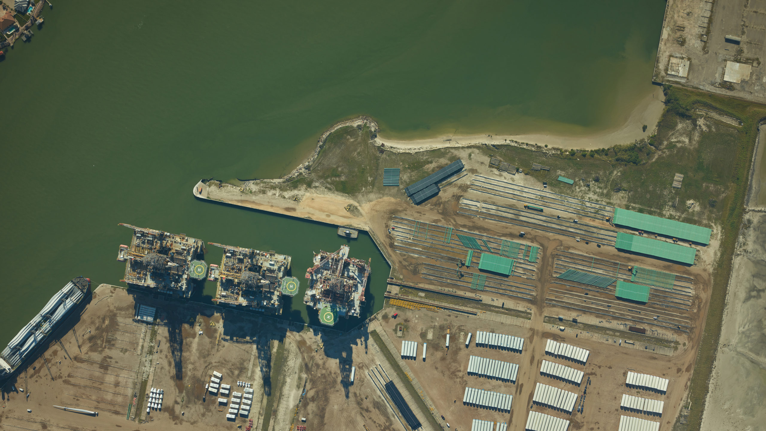
Transforming key industries
Mining
In mining, large-area photogrammetry is used to estimate and identify the possible location of natural resources, which can be combined with Geoinformation Systems GIS) results. Higher accuracy imagery data, based on drone imagery, can be used to create accurate topographic maps and 3D models of mining sites. These models help in planning mining operations, monitoring changes in terrain, and ensuring compliance with environmental regulations.
Construction
High quality imagery provides precise inspection of structures, as well as detailed 3D models of construction sites, which are used for planning, monitoring progress, and ensuring accuracy in such projects. Precisely acquired images assists site managers in identifying potential issues, calculating volumes, reducing costs, and improving project outcomes.
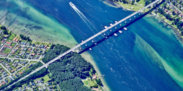
Transportation and navigation
Besides the importance of high accuracy positioning, image-based information supports logistics, supply chain management, and site selection. By integrating geospatial information, manufacturers can streamline operations and enhance distribution efficiency.
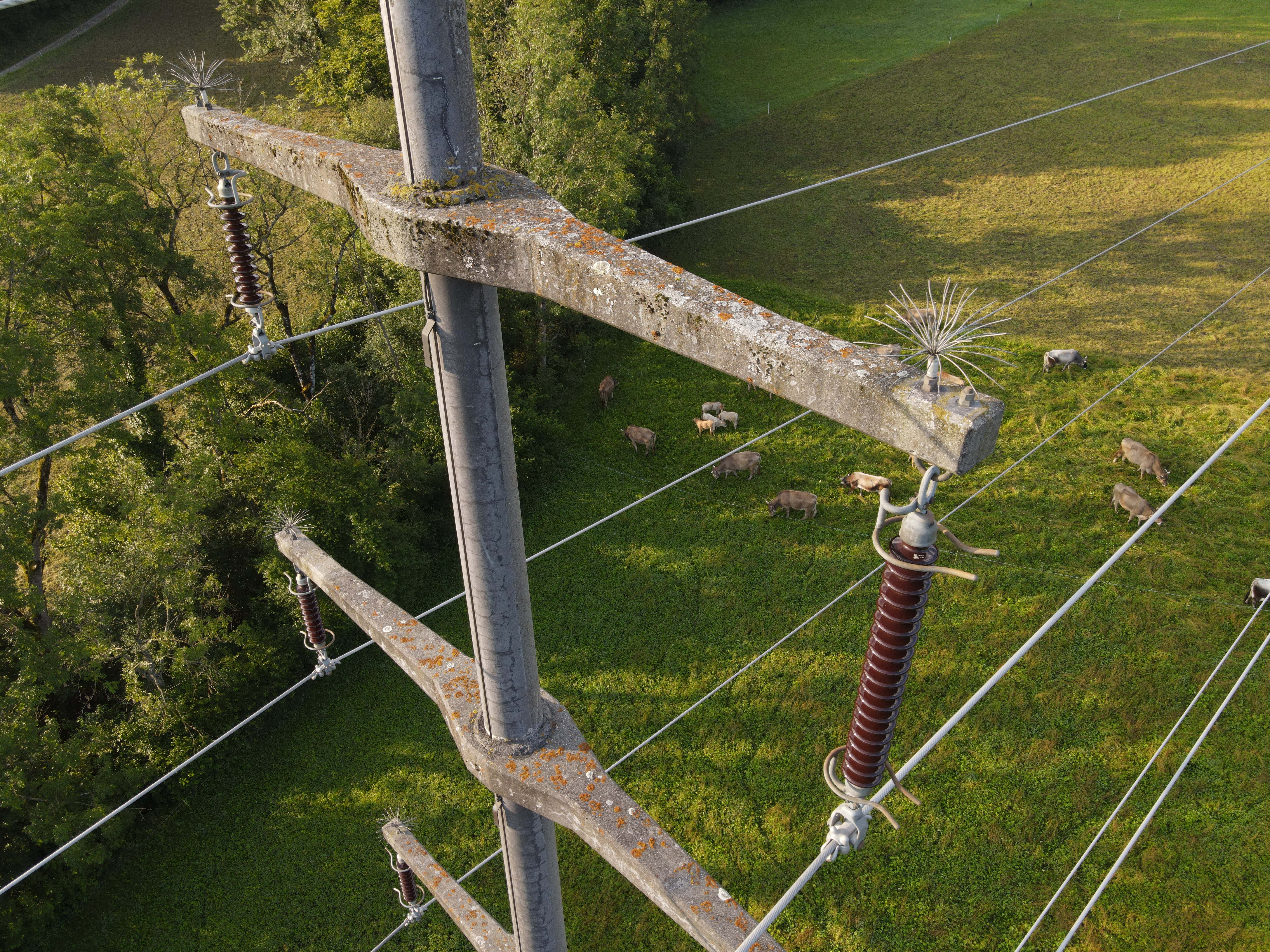
Utility
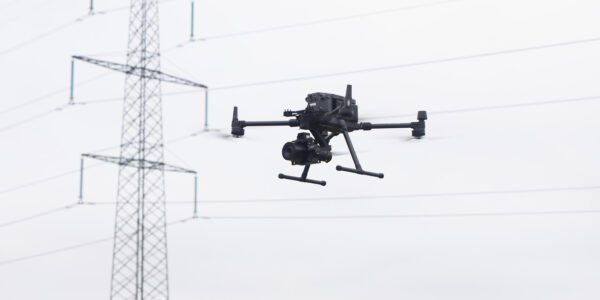
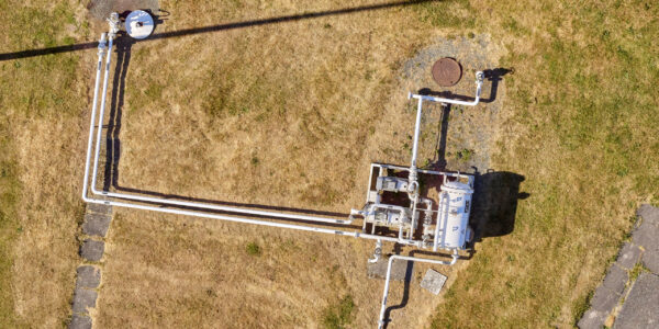
Image-based data is used to inspect utility assets, create detailed maps of utility networks, including power lines, pipelines, and water systems. These maps help in the efficient management of assets, detecting issues early, and planning maintenance activities.
If you are interested in reading more about Phase One imaging solutions, please dive into this page here, and search for case studies based on your business segment and applications.
Share this on social media: