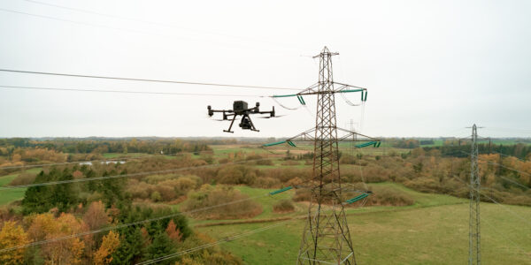
The P5 story: How we created a revolutionary UAV surveying solution
Until now, a solution like this has not been available. Metrically calibrated, high-accuracy cameras have traditionally been too large and heavy for small UAVs. As a result, surveyors have been hesitant to use UAVs, often restricting their use to less critical or small projects.
With advancements in automating data analysis and processing, achieving true-grade surveying accuracy has become even more important. The time is ripe to revolutionize UAV surveying with a new generation of data gathering and analysis technology.
Surveyors’ needs must come first
Throughout the rapid increase in UAV ubiquity during the 2010s, drones were quickly adopted by the geospatial world for their easy and expansive coverage. Since then, they have proven fantastic tools for mapping, topography surveys, and for forestry and agriculture.
With the great UAV boom and its exciting disruption of existing methodologies came great exuberance about potential applications. More commercial drone companies overpromised a new, catch-all surveying tool which then failed to meet the exacting demands of surveyors in the real-world.
With no suitable specialized camera systems for this emerging market niche, new UAVs were initially equipped with cameras coming from the consumer photography market. While these cameras are great for capturing nice-looking-images they are not optimized for repeatable accuracy, which is the fundamental aspect when doing aerial surveying.
The images typically lack the corner-to-corner sharpness and geometric accuracy of a purpose-built metric camera, which are essential for several reasons.
- Precision and detail are crucial in capturing every part of the surveyed area accurately, enabling precise measurements and reliable analysis.
- Geometric accuracy ensures consistent and reliable mapping and modeling, as distortions can lead to significant errors in data interpretation.
- Consistent sharpness across the image prevents misrepresentation or oversight of any part of the area, providing a comprehensive view.
Ultimately, high-quality images with accurate geometry are critical for producing reliable data, which is necessary for effective decision-making and planning in various applications, such as construction, and environmental monitoring. Lacking a complete understanding of the true requirements of high-accuracy applications, drone companies marketed their systems even to geospatial clients who do require high-grade accuracy, leaving them extremely disappointed with the actual performance.
So, we specifically designed Phase One P5 to address and overcome these challenges, empowering surveyors to confidently use the full potential of UAVs in their practice.
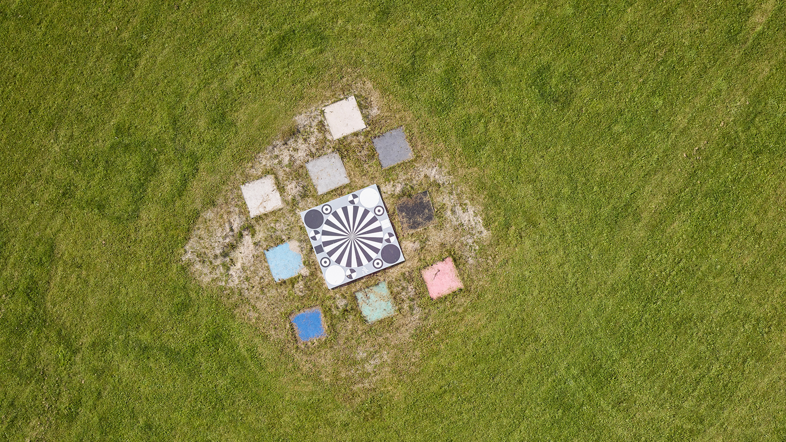
From surveying with aircrafts to survey grade data accuracy with UAVs
After over a decade of experience with building dedicated cameras for exacting mapping applications, we knew we had the technology to capture image data of the quality and more importantly with accuracy needed for UAV surveying.
Yet, to suit non-expert UAV pilots, we needed partners who could help provide a full surveying solution: one that should be as easy to use as possible from the very first flight, through data analysis, and all the way to presentation of the results.
Quantum Systems for UAV platform
With the need of surveyors in mind, we, at Phase One, scouted out our UAV platform options in the market. We were looking at a platform and partner that could perform long flights of both corridors and land surveying at high speeds and who from day 1 could service our global customer base.
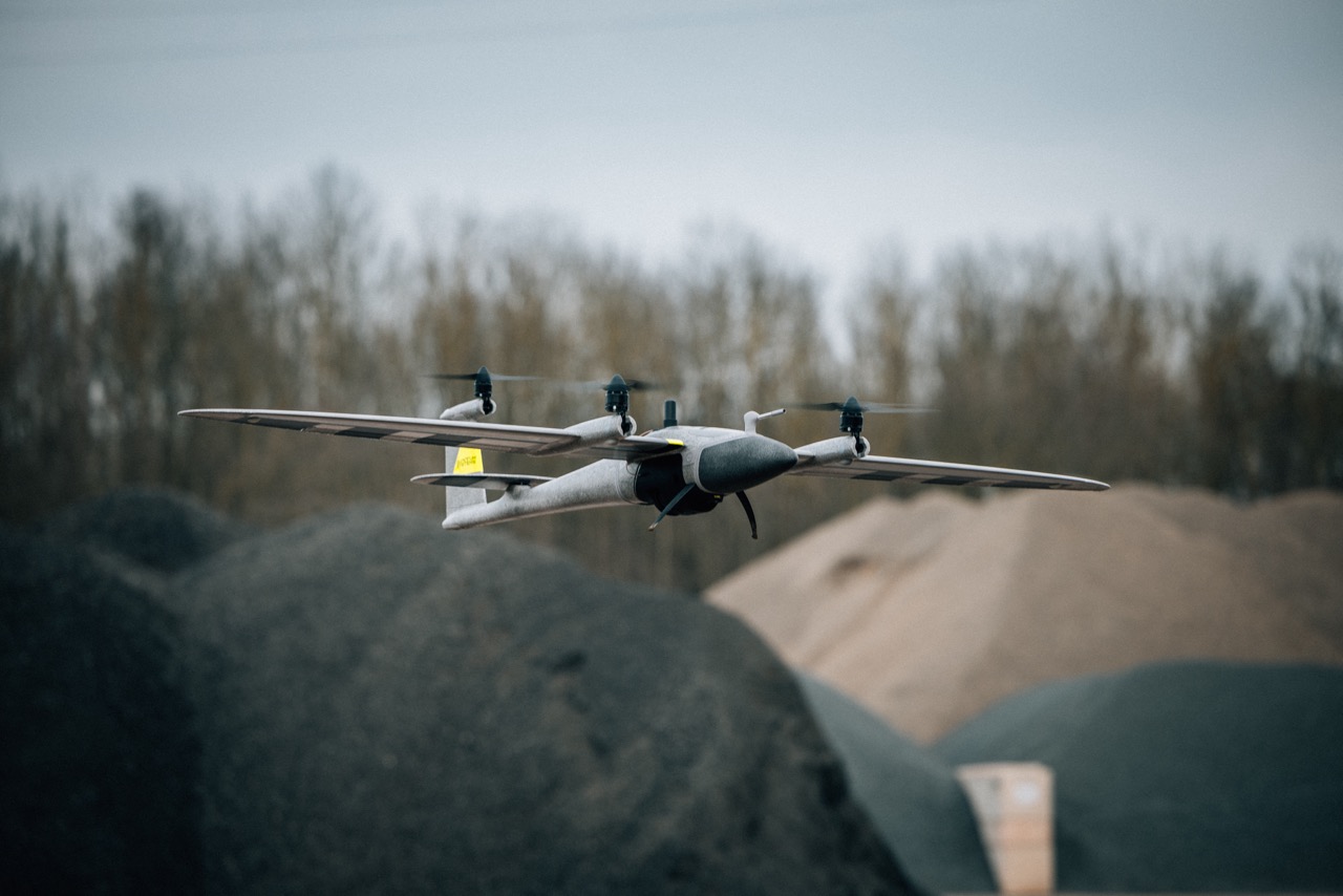
When Phase One presented the new project to Quantum Systems, they were already working on their new Trinity Pro platform – a new, fixed-wing drone – precisely aimed at the same industry segment: surveyors who are not skilled UAV operators, that are required to capture high accuracy data.
“Since 2010, I have always had customers asking for sub-centimeter accuracy, or even millimeter accuracy. Often this was just a wish, but for several applications it is a requirement,” explains Robert Leake, Head of Commercial Sales, at Quantum Systems.
The Trinity Pro is an eVTOL fixed-wing drone that outperforms traditional multi-rotor systems. It combines vertical takeoff and landing capabilities with the flight efficiency and extended range of fixed-wing drones. This unique design allows for more extensive area coverage, longer flight times, and higher data capture efficiency per mission, compared to multi-rotor drones.
Equipped with cutting-edge technology, including the Quantum-Skynode autopilot and Linux mission computer, Trinity Pro offers enhanced connectivity, superior computing power, and AI capabilities. Its user-friendly QBase 3D software ensures safe, reliable, and straightforward operations, while built-in safety features and automatic self-diagnostics enhance operational security during every flight.
Trinity Pro is incredibly easy to use, featuring a modular system that allows for assembly in less than two minutes and requiring only one operator. Designed to perform in the most challenging environments, Trinity Pro delivers unparalleled versatility and reliability. With a proven track record of over 75,000 flight hours globally, it guarantees high uptime and maximized outcomes.
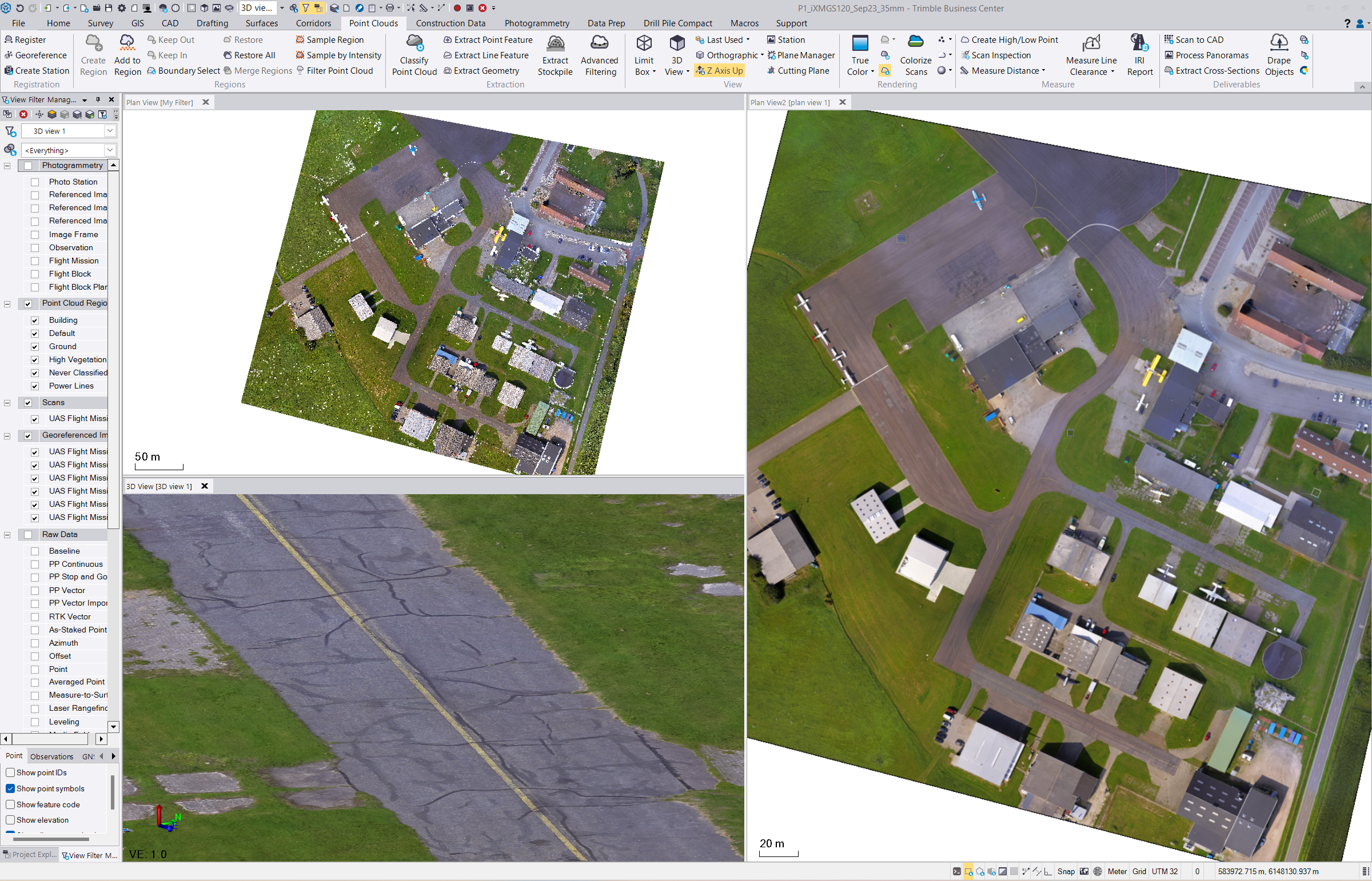
Data processing with Trimble Business Center survey CAD office software for a real purpose-built solution
To ensure our solution fully integrates with the existing workflow from surveying to data analysis to empower informed decision-making, we partnered with Trimble, a market leader renowned for its software with a simple workflow and state of the art hardware products for surveyors. For Trimble’s customers, integrating the new P5/Trinity Pro system allows surveyors to scale up their UAV hardware and enhance deliverable quality while maintaining their familiar processing workflows, point cloud classification, feature extraction tools, and all the other tools inside of TBC.
“The P5/Trinity Pro together with Trimble Business Center (TBC) enables our surveying and construction customers to complete high-precision aerial surveys for capturing original ground topography, describing as-built conditions, and completing detailed nadir structural inspections,” says Joe Blecha, Director of Product Marketing, in Trimble’s Field Systems’ sector.
Trimble’s involvement in the workflow integration of the P5/Trinity Pro was an opportunity to address the existing challenges in UAV surveying. “With the P5/Trinity Pro data in the TBC processing, there’s no trade-off between the highest quality UAV deliverables and simple surveyor-focused workflow. These two aspects have not always been achievable together,” explains Joe Blecha.
A generational leap from collaboration between leaders
By uniting the components needed to consistently obtain high-grade accuracy with large-scale drone applications, the development of the P5 has enabled a truly groundbreaking synergy.
The P5 brings unprecedented accuracy into a portable UAV. The Trinity Pro ensures excellent usability in the field and makes the UAV into a practical tool for the surveyor to map up to medium-sized areas at a high frequency. Trimble Business Center gives powerful data processing in a streamlined familiar workflow that ensures simplified operation.
Together, these technologies can make all the difference for surveyors in applications where accuracy is fundamental, giving them a scale that has never been so simple before. It is a true generational leap for large-scale drone surveying – a rare event in the drone industry where change is typically incremental year-on-year – meaning that projects that have been previously infeasible can at last become possible. What is more, it finally delivers on the promise that drone manufactures have long been making to the surveying industry.
Share this on social media:
