Highlights from the 2024 EAASI Summit in Athens
Athens in sunny autumn feels like stepping into a warm embrace of history and life. The golden light softens the city’s ancient stones, casting the Acropolis with a glow that feels almost alive. Leaves crunch underfoot in quiet gardens, and the air carries the comforting scent of roasted chestnuts and fresh coffee. They call it Narangi (Νεραντζάκ), the shiny bitter oranges, which somehow remind one of preparing decorations for the Christmas tree.

There’s a timelessness here, where modern cafés hum with life just steps from ruins that whisper words from Aristotle, “The whole is greater than the sum of its parts”, Socrates, “I know, that I don´t know”and Plato, “I’m trying to think, don’t confuse me with facts.”
What does the European Association of Aerial Survey Industry (EAASI) do in Athens?
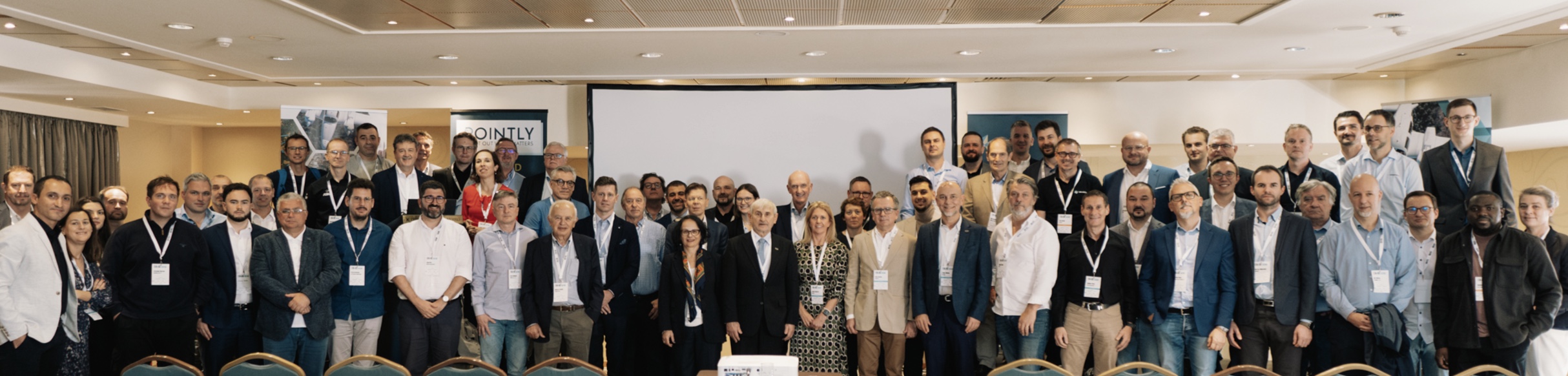
From Nov. 19th to 22nd, with the attendance of around 90 active players in the European aerial survey industry, this summit gathered end users and service providers, as well as the sensor manufacturers such as Phase One, IGI, Vexel, Hexagon, Riegl, Teledyne and GeoLas around the table, to run constructive discussions on the opportunities and challenges in data acquisition, post-processing, and workflows. Active participation of Software companies, such as Esri, Simactive, Skyline, TerraSolid and Pointly, empowered discussions toward an end-to-end approach, enabling Digital Twins with smarter features for better and more efficient decision-making based on geospatial data.
What is EAASI and its goals?
EAASI is an incorporated association without profitable goal with the aim to represent members’ interests in influential committees, support organizations in aerial surveying, and promote a sustainable Geo-Information market. They emphasize adopting international standards, sharing technological advancements, raising awareness of aerial surveying’s strategic value, and maintaining quality, safety, and ethical standards. Additionally, they include operational efforts to achieve these objectives effectively.
Setting the Stage for Industry Advancement
The heart of the summit revolved around two full days of workshops, panel discussions, and keynote presentations that addressed pressing challenges and emerging opportunities within the aerial surveying sector.
Keynote Speeches and panel discussions
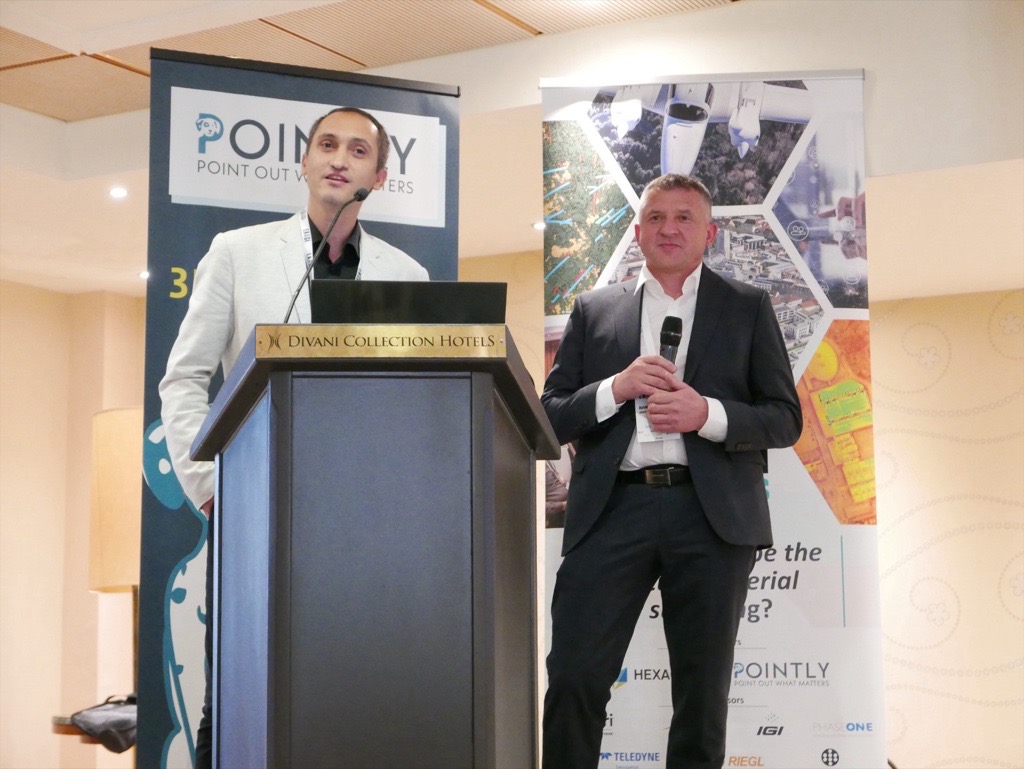
With impressive keynotes by Florian Romanowski, EAASI President, Alessandro Annoni, President of the International Society for Digital Earth, and Dr. Panos Lolonis, Head of the Geospatial Information Department of the Hellenic Cadastre, this summit connected the aerial survey industry to market demands by emphasizing greater collaboration and innovation toward the generation of Digital Twins for smart cities and addressing fundamental demands in public sector applications.
This, the sessions were empowered by panel discussions to run constructive exchanges running in the form of “debates”, providing a unique opportunity to address key challenges and explore sustainable solutions for the industry’s future. Topics explored included standardization and certification, Aerial Traffic Management (ATM) challenges, new business models, and engagement with students and academia, among others.
Phase One in the European Industry
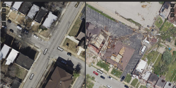
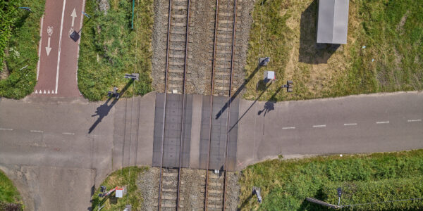
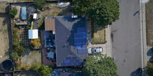
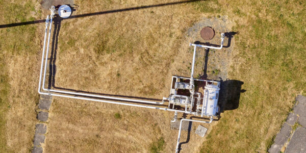
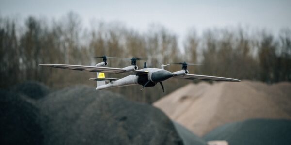
This year’s sponsors showcased real-world applications of cutting-edge technologies on topics like hybrid technology for large-area mapping, topo bathymetry, airborne thermography innovations, imagery-based GIS solutions, AI-driven point cloud classification, advanced photogrammetric workflows, LiDAR system integration, and GNSS and LiDAR trajectory advancements.
Antoni Labaj, the CEO and founder of AlterGeo Holdings, and Mohsen Miri, Director of Strategic Partnerships at Phase One presented a case study for “A Sustainable Solution for detecting Forest Tree Diseases” using PAS 280 large format camera, and Alter-Eye, an ultralight aircraft.
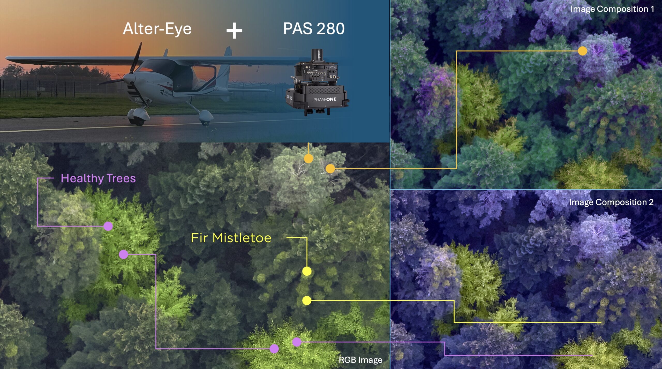
“What differentiates us compared to the other providers, is that we can fly lower and slower, and can achieve 1-3 cm GSD. Thanks to the AlterGeo setup and the usage of Satellite internet, we can fly with only the pilot, while the operator is controlling and managing the whole data acquisition from the office”, said Antoni Labaj.
Detailed information about this case study can be found in the article in GIM International, by Ada Perello, or on the websites of Phase One.
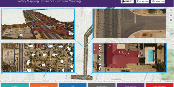
One of the highlights of these presentations was the use cases based on Digital Twins, generated by ESRI. As a use case for flood simulation, Phase One’s PAS 880 high-quality 3D mesh of the city of Ljubljana was presented.
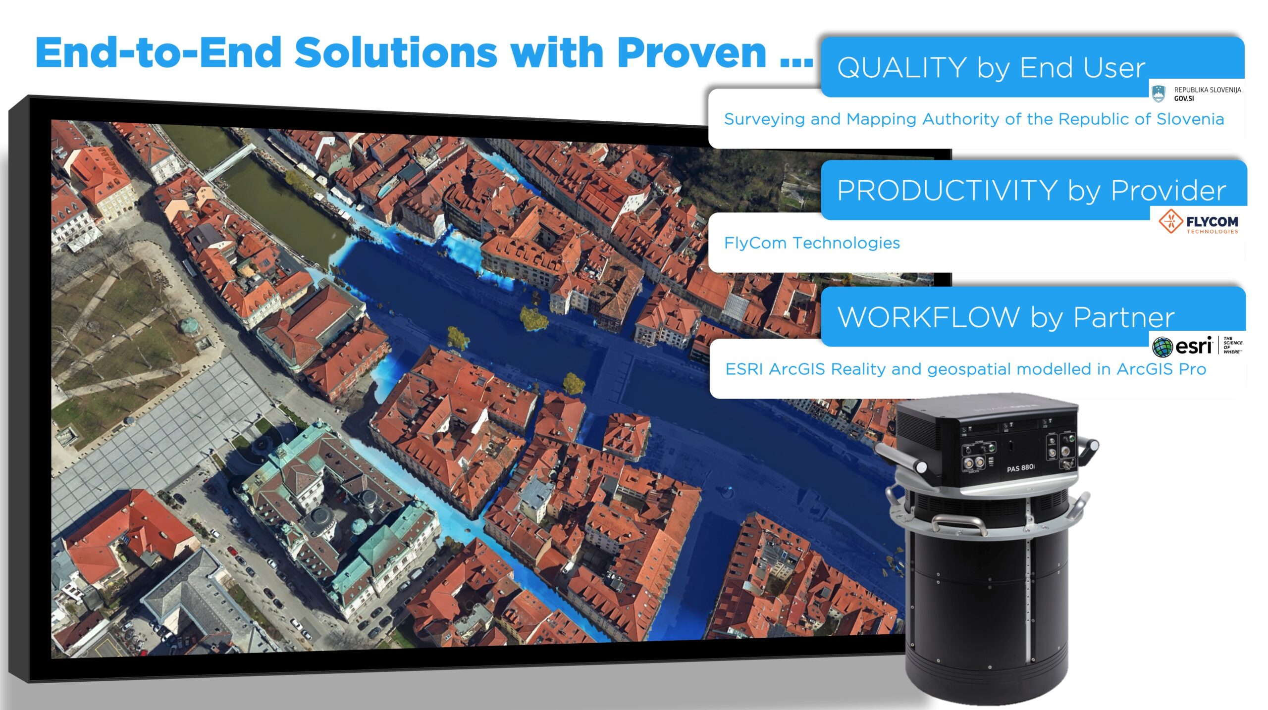
Furthermore we shared our pride in successfully passing the test on our PAS 880 system, performed by the Working Committee of the Surveying Authorities of the States of the Federal Republic of Germany (shortly AdV in German) for successful results from the test confirmed that the data recorded with a PAS 880 can be used to generate standardized products from ADV (such as DEM, TrueOrtho, Stereoscopic measurements, and Mesh models) while meeting the expected quality criteria.
In addition to this, we at Phase One, are proud of being part of the crucial project of “Digital Twin of Germany”, through the hybrid sensors of our partners, e.g., Riegl, operated by our valued European customers in the aerial surveying market.
A Cultural Exploration of Athens
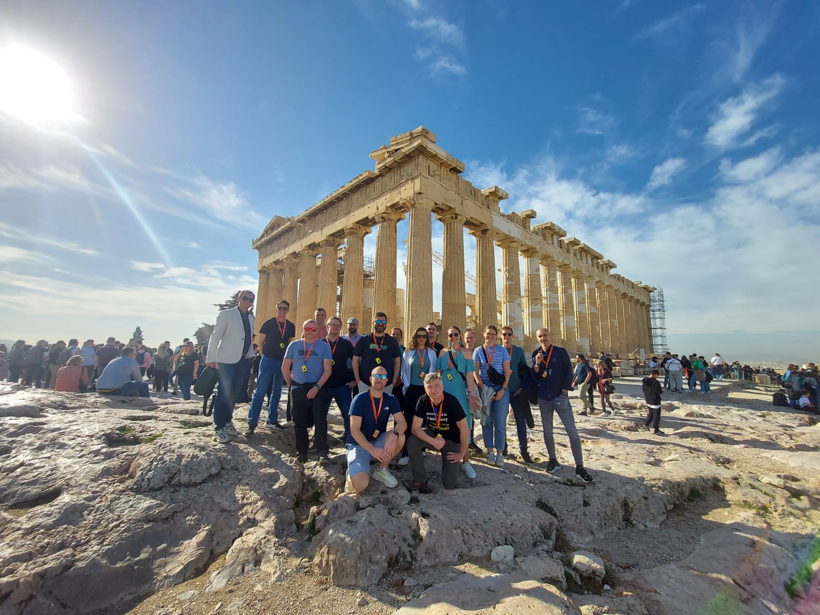
No visit to Athens would be complete without diving into the rich cultural and historical heritage. On November 22, EAASI arranged optional activities, offering attendees a chance to explore the city. Participants marvelled at iconic landmarks like the Acropolis, Parthenon, and the vibrant Plaka district, adding a memorable cultural dimension to their summit experience.
The touristic day underscored Athens’ unique position as a modern metropolis deeply rooted in history, mirroring the aerial surveying industry’s balance between heritage and innovation.
Collaboration and Vision for the Future
The 2024 EAASI Summit epitomized the association’s commitment to fostering collaboration and innovation. By creating a platform where members and observers could share their expertise and perspectives, EAASI once again demonstrated its pivotal role in advancing the aerial surveying industry.
“We achieved a Next Level in Athens, for more unification of our mindsets, alignment for our common goals and set actions for better development of our business, setting and reaching higher standards for sustainable and profitable solutions for our customers and end-users, which all will come back to ourselves and our bests!”, said Mohsen Miri, Director of Strategic Partnerships at Phase One.
Attendees left the summit equipped with fresh insights, strengthened professional networks, and a renewed sense of purpose to drive sustainable growth in the sector.
This year’s Summit was a testament to the collective strength of the aerial surveying community. Thank you to all attendees, speakers, and sponsors who contributed to the event’s success. We look forward to seeing you next year!
Share this on social media: