• Sign in
  • |
  • Contact us

Home Aerial Systems

Choose your language

  • Deutsch
  • English

Tag: Aerial Systems

Geospatial

Using aerial oblique images combined with close range UAV (uncrewed aerial vehicles) based data

UAV mapping camera case study Phase One
Geospatial

Trimble Inpho – High class photogrammetry with aerial imagery from PAS 280

Inspection camera for powerline corridor mapping
Geospatial

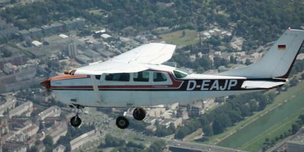
NV5 Geospatial – Capturing Precise Details, with Four Phase One Cameras Integrated into Helicopter-based CLASS

Webinar

How Digital-Twins of Hydro-power Dams support Plant Operations

Webinar

Addressing current geospatial needs with the flexible Phase One Aerial System portfolio

GGS Webinar
Webinar

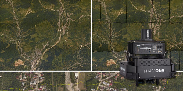
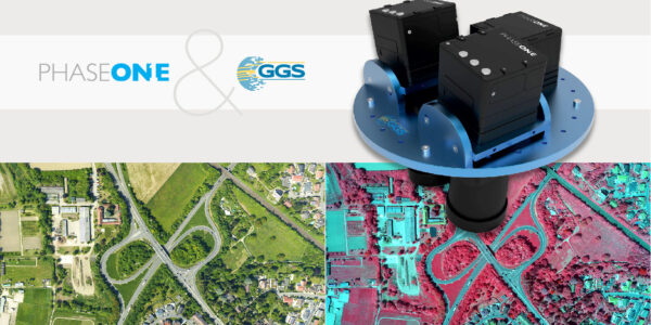
An overview of 20 years of Phase One aerial surveying sensor integration by GGS

Webinar

Advancing Aerial Surveying and Professional Photogrammetry Mapping – IGI & Phase One

Webinar

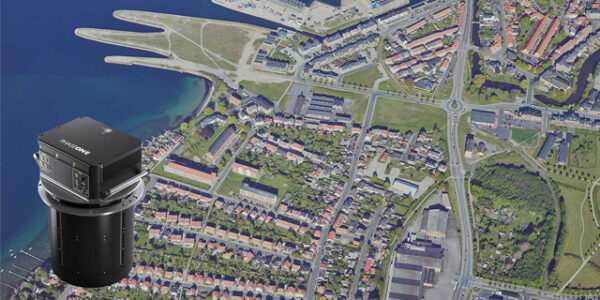
Large format oblique mapping at 880 MP from the imaging experts

multi-sensor power line inspection
Geospatial

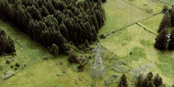
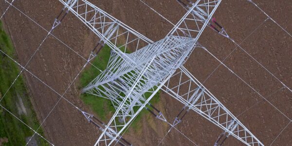
Siemens and GGS – Revolutionizing Powerline Inspection with Multi-Sensor Systems and Artificial Intelligence

Large Format Aerial Photography Case Study
Geospatial

Atlantic – Confidently Acquiring Large-format Imagery with Phase One’s 280MP Aerial Solution

  • Applications
  • Geospatial Imagery
  • Space
  • Heritage
  • Bespoke Photography
  • Solutions
  • Geospatial Solutions
  • Space solutions
  • Heritage Solutions
  • Photographic Cameras
  • Knowledge Hub
  • Case Studies
  • Upcoming Events, Webinars and Workshops
  • Inspiration
  • Press Releases
  • On-demand webinars and videos
  • Developer
  • Phase One Blogs
  • About
  • What Do We Stand For?
  • Life at Phase One
  • Find a Local Partner
  • Find a Rental Studio
  • Phase One Certified Professional
  • Contact us
Newsletter sign up
  • Legal
  • Privacy Policy
  • Cookie Policy
  • Terms and Conditions
© Phase One 2025
  • Legal
  • Privacy Policy
  • Cookie Policy
  • Terms and Conditions