Revolutionizing aerial imaging: Cellen’s hydrogen drone meets Phase One’s 120MP camera
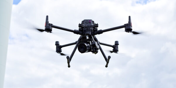
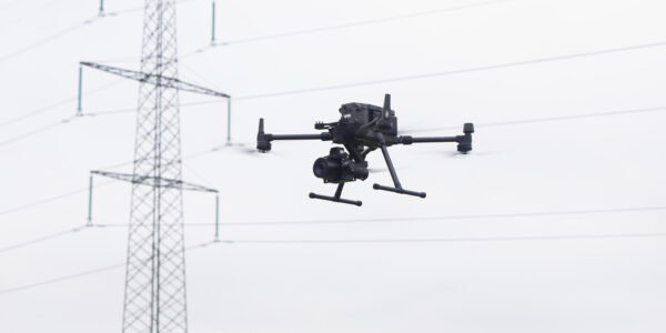
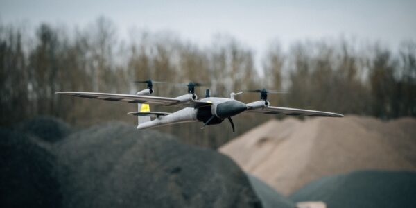
Cellen and Phase One have joined forces to push the boundaries of what’s possible in drone-based aerial imaging. This collaboration combines Cellen’s hydrogen-powered H2-6 multirotor drone with Phase One’s P3 ultra-high-resolution aerial camera. The result is a powerful new platform that delivers unmatched flight endurance and imaging performance for commercial drone operators.
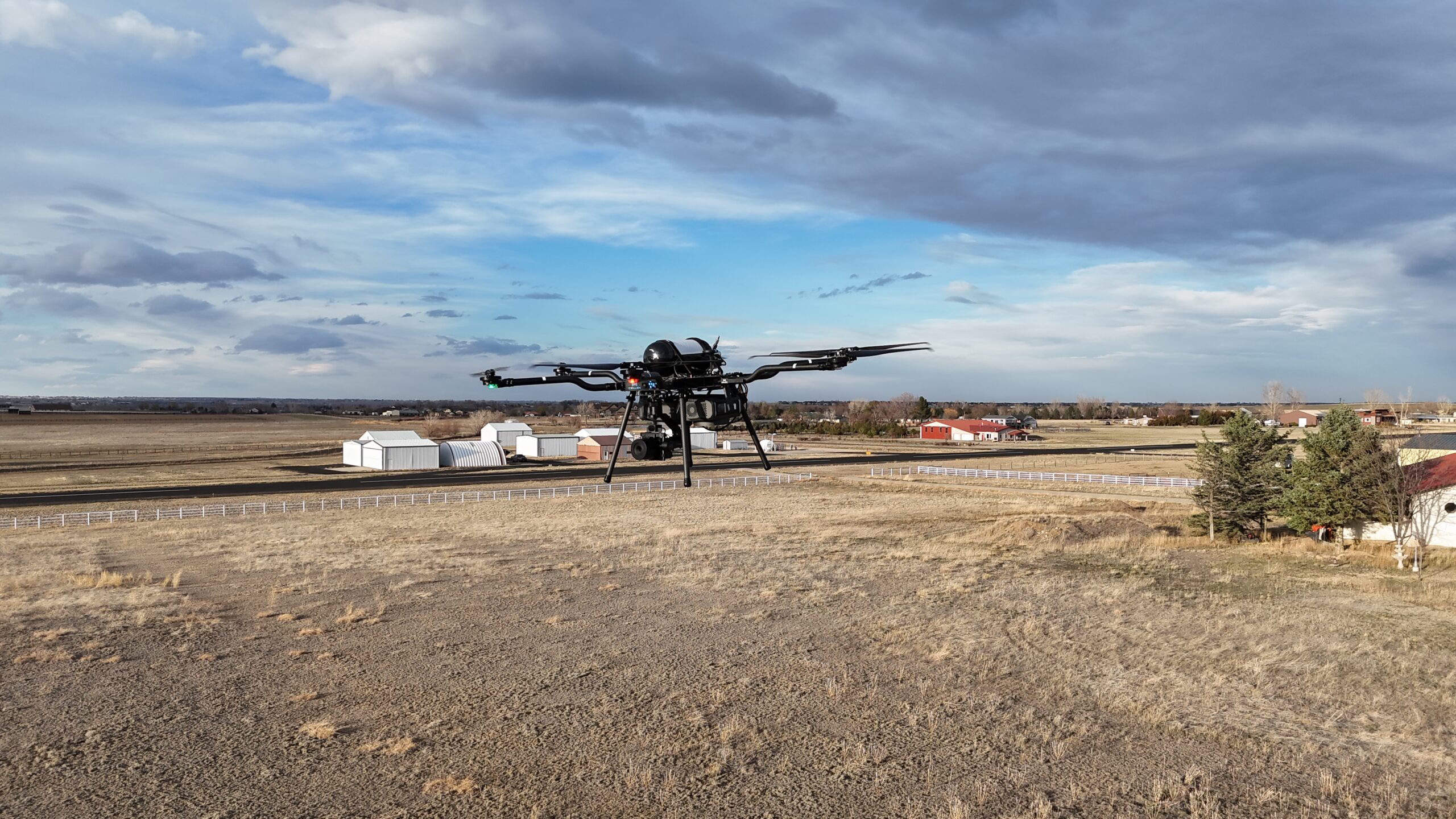
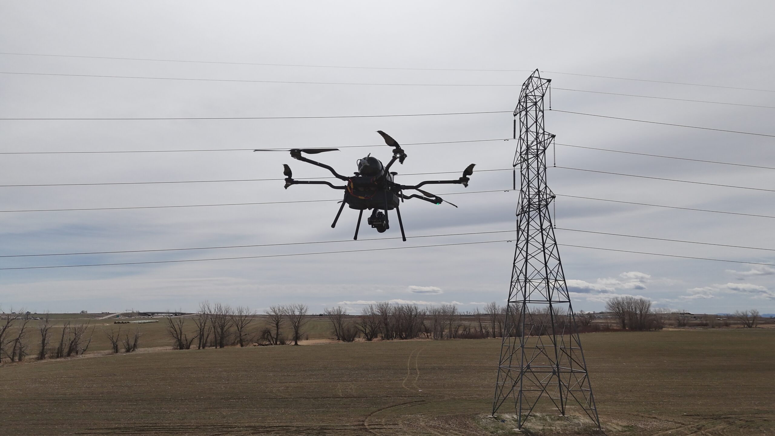
The H2-6 is a hydrogen-powered drone designed for industrial missions that demand long endurance and high payload capacity. Built in the USA, the H2-6 supports payloads up to 10 lb (4.5 kg), has a flight range of 20 km, and operates for over 2 hours on a single 12-liter hydrogen cylinder. It supports autonomous mission planning through QGroundControl or Mission Planner, and is controlled via a Herelink GCS. The H2-6 gives drone operators a quiet, zero-emission platform that dramatically reduces the number of flights needed to complete large-scale mapping and inspection missions.
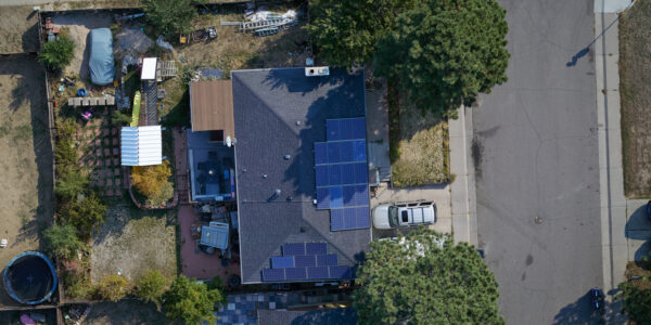
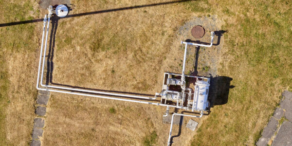
The P3 payload is a professional-grade imaging system built around the iXM-GS120 camera. With a 120 MP medium-format sensor and support for RSM lenses like the 80 mm, the P3 delivers unparalleled image quality and clarity. Its large sensor enables flights at higher altitudes without sacrificing resolution, and it captures more ground per image, reducing the total number of photos required. The P3 integrates seamlessly with the H2-6’s flight systems, allowing for precise control and automated capture during missions.
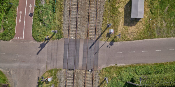
Cellen and Phase One modeled a mapping mission over a large 2,000-acre solar farm to evaluate performance in such a use case. The goal was to capture high-resolution imagery for panel inspection and site documentation at 0.12” GSD. The DJI M350, carrying a P1 sensor with a 35 mm lens, flew at 80 ft AGL with 80% forward and 70% side overlap, managing a 39-minute flight time. In contrast, the H2-6 carried the P3 (GS120) with a 35 mm lens, flew at 101 ft AGL with the same overlap, and maintained a continuous 2-hour flight.
Based on sensor capability and altitude, the M350 was estimated to cover approximately 75 acres per flight, requiring 27 flights to complete the project. The H2-6 was estimated to cover roughly 250 acres per flight, completing the same mission in only 8 flights.
| Platform | Camera | Altitude | Overlap (F/S) | GSD | Endurance per Flight | Area per Flight | Total Flight Time | Flights Needed |
| DJI M350 | P1 (35mm) | 80 ft | 80% / 70% | 0.12″ | 39 min | ~75 acres | ~17.5 hours | 27 flights |
| Cellen H2-6 | P3 (35mm) | 101 ft | 80% / 70% | 0.12″ | 2 hours | ~250 acres | ~16 hours | 8 flights |
Despite slightly less total flight time, the H2-6’s reduced number of takeoffs and landings means fewer mission interruptions, more consistent data collection, and significant time savings on logistics and ground operations.
The combination of Cellen’s hydrogen drone and Phase One’s advanced aerial imaging unlocks a new tier of drone capability. Operators can now execute high-resolution, large-area missions with fewer takeoffs, lower operational risk, and greater efficiency. This solution reduces time on-site, simplifies logistics, and ensures clients receive the highest quality data. For drone service providers looking to scale operations or differentiate themselves in the market, the H2-6 with P3 is a transformative tool. Contact Cellen or Phase One to learn how to bring this powerful solution into your workflow.
Share this on social media: