How aerial camera calibration works at the Phase One Calibration Lab
Accurate aerial mapping begins long before an aircraft leaves the runway. Behind every high-precision dataset is a structured calibration workflow designed to ensure that a camera system measures geometry consistently, repeatably, and in compliance with strict photogrammetric project specifications.
Aerial camera calibration is the process of measuring and validating the geometric performance of an aerial mapping camera system. It defines how the sensor captures spatial information, determines lens behavior and orientation parameters, and ensures that measurements derived from imagery meet required geospatial accuracy standards.
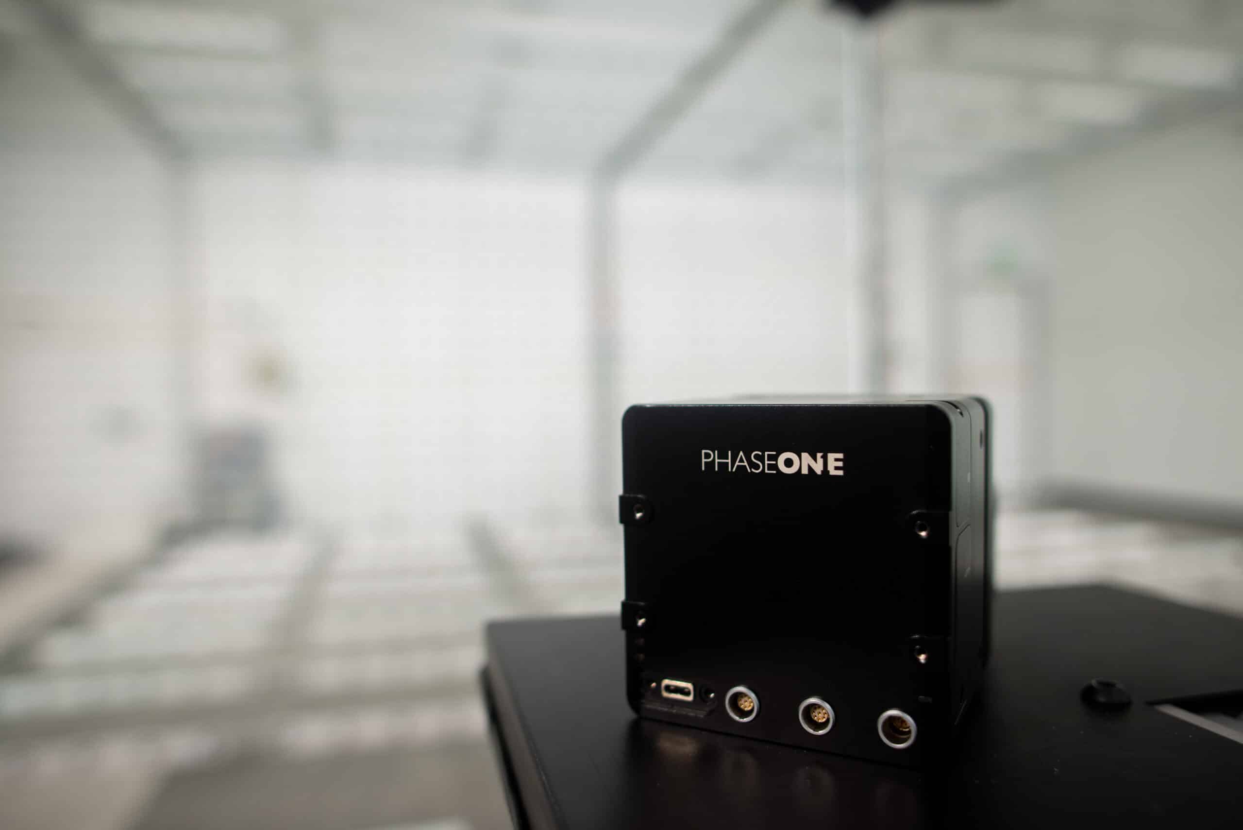
To support this level of precision, Phase One established a dedicated Calibration Lab and Geospatial Center of Excellence in Denver, Colorado. The purpose of the facility is clear: to provide controlled metric calibration, full-system validation, and real-world flight testing within one integrated workflow — minimizing downtime while maximizing accuracy and repeatability.
Below is a detailed look at how professional aerial camera calibration is performed.
Receiving and assessing the complete aerial mapping system
Calibration begins with a comprehensive system intake and technical review. When a camera or full aerial mapping system arrives at the lab, technicians evaluate more than just the imaging sensor.
The assessment includes:
- Camera body and lens condition
- Mounting hardware and mechanical interfaces
- Calibration history and prior certificates
- Firmware and software versions
- The reason for calibration (routine renewal, post-repair validation, or new production)
In geospatial imaging, accuracy depends on the complete system. Mount alignment, integration tolerances, and configuration settings all influence geometric performance. Evaluating the entire aerial mapping system at the outset reduces the risk of discrepancies appearing during flight operations.
Performing controlled laboratory metric calibration
The core of the workflow is laboratory metric calibration. This stage defines the camera’s geometric characteristics under tightly controlled environmental conditions.
Key parameters measured during metric calibration include:
- Interior orientation
- Principal point location
- Focal length stability
- Lens distortion characteristics
The Phase One Calibration Lab was purpose-built to support calibration across the full range of aerial lenses. Specialized equipment, environmental stability, and standardized procedures ensure high repeatability and traceable results.
Automation plays an important role. By implementing highly automated calibration workflows, the lab increases consistency, reduces variability between calibration cycles, and strengthens documentation reliability. This procedural consistency is critical for meeting strict photogrammetric accuracy requirements.
The result is a validated calibration model that defines how the camera translates captured light into measurable geometric data — the foundation of precise aerial mapping.
Reassembling and verifying the integrated system
Laboratory measurement alone is not sufficient. Aerial camera systems operate as integrated platforms where mechanical alignment and sensor interaction influence performance.
After metric calibration, the camera is reassembled into the full aerial mapping system. This includes:
- Mechanical alignment and adjustment
- Integration verification
- System-level testing
- Final assembly and validation for PAS aerial mapping systems
Calibration must carry through from the lab to the operational configuration. Even minor alignment variations can affect mapping accuracy. Conducting assembly and validation within the same facility ensures continuity between measurement and deployment.
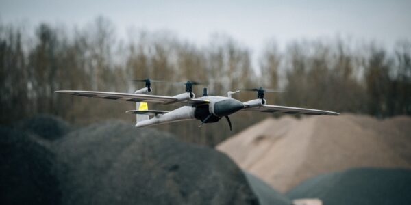
Validating performance under real flight conditions
True aerial camera calibration does not stop at the laboratory door. Real-world validation is a critical component of ensuring geospatial accuracy.
With aircraft access available near the Denver facility, technicians can perform rapid test flights to:
- Confirm geometric performance in operational conditions
- Validate system stability during flight
- Replicate and troubleshoot customer-reported issues
- Verify performance after repair or configuration changes
Flight validation bridges the gap between theoretical calibration and airborne data acquisition. Environmental variables such as vibration, mounting stress, and atmospheric conditions can only be fully assessed in real-world conditions.
For operators working within strict project timelines — including sun angle constraints and limited weather windows — rapid testing and verification reduce downtime and protect project margins.
Troubleshooting and optimizing performance
The Calibration Lab also serves as a technical support and optimization center for geospatial professionals.
Because metric calibration, integration testing, and flight validation are consolidated into one workflow, troubleshooting can be systematic and efficient.
During calibration visits, technicians may:
- Update firmware and system software
- Verify configuration settings
- Review mission workflows
- Advise on optimizing system performance across multiple applications
Modern aerial mapping systems are designed to support various mission profiles. Calibration intervals provide an opportunity not only to maintain compliance but also to expand system utilization and improve operational return on investment.
Documenting results and ensuring traceability
Accurate calibration requires complete documentation.
After validation is complete, customers receive:
- Updated calibration certificates
- Verified parameter files
- System testing records
- Traceable documentation of procedures performed
This documentation supports regulatory compliance, internal quality control, and client transparency. In high-precision geospatial imaging, traceability ensures defensible and repeatable results.
Maintaining photogrammetric accuracy through proactive calibration
High-accuracy aerial imaging depends on proactive calibration strategies rather than reactive fixes.
Professional operators typically schedule calibration:
- At defined renewal intervals
- After hardware repair
- Before high-precision or large-scale mapping projects
- During planned operational downtime
Routine calibration ensures continued compliance with project specifications and maintains consistent, reliable photogrammetric performance.
Why a dedicated calibration lab matters for geospatial imaging
Aerial camera calibration is not a single adjustment or isolated lab measurement. It is a structured, repeatable workflow that connects controlled metric measurement, full-system integration, and real-world flight validation.
By investing in a dedicated Calibration Lab and Geospatial Center of Excellence, Phase One created an environment designed to improve:
- Geometric accuracy
- Procedural consistency
- Repeatability
- Turnaround time
- Operational reliability
For geospatial professionals seeking clarity on how aerial camera calibration works, the essential takeaway is this:
True calibration combines laboratory precision with system-level verification and in-air validation — ensuring that every pixel captured translates into precise, measurable geographic information.
FAQs aerial camera calibration
How often should an aerial camera be calibrated?
Most professional operators follow defined renewal intervals or calibrate after hardware repair. Calibration is also recommended before high-accuracy or high-value mapping projects to ensure compliance with photogrammetric specifications.
What is the difference between metric calibration and flight validation?
Metric calibration measures and defines the geometric properties of the camera in a controlled laboratory environment. Flight validation confirms that those parameters perform correctly under real operational flight conditions.
Can calibration reduce mapping errors?
Yes. Proper aerial camera calibration reduces geometric distortion, improves measurement accuracy, and ensures consistent results across projects. It is foundational to reliable photogrammetric outputs.
Why is full-system validation necessary?
Aerial mapping accuracy depends on how the entire system performs — including mounts, integration components, and firmware configuration. Validating the complete system ensures laboratory precision translates into operational performance.
Share this on social media: