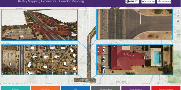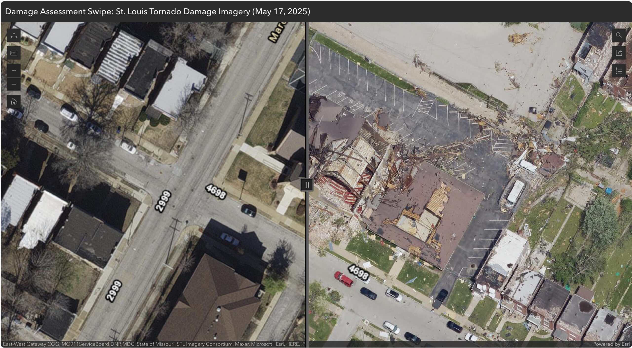
High-resolution emerging response to tornado damages in St. Louis
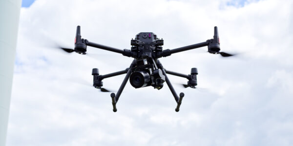
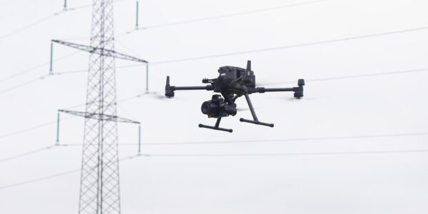
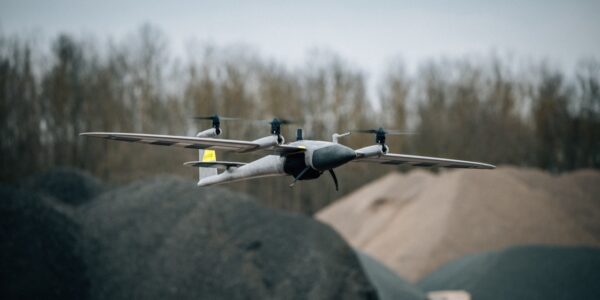
Surdex (a Bowman Company) captures post-storm imagery within 48 hours using the Phase One PAS Pana.
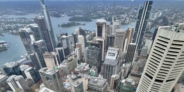
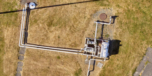
On the morning of Saturday, May 17, just hours after a destructive tornado swept through parts of the St. Louis region, Surdex Corporation launched a rapid aerial data collection mission. Using the Phase One PAS Pana large-format aerial system, the team successfully captured high-resolution imagery of the affected areas to support emergency response, damage assessment, and recovery operations.
This swift deployment highlights the power of integrated geospatial technology—combining geospatial expertise and cutting-edge imaging systems to deliver mission-critical insights when timing matters most.
Find out more about Phase One’s geospatial imagery.
Explore the data:
• Swipe Viewer (compare before/after imagery)
• Story Map (with context and mapped damage)
“Our goal was to get actionable imagery into the hands of responders, decision-makers, and impacted community members as quickly as possible,” said Andy Dearing, Executive Vice President at Surdex.
This initiative comes at a pivotal moment as the GEOINT 2025 Symposium brings the global geospatial community to St. Louis. The Surdex response is a real-world demonstration of how high-resolution imaging and rapid mobilization can provide vital data in the immediate aftermath of natural disasters.
Share this on social media: