Engefoto Synthetic Cameras: 15 years of scalable aerial sensor integration using Phase One technology
Customer snapshot
Who: Engefoto is a Brazilian geomatics and infrastructure consulting company with more than four decades of experience in aerial and geodetic surveying, GIS, road design, BIM, and technical supervision. Founded in 1980 and headquartered in Curitiba, Engefoto works with municipal, state, and federal authorities across Brazil, as well as private-sector clients throughout Central and South America.
Challenge: Large-area mapping projects increasingly demand higher resolution, multispectral data, and consistent geometry—without proportional increases in flight time, processing complexity, or operational risk. Commercial off-the-shelf cameras did not fully address these combined requirements.
Solution: Engefoto developed a series of synthetic camera systems built on Phase One digital camera platforms. By integrating multiple synchronized cameras into a single virtual sensor with a single geometry, Engefoto created scalable aerial imaging systems optimized for productivity, multispectral capture, and standard photogrammetric workflows.
Result: Since 2010, Engefoto has mapped more than 100,000 km² across over 50 contracts using synthetic cameras. The approach reduced flight lines, stabilized aerotriangulation, supported four-band deliverables as standard, and enabled repeatable, future-proof system integration across multiple generations of Phase One cameras.
Industry and market context
Aerial mapping is under pressure from multiple directions at once. Public-sector clients expect higher spatial resolution and richer spectral information, while budgets and delivery timelines continue to tighten. At the same time, downstream applications—from digital twins and infrastructure monitoring to environmental analysis and AI-assisted classification—depend on consistent geometry and clean, well-calibrated imagery.
In many markets, including Brazil, multispectral data is no longer optional. Four-band imagery has become a baseline requirement in tenders, not only for visualization but also for vegetation analysis, water monitoring, and automated feature extraction. Meeting these expectations with traditional single-sensor cameras often means flying more lines, increasing mission time, and managing more complex processing chains.
Against this backdrop, Engefoto’s long-term investment in synthetic camera technology reflects a broader industry shift: moving from individual sensors toward integrated imaging systems designed around operational efficiency and data consistency, rather than isolated hardware specifications.
Engefoto x4 Camera
The customer challenge
When Engefoto acquired its first digital aerial camera in 2010, the company was already experienced in camera calibration, photogrammetry, and geodetic software development. That system used four Phase One iXA 65-megapixel digital camera kits arranged to cover a larger swath, effectively behaving like a large-format camera. What it lacked was a practical way to merge the data into a single, stable image suitable for standard mapping workflows.
Commercial stitching solutions were not available, and managing multiple cameras independently during aerial triangulation introduced unnecessary complexity, especially when combining visible and non-visible bands.
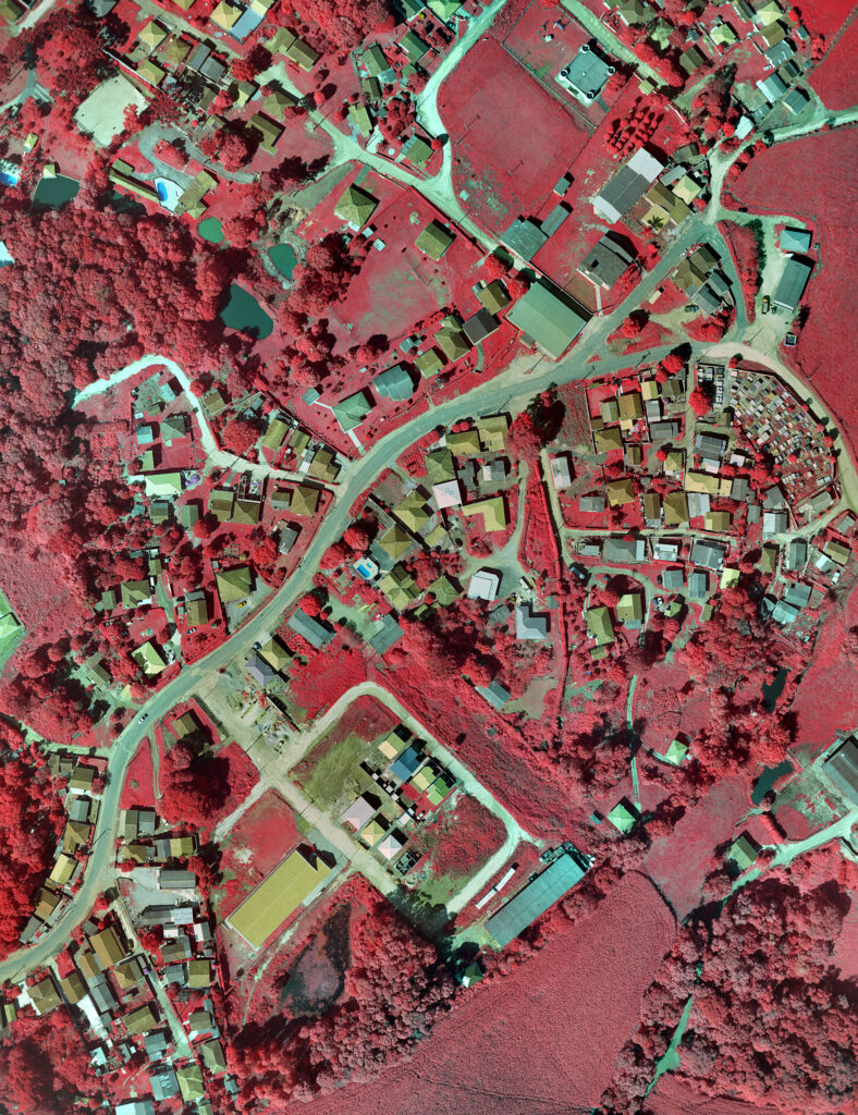
Engefoto Doppia CIR Image
Engefoto faced a fundamental limitation: existing approaches treated each camera as a separate entity. For large-area mapping, this meant more flight lines, higher operational costs, and greater risk of overlooking any poor-quality data. The company needed a way to increase resolution and spectral coverage while simplifying, not complicating, the overall production chain.
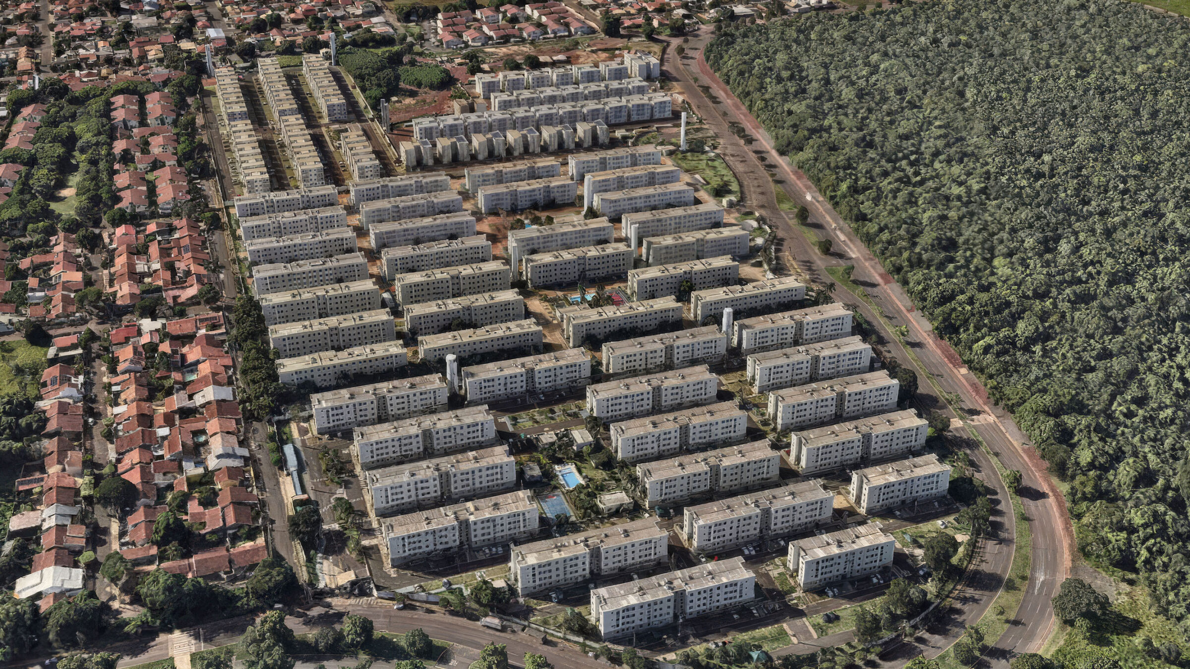
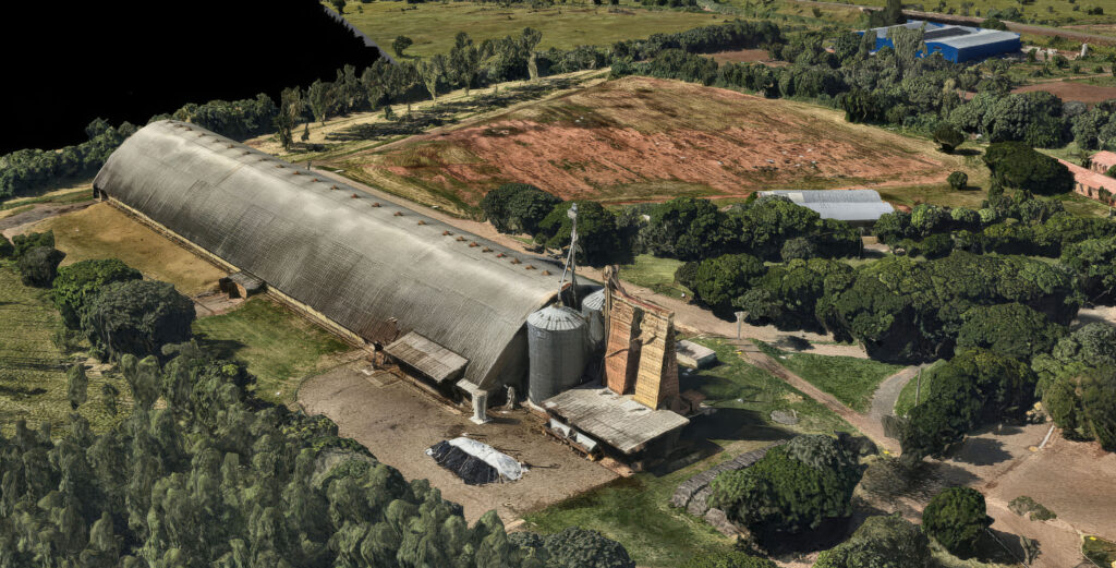
Doppia 100 3D Mesh detail
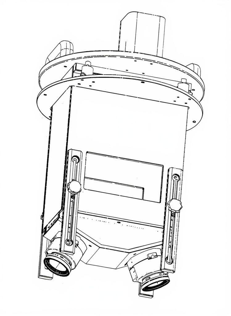
Solution: building a synthetic camera as a system
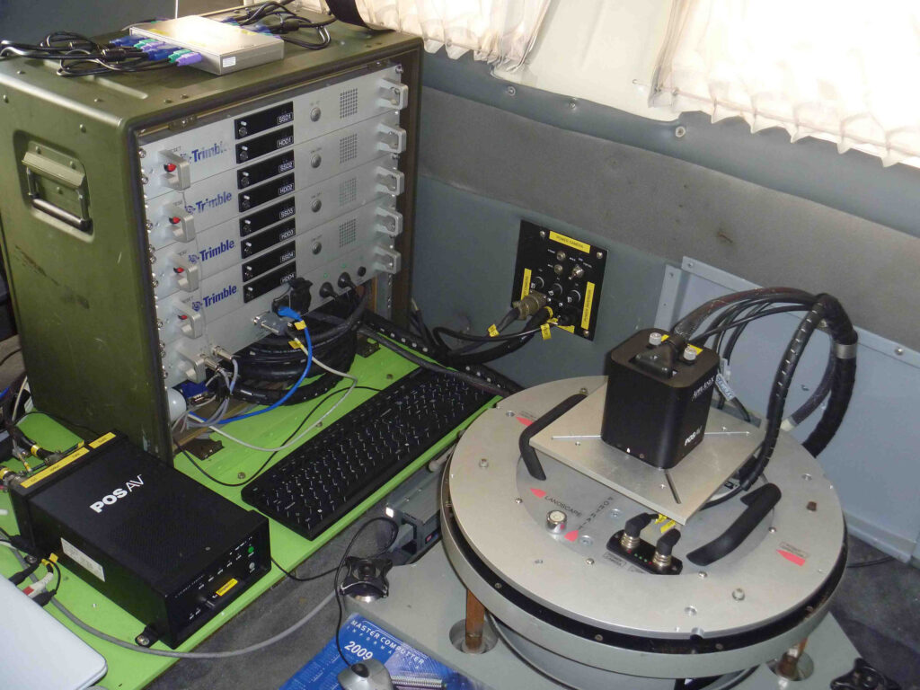
Engefoto addressed this challenge by developing what it calls a synthetic camera: a virtual camera with a virtual sensor and a virtual lens, derived from two or more precisely synchronized physical cameras. Instead of stitching images late in the workflow, the system generates a single synthetic image at the point of integration.
For photogrammetric purposes, these images behave like those from a metric aerial camera. These images are processed in standard software to generate orthophotos, 3D meshes, and stereo models without special handling or custom workflows. A defining characteristic of Engefoto’s synthetic cameras is distortion-free imagery with the photogrammetric origin aligned to the fiducial center. Principal point coordinates are zero by design. This architectural decision reduces sensitivity to how different software packages interpret distortion and principal point parameters, helping prevent processing errors across tools and projects.
Working with one image and one geometry also simplifies multispectral workflows. Combining multiple cameras during aerial triangulation—especially across different spectral bands—often produces unstable results. Engefoto found that generating a single synthetic RGBN (RGB + NIR) image upfront was significantly more robust. As Reynaldo Souto, R&D Consultant at Engefoto notes, “when you work with one synthetic image and one geometry, the workflow is simpler and more stable, especially when four-band delivery is a standard requirement rather than a special case.”
Engefoto Stretta Camera
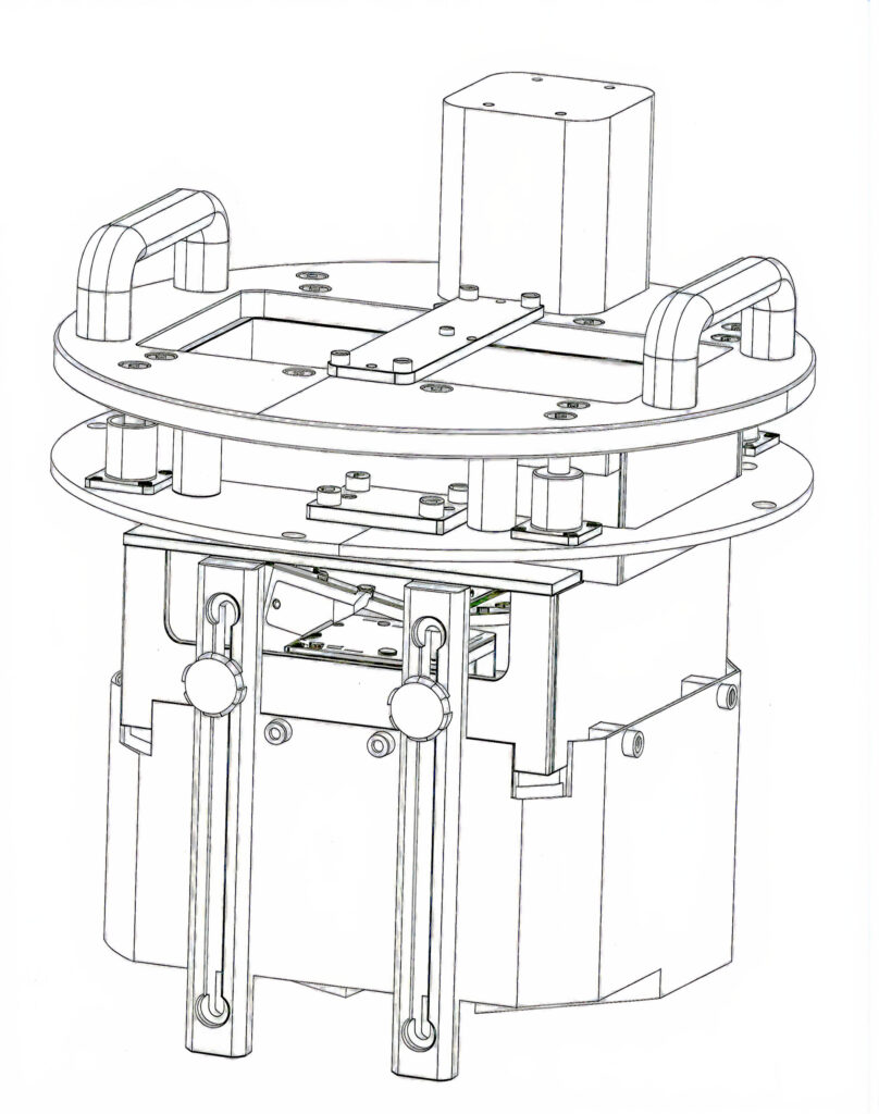
Phase One as the integration platform
Phase One cameras play a central role in Engefoto’s system architecture. The company has used Phase One iXA, iXU, and iXM cameras throughout their system development due to their image quality, synchronization accuracy, and reliability in demanding aerial environments. Being able to synchronize multiple cameras accurately is fundamental to the synthetic camera concept. Phase One platforms support this requirement while still being straightforward to integrate into custom mechanical, electronic, and software systems. Over time, consistent calibration behavior and long-term availability have allowed Engefoto to evolve its designs without rethinking the entire integration model.
Just as important has been access to technical documentation and engineering support. Engefoto’s development depends on a deep understanding of camera behavior, timing, and interfaces. Having masterminded Engefoto’s synthetic camera program from the beginning, Reynaldo notes that “Phase One has long provided the level of transparency required to support long-term, in-house innovation”.
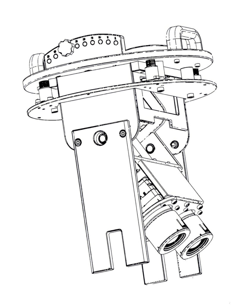
Engefoto Venti Camera
Fifteen years of synthetic camera development
Engefoto’s first synthetic camera emerged in 2011. It generated a 16,200 × 12,000 pixel RGB image—194MP—by combining four Phase One iXA digital camera backs with 72 mm focal length lenses. This initial system validated the concept and established the software foundation for future development.
In 2013, Engefoto introduced Doppia, a medium-format four-band synthetic camera generating 10,000 × 7,700 pixel RGBN images. Built using two Phase One iXA cameras, Doppia addressed growing demand for multispectral data and demonstrated that synthetic cameras could support both resolution and spectral expansion within a manageable form factor.
As sensor technology advanced, Engefoto scaled the concept further. Stretta, introduced in 2020, combined two Phase One iXM‑RS150 cameras to produce 28,000 × 9,400 RGB images—263MP—in a large-format configuration optimized for productivity. Venti followed in 2021, integrating three iXM‑RS150 cameras to deliver four-band RGBN imagery at 292MP.
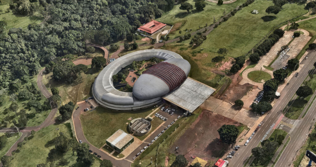
As Engefoto continues to expand its fleet, additional Engefoto synthetic camera systems have been deployed including the Doppia 150, Doppia 100, and Doppia iXU, all reflecting a continued focus on flexibility. Doppia 100, for example, supports adjustable nadir and oblique angles, enabling high-quality 3D mesh generation from the same synthetic camera architecture.
Across seven synthetic camera systems—four integrated directly by Engefoto and others used in contracted operations—the underlying principle remains consistent: treat the camera, navigation, and processing chain as a single system.
Engefoto Doppia 100 Oblique Camera
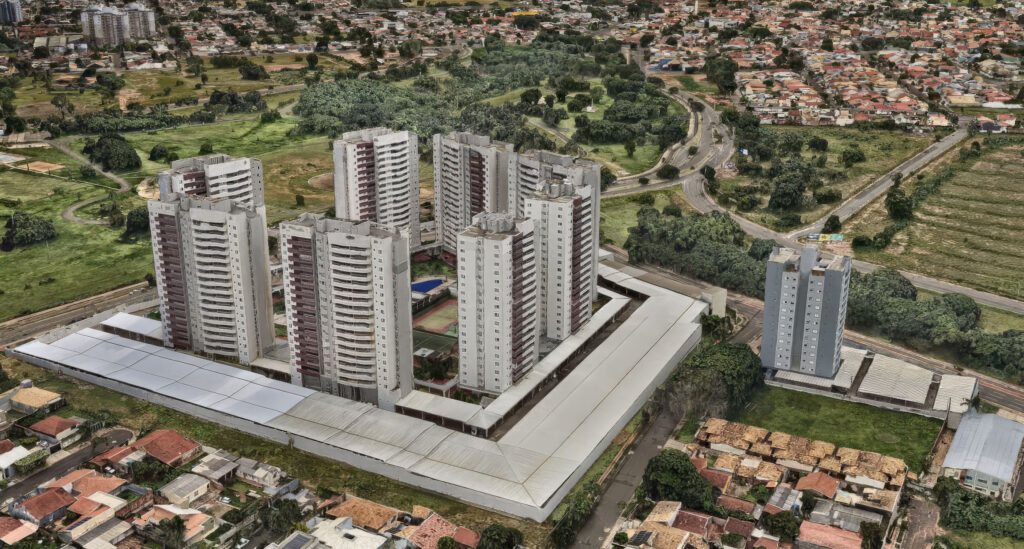
Customer value and results
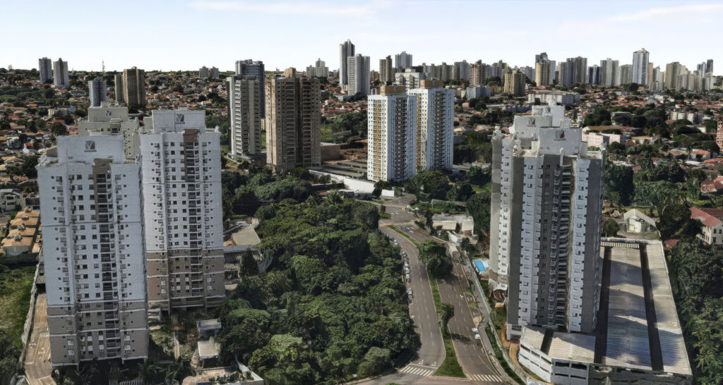
Operationally, the impact of synthetic cameras has been most visible in large-area mapping. By increasing pixels across-track, Engefoto reduced the number of required flight lines, lowering mission time and aircraft costs while maintaining geometric quality. Over more than 100,000 km² of mapped territory, these savings accumulated into a significant competitive advantage.
Processing stability has been equally important. Each mission produces a single synthetic image per exposure, with a single geometry. Only minimal overlap is required between the original cameras, and aerial triangulation behaves predictably—even when multiple spectral bands are involved. This stability contrasts with workflows that attempt to combine separate cameras later in the process, where alignment issues are common.
Doppia 100 3D Mesh detail
Multispectral capability has also become a standard offering rather than a special case. Four-band imagery supports vegetation indices, water analysis, material discrimination, and automated classification, allowing Engefoto to deliver richer datasets from the same flights.
Most importantly, the synthetic camera approach has proven repeatable. Engefoto has carried the same integration philosophy across multiple generations of Phase One cameras, adapting to new sensors without disrupting established workflows. That continuity has allowed the company to invest confidently in long-term system development rather than one-off solutions.
Doppia 100 3D Mesh detail
“We wanted a large-format camera, but we also wanted control over the geometry,” explains Engefoto. “By creating a synthetic camera, we could define a single virtual sensor that behaves exactly the way photogrammetry expects.”
On multispectral integration, Engefoto notes that combining bands at the image level, rather than later in processing, makes a measurable difference. “When you work with one synthetic image and one geometry, the workflow is simpler and more robust. That matters when you are delivering four-band data as a standard requirement.”
Doppia 100 3D Mesh detail
Phase One cameras have been consistent and reliable across many years. Accurate synchronization and access to technical information made it possible for us to evolve our systems instead of replacing them.
About Engefoto
Engefoto is a Brazilian geomatics and infrastructure consulting company founded in 1980 and headquartered in Curitiba. With ISO 9001 certification and 46 years of experience, Engefoto delivers aerial and geodetic surveys, GIS solutions, road design, BIM, and technical supervision. The company develops and integrates its own systems, including GeoWise GIS, LandRunner mobile mapping, SkyHover UAV platforms, and synthetic camera systems. Engefoto serves public and private clients across Brazil and throughout Central and South America.
Doppia 100 3D Mesh detail
About Phase One
Phase One develops high-end imaging solutions for professional applications, including aerial mapping, geospatial data capture, and industrial imaging. Known for image quality, reliability, and long-term platform consistency, Phase One camera systems are designed to integrate into advanced imaging workflows where precision, scalability, and data integrity matter.
Geospatial
Eight perspectives, one system
Geospatial
Finding tiny cracks with UAVs opens new opportunities
Geospatial
From capture to corridor intelligence: How Kavel 10 scaled 1 cm mapping with the Phase One + IGI CM-1
Geospatial
From sensors to solutions: How AISPECO orchestrates precision in reality surveying
Geospatial
Monitoring pipeline corridor using PAS 280 large format camera
Geospatial
Preventing Wild Bushfires By Mapping Planned Burns
Geospatial
Novice Aerial Photographer Becomes Advanced Mapping Provider
Geospatial
Inspecting Wind Turbine Blades While They Are Rotating
Geospatial
Precision at Altitude: Redefining Aerial Mapping with the PAS 880 Oblique Camera System
Geospatial
Perfecting telescope dish accuracy with UAV photogrammetry

Geospatial
Saving costs while lowering carbon footprint: Innovative aerial surveying service uses small airplanes enabled by compact cameras
Geospatial
Detecting forest tree diseases using a large-format camera on an ultralight aircraft
Geospatial
Mapping lava flows during volcanic eruptions in Iceland
Geospatial
The PAS Pana: a 48,800-pixel camera innovated with our customer Surdex
Geospatial
Rebuilding after Hawaii’s wildfire with engineering-grade surveying