The PAS Pana: a 48,800-pixel camera innovated with our customer Surdex
Surdex, a Bowman company (Surdex) is a US-based service provider for aerial mapping. When the National Agriculture Imagery Program (NAIP) revised its specifications, transitioning from a 60 cm resolution to a 30 cm resolution, Surdex approached Phase One seeking a solution. The result was the co-created PAS Pana wide-area camera for geospatial mapping.
Demanding data: a challenging market
Surdex has been providing high-quality aerial imagery, data, and mapping services to the public sector and private industries since 1954. With such a long-standing presence in the orthoimagery industry, they have seen a lot of changes in the market.
By the early 2020s, the market was demanding higher image resolution for very large areas, requiring efficient capture.
Surdex flies NAIP program
For Surdex, this challenging demand was very real. One of their key customers was — and still is – the USDA NAIP, a relationship that started way back in 2002 when Surdex was chosen for the program’s pilot year. Today they are the only company that has been with NAIP every year since.
So, when NAIP announced in 2021 they were moving from images with a 60 cm resolution to a far more detailed 30 cm resolution, Surdex had to find a solution.
Phase One: a natural partner
Achieving the new resolution brought its own set of challenges. Surdex saw that moving to 30 cm meant investing in a system that could handle the very large data rate and have enough storage easily available to store it. To maximize value, any system would also have to be suitable for other Surdex missions, such as photography during the leaf-off season, which required a broad range of Ground Sampling Distances (GSDs). Lastly, they needed a system that would play well with their post-processing set-up; for them, that meant five RGB cameras.
Phase One's position and reputation in the market made them a natural candidate for the job. And since Surdex had already been successfully using Phase One systems for their LIDAR operations, the foundation was there for joint development.
A customer-driven solution following Phase One’s product principles: productivity, simplicity and quality
A design was discussed, combining ideas from both sides in a mutually beneficial collaboration.
A game changer. 48,800 px swath.
Key for Surdex was using tried and tested parts and equipment — they didn’t want the risk of unproven hardware. The interoperability of Phase One products meant that a prototype was put together using established components. For example, the camera chassis, data controller and Applanix GNSS+IMU from the PAS 880 and the very mature GSM 4000 mount were employed. Also, easily available standard storage drives were chosen to handle the huge data load required to capture millions of images in color, further reducing complexity.
Development went from idea to a working camera in under a year. It was a textbook example of how a customer need drove the evolution of new product — and how Phase One worked with Surdex to get there.
PAS Pana provides us a very wide swath: over 48,000 pixels wide which is more than twice our prior generation systems. This allows us to fly fewer flight lines and fewer hours. With the same aircraft we can cover more ground.
What was the result?
Wide range of resolution options. A Surdex story.
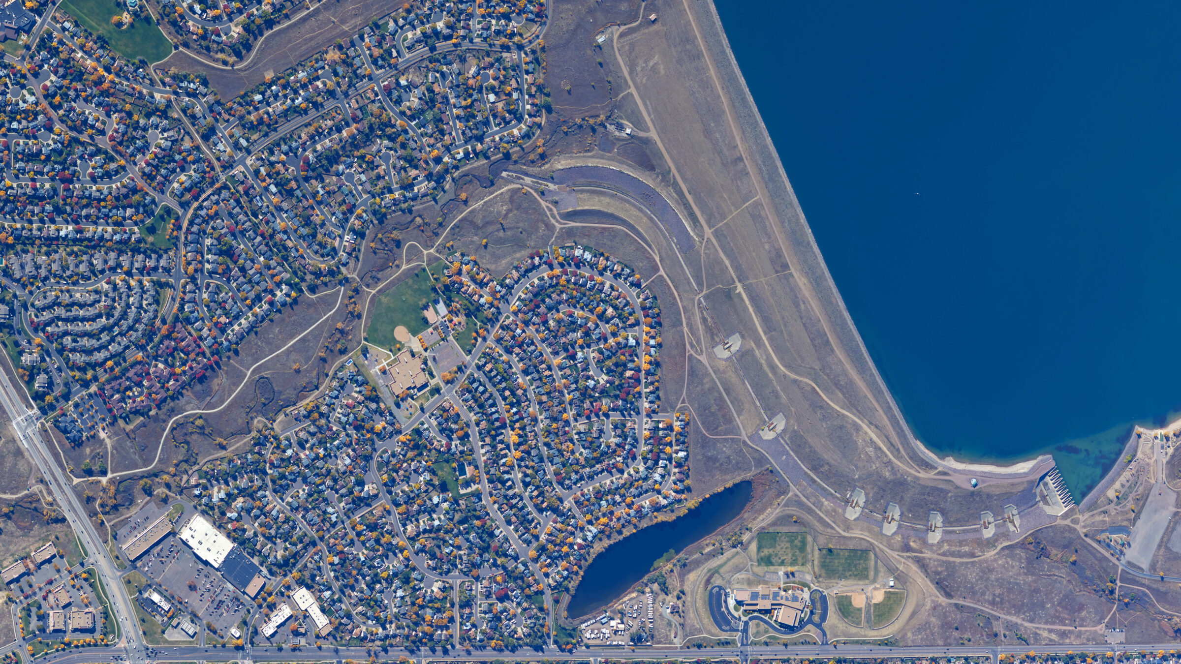
The PAS Pana’s 48,800-pixel swath — more than twice that of what Surdex had used before — has enabled them to fly fewer flight lines and fewer hours. Seasons are short so productivity is vital. By covering more ground, Surdex has been able to complete more missions.
More than twice the dynamic range is captured in color thanks to the PAS Pana’s high sensitivity CMOS sensor. This also improves removing atmospheric anomalies, such as haze and smoke from wildfires.
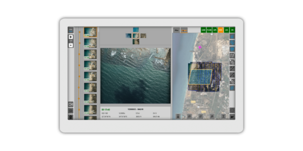
The Phase One solution gave Surdex more than just best-in-class hardware. The iX Flight Pro software’s standard file formats meant data could be easily folded into their in-house processes. Phase One’s RAW image format – Intelligent Image Quality (IIQ) – carried all the metadata, removing the need for it to be tracked separately.
For Surdex, which flies over two million square kilometers every summer for NAIP alone, the PAS Pana system provides the necessary speed and performance to meet their clients’ ever-increasing requirements. Backed by capable support to ensure efficient issue resolution and overseen by a team of industry experts, the PAS Pana is one of the most productive, wide-area camera solutions for today’s market.

Geospatial
Eight perspectives, one system

Geospatial
Finding tiny cracks with UAVs opens new opportunities

Geospatial
From capture to corridor intelligence: How Kavel 10 scaled 1 cm mapping with the Phase One + IGI CM-1

Geospatial
From sensors to solutions: How AISPECO orchestrates precision in reality surveying

Geospatial
Monitoring pipeline corridor using PAS 280 large format camera

Geospatial
Preventing Wild Bushfires By Mapping Planned Burns

Geospatial
Novice Aerial Photographer Becomes Advanced Mapping Provider

Geospatial
Inspecting Wind Turbine Blades While They Are Rotating

Geospatial
Precision at Altitude: Redefining Aerial Mapping with the PAS 880 Oblique Camera System

Geospatial
Perfecting telescope dish accuracy with UAV photogrammetry

Geospatial
Saving costs while lowering carbon footprint: Innovative aerial surveying service uses small airplanes enabled by compact cameras

Geospatial
Detecting forest tree diseases using a large-format camera on an ultralight aircraft

Geospatial
Mapping lava flows during volcanic eruptions in Iceland

Geospatial
Rebuilding after Hawaii’s wildfire with engineering-grade surveying

Geospatial
Revolutionizing Slovenian urban planning: Phase One’s PAS 880i redefines reality mapping