Novice Aerial Photographer Becomes Advanced Mapping Provider
De Villiers Visser transitioned his business from irrigation planning, designing to aerial mapping services, building out his inventory with Phase One cameras at its core.
The Challenge
In 2014, De Villiers ‘Div’ Visser embarked on a new journey in his professional life when he recognized the potential of aerial surveying for his irrigation surveys and designs and began offering basic aerial mapping services with a small, agile aircraft.
Initially, his equipment was modest: a DSLR camera mounted on a self-made gimbal, supported by basic flight management tools.
Once the concept was proven and a flow of customers showed that the business was viable, Div Visser steadily increased the quality of his services by investing in high-quality aerial surveying equipment as he learned along the way.
GGS – Geotechnology, Geoinformatics and Services GmbH
GGS is a provider of high-quality products and services to the aerial surveying sector based in Germany.
They are also engaged in research and development of innovative sensors and aerial surveying systems.
Founded in 1988 by Dr. Gerhard Kemper, GGS has been a close partner of Phase One from the beginning and is the oldest integrator of Phase One cameras.
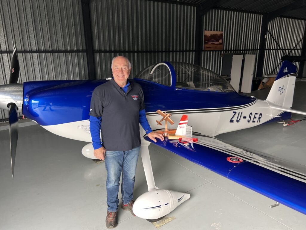
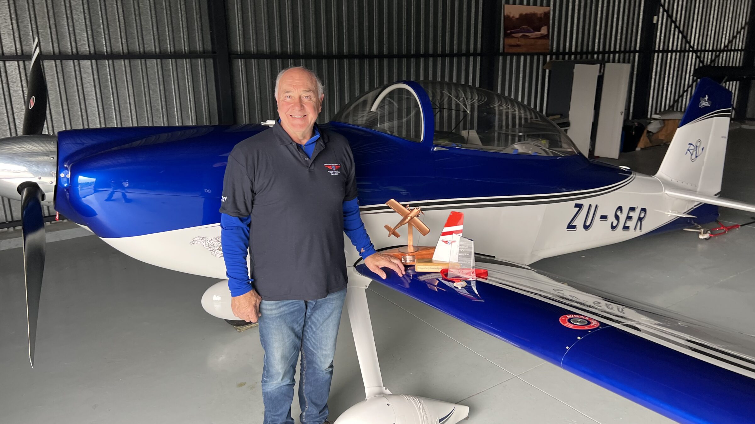
De Villiers ‘Div’ Visser is a former South African Springbok rugby player who successfully combined his irrigation business from irrigation planning, designing to aerial surveying.
Becoming Professional With a Phase One Camera
After exploring the possibilities, Div Visser sought to enhance the quality of his services in early 2015. He contacted GGS, who helped him upgrade to a Phase One iXA180 camera with a 50 mm lens. This allowed him to offer higher-resolution imagery, setting the stage for more complex photogrammetric work.
The precise leaf shutter of the Phase One camera and its event output gave Div the best precision available at that time. It allowed him to streamline his processing workflows, enabling him to handle more significant and more complex projects.
Advancements in Technology and Workflow
By 2016, it had become clear to Div that he needed to improve the accuracy and efficiency of his mapping services further. He added a GNSS-INS (Span CPT) from NovAtel, significantly enhancing the precision of his aerial surveys and reducing his reliance on ground control points.
To complement the improved data acquisition system, he utilized the first-generation iX Controller to store both images and GNSS-INS raw data, facilitating more accurate post-processing. The combination of these technologies enabled Div to take on his first photogrammetric jobs, delivering high-quality outputs for small-sized projects using Pix4D.
A New Phase One Upgrade
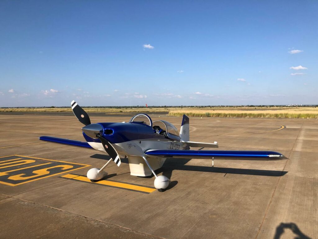
In 2018, Div made another major upgrade: acquiring a Phase One iXM-RS 150F camera with a 90 mm lens.
The iXM-RS150F camera is the imaging heart of GGS’s 150MP System for Aerial Mapping (SAM.M), a fully integrated solution for aerial mapping and surveying, 3D city modelling, corridor mapping and more.
The ease of exchanging from the older camera to the iXM-RS150F made the upgrade fast and simple. In use, the new camera allowed for faster image storage and faster shutter speeds, facilitating fewer flight lines and quicker flights without compromising image quality.
This upgrade was pivotal in enabling Div to take on more extensive and time-sensitive projects, expanding his service offerings significantly.
Mapping Grand Karoo (2018)
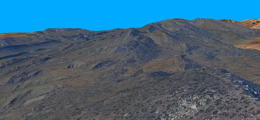
One of the first significant projects with the upgraded system was a large-scale mapping of nearly 90 km² in the Grand Karoo, around Kareefontein near Laingsburg, South Africa.
The project was conducted with a 10 cm Ground Sampling Distance (GSD), providing ultra-high-resolution data that he used to generate a Digital Terrain Model (DTM) and orthophoto for various applications including agricultural development, water management, and natural preservation.
Optimizing and Increasing Effectiveness
With the systems he had acquired, by 2023 Div had grown his business into a reputable aerial survey company.
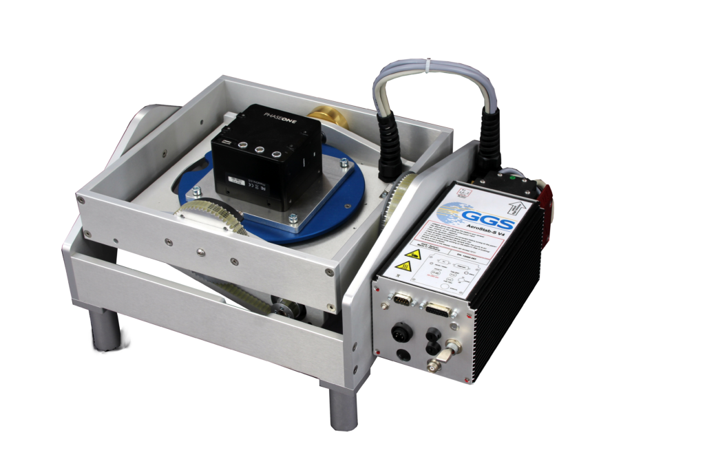
To maintain his competitive edge and optimize his workflow, he upgraded further with an AeroStab-S stabilizer, a TOPOFLIGHT flight management system, and an up-to-date GNSS-INS. These upgrades not only improved the efficiency of his operations but also ensured the highest level of data accuracy and reliability.
With the use of the AeroStab-S, the floating lever-arms of the IMU to GNSS antenna can be calculated into the trajectory extraction. The integration of the camera and GNSS-INS on the stabilizer improves position and attitude accuracy significantly.
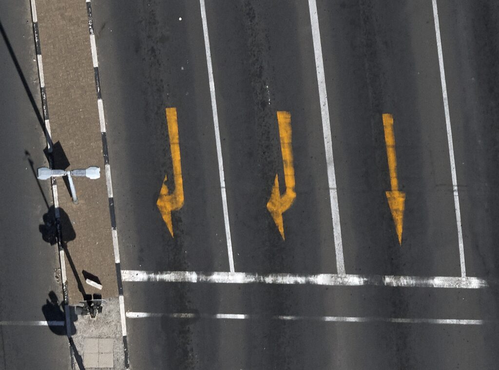
Cape Town Road Reconstruction Survey (2023)
Using this new equipment, Div took on a highly challenging and detailed survey for a road reconstruction project near Cape Town. He needed to generate a Digital Surface Model (DSM) for road reconstruction planning and routing of high voltage electrical cables from a power station.
The survey required a GSD of just 1 cm, necessitating extremely low-altitude flights at minimal speed to avoid motion blur.
The survey’s success is testament to Div’s skill as a pilot. This allows him to offer such projects to clients, increasing his range of services and flexibility. The relatively low costs of his single-engine plane and one-man operation is also competitive over other solutions such as helicopter-based surveying.
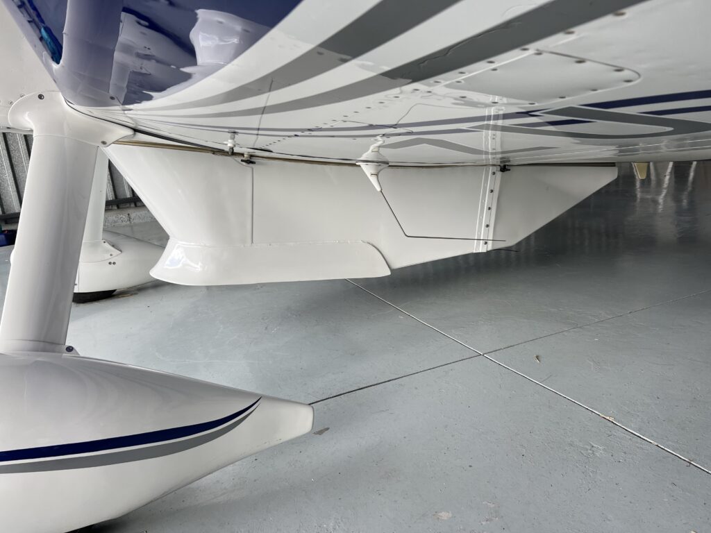
To allow for future expansion, Div designed and built a new, larger pod under his aircraft ready for dual camera systems and LiDAR technology.
Conclusion
State-of-the-art Phase One sensors, aerial surveying equipment, and invaluable support from GGS services has enabled Div to successfully transition and upscale his offerings.
Due to being a one-man operation who is skilled at surveying with a small aircraft, Div can offer highly competitive services, which have been proven in large, small, and complex projects.
His forward-thinking approach to equipment has positioned his company to keep growing and adapting to the evolving needs of the aerial mapping industry.

Geospatial
Eight perspectives, one system

Geospatial
Finding tiny cracks with UAVs opens new opportunities

Geospatial
From capture to corridor intelligence: How Kavel 10 scaled 1 cm mapping with the Phase One + IGI CM-1

Geospatial
From sensors to solutions: How AISPECO orchestrates precision in reality surveying

Geospatial
Monitoring pipeline corridor using PAS 280 large format camera

Geospatial
Preventing Wild Bushfires By Mapping Planned Burns

Geospatial
Inspecting Wind Turbine Blades While They Are Rotating

Geospatial
Precision at Altitude: Redefining Aerial Mapping with the PAS 880 Oblique Camera System

Geospatial
Perfecting telescope dish accuracy with UAV photogrammetry

Geospatial
Saving costs while lowering carbon footprint: Innovative aerial surveying service uses small airplanes enabled by compact cameras

Geospatial
Detecting forest tree diseases using a large-format camera on an ultralight aircraft

Geospatial
Mapping lava flows during volcanic eruptions in Iceland

Geospatial
The PAS Pana: a 48,800-pixel camera innovated with our customer Surdex

Geospatial
Rebuilding after Hawaii’s wildfire with engineering-grade surveying

Geospatial
Revolutionizing Slovenian urban planning: Phase One’s PAS 880i redefines reality mapping