Precision at Altitude: Redefining Aerial Mapping with the PAS 880 Oblique Camera System
EFS GeoTechnologies: Advancing Aerial Mapping with Phase One
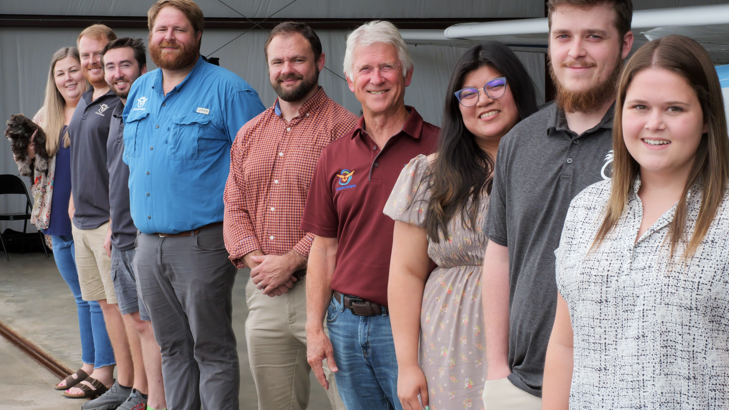
EFS GeoTechnologies (EFS) is an Arkansas-based digital aerial photography and GIS services provider. When a client needed aerial mapping for urban planning and property assessment, EFS knew it had all the tools needed with the Phase One 880 Oblique Camera System.
EFS was founded in 1983 in Monticello, Arkansas. Surrounded by miles of forest, the company got its start by providing aerial mapping for the surrounding forestry industry.
However, EFS found itself at a crossroad and knew it needed to make investments in upgrading its technological offerings to stay relevant in the market and meet clients’ demands.
Each time EFS decided to upgrade its aerial imaging systems, it turned to Phase One Aerial Imaging Solutions to provide the right answer to their customer demands. They cited the sensor size, image processing capabilities, user interfaces and quality customer service as reasons to keep coming back.
EFS GeoTechnologies was founded in 1983 in Monticello, Arkansas
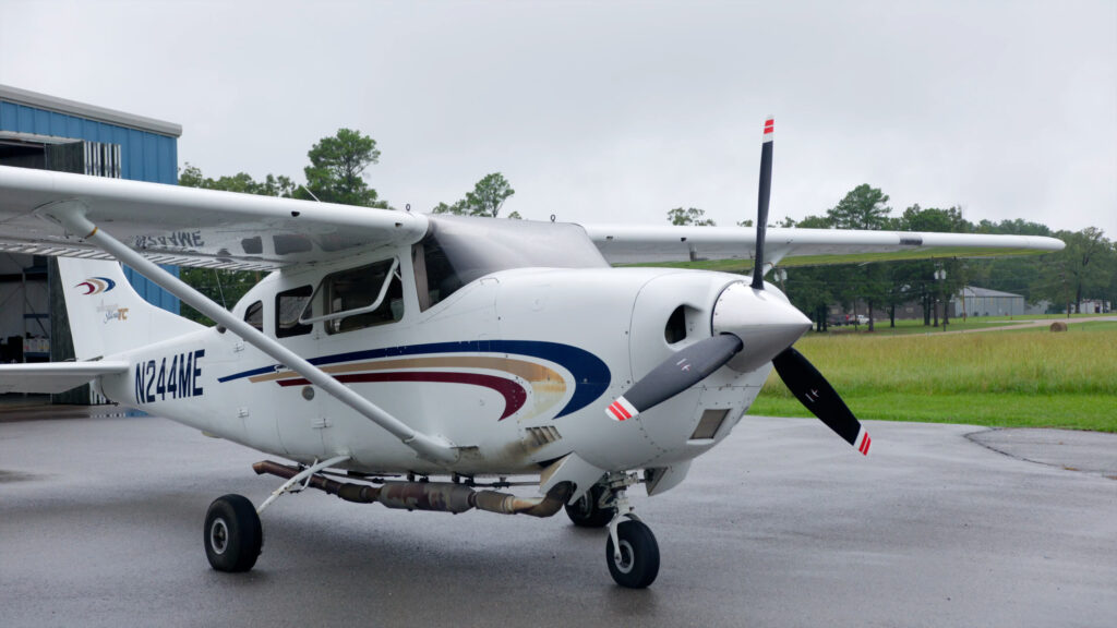
Beginning with the PAS 150
EFS purchased its first PAS systems from Phase One in 2020 — a pair of PAS 150s. Phase One solutions were familiar since its old digital system incorporated Phase One cameras. EFS President James Hartshorn said the company always appreciated the quality and sharpness of the imagery the cameras captured.
The company hit the ground running with its PAS 150 systems and was able to capture precise details that eluded it before with other camera systems. That was only part of the rewards the PAS 150 bestowed. It also dramatically cut the company’s post-production time.
EFS ready to take off
“Switching to the Phase One systems, we were able to combine some processes in post that were traditionally separate — specifically, the stacking of RGB and IR,” said Logan Hancock, EFS Vice President of Imagery Solutions.
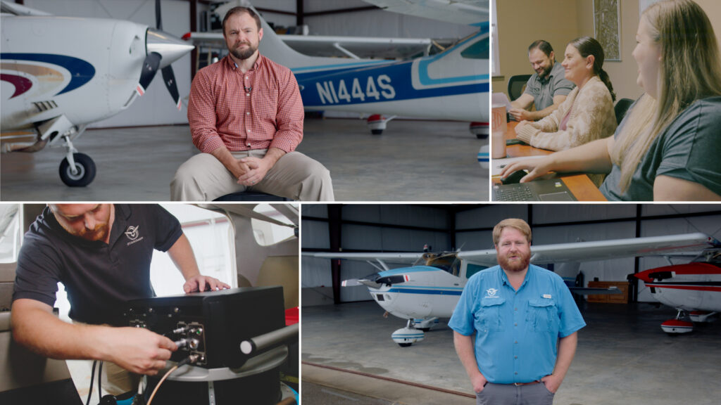
There were a number of factors that made the PAS 150 attractive and instrumental to the projects EFS was completing for its clients. Some of them included its compact size — making it easy to install and efficient to fly with; its quick startup time, the reliability of the system, and its ease of use for a pilot operator.

A Partnership Built on Trust and Reliability: Upgrading to the PAS 880
“It became pretty obvious that the oblique market was really taking off and we needed a way to provide that data to our clients and to, again, remain relevant with the current technology that’s out there.” Hartshorn said.
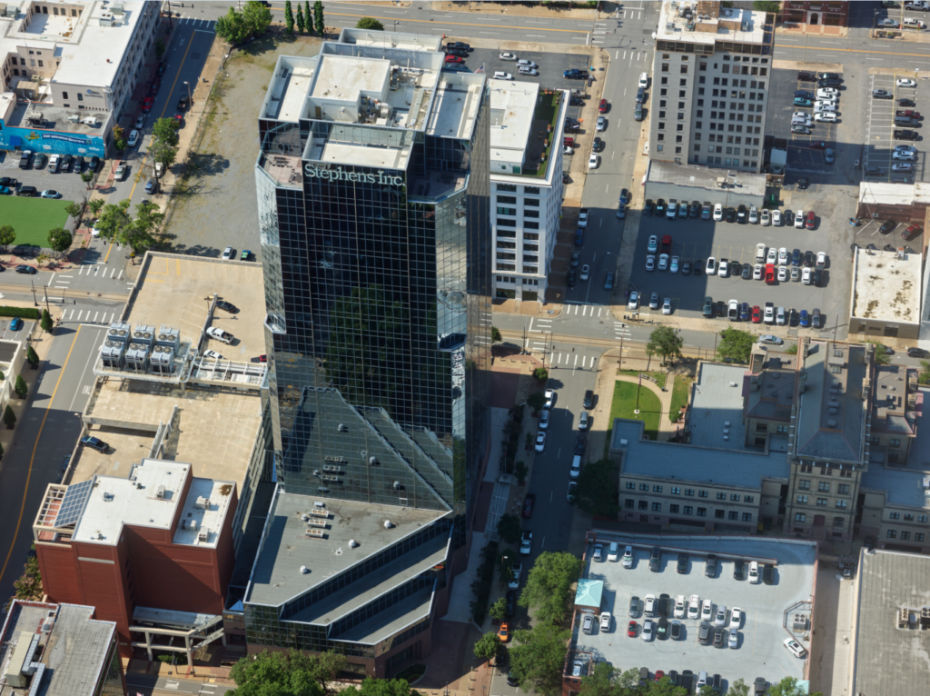
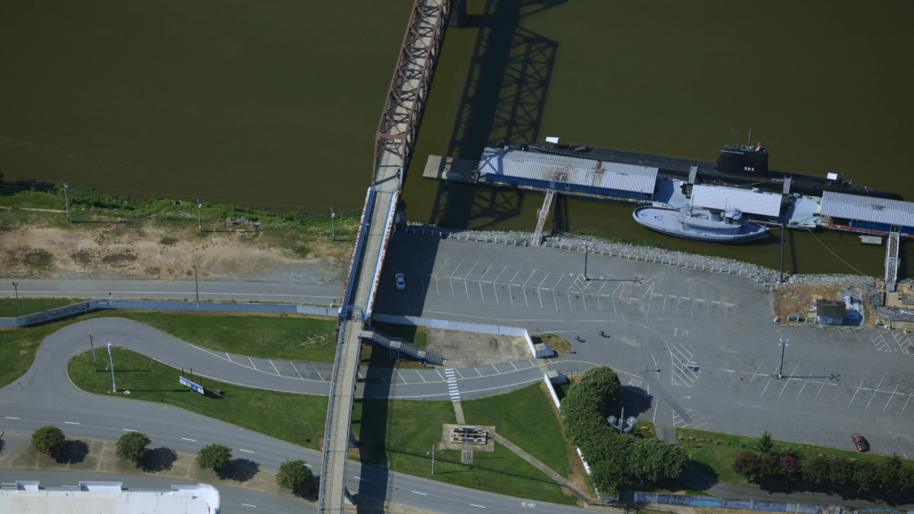
For a recent aerial city mapping job, the use of the oblique cameras was critical for delivering the exact data set their government contract specified. “You are able to see the sides of buildings,” Hancock said. “And it is really important to our clients, because they are assessing what is on the ground, and the value of that for tax purposes. “We are providing the clients with more data to work with than they have ever had before, and so, they can reduce field staff, and get a whole lot more done from behind an office monitor.” Hancock said.
Little Rock is the capital and most populous city of the U.S. state of Arkansas
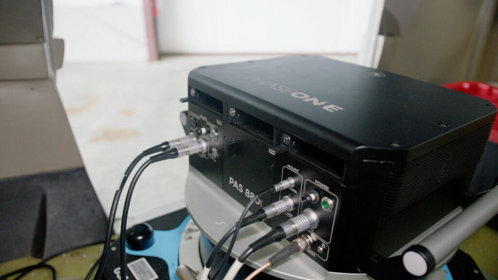
He continued: “There are so many factors that make the PAS 880 such an integral part of EFS’s fleet, it is used even when a project does not require oblique imagery. Equipped with a nadir 280 MP RGB and a 150 MP NIR camera — alongside its four 150 MP oblique RGB cameras — the PAS 880 is ready for nearly any type of aerial imagery mission, regardless of the objective.”
“Not only did it allow us to provide oblique and 3D data to our clients, but it also doubled our footprint for later mapping jobs and so it made us a lot more efficient on the everyday work we had to do.” Hartshorn said.
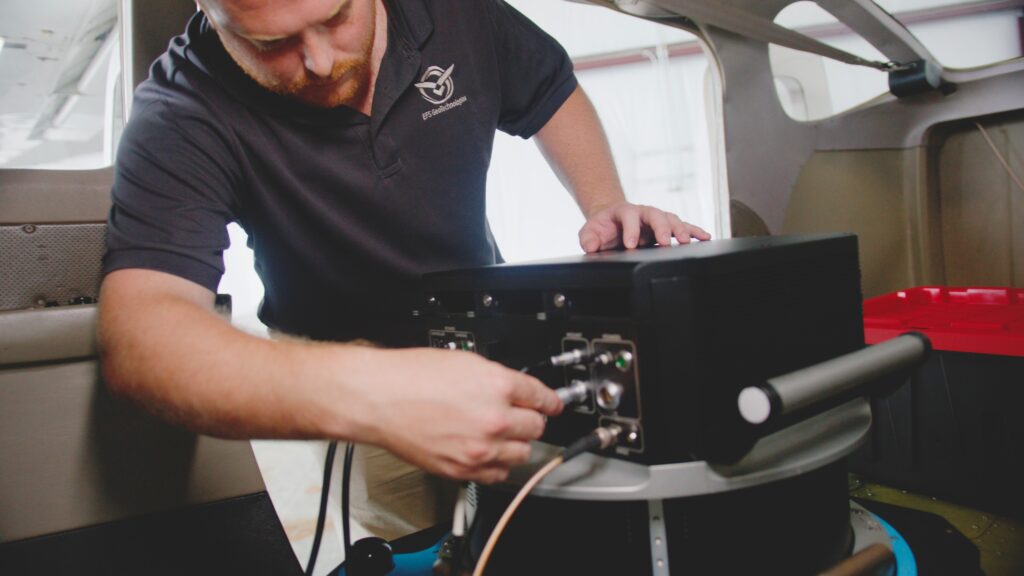
EFS Geotechnologies using the PAS 880
The PAS 880 captures high-resolution data with 20,000 pixels across flight lines for the nadir and 14,000 pixels for each oblique camera. The central leaf shutter supports speeds of up to 1/2500 sec., eliminating motion blur, while the advanced 3.76μm pixel size provides sharp images in any lighting condition.
“You’re not just limited to the 3D,” EFS’s pilot Dilan Culley said. “Our clients who want the oblique — the city modeling or the urban imagery — we’re able to give that to them now. We’ve had an uptick in demand now that we have this as part of our company.”
Phase One PAS 880
The camera system allowed EFS to be more efficient during its missions, cutting down on associated flight costs. On a recent urban mapping mission, EFS was capturing two images every second — resulting in 3,000 images in all that were captured in a fraction of the time such a sortie used to take.
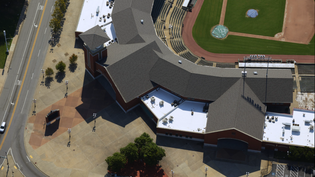
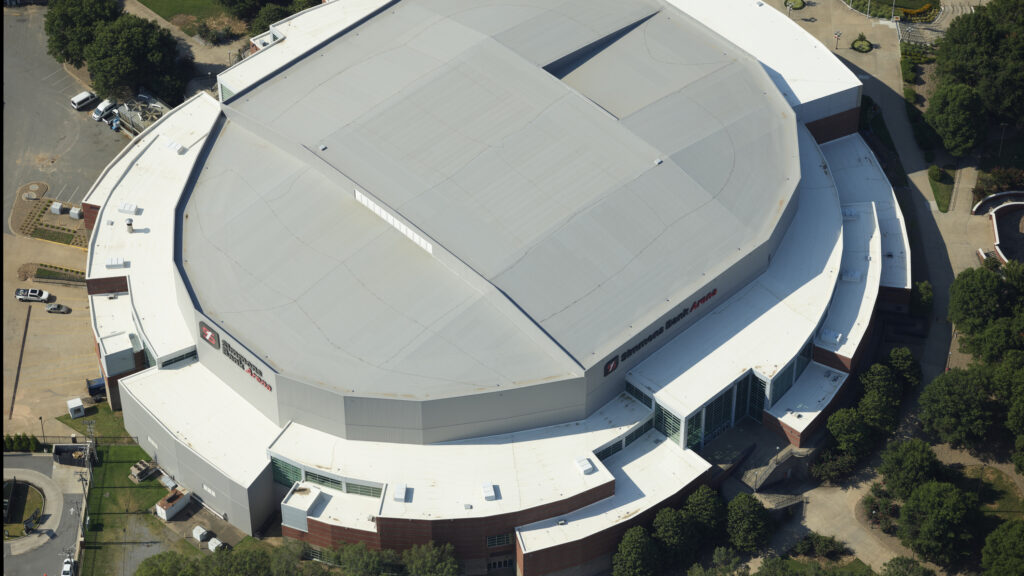
Simmons Bank Area (Little Rock, Arkansas) captured with the PAS 880
We're able to collect such higher resolution imagery from a higher altitude,” Hartshorn said. “We don't have to come down as low to get a 3-inch GSD product or a 1-inch GSD product. In fact, prior to using Phase One solutions, we couldn't even get a 1-inch GSD, because the camera system couldn't even cycle fast enough. If we wanted a 1-inch product, we'd actually fly the line twice.
iX Suite Powering Missions: From Planning to Post Processing
EFS discovered packaging its Phase One aerial imagery systems with the iX Suite resulted in even more productivity and lower costs.
“With the increased efficiencies in the camera systems and the iX Suite software, we’re able to turn around products in half the time we were with our previous family of cameras”, Hancock said. “Clients in today’s world, they want everything yesterday. The quicker we can deliver that to them, the happier they are.”
With the help of the iX Flight Pro software, the operator is able to detect any issue with an image during collection. Therefore, a flight line or the affected images can be reflown immediately while at site, rather than the issue not being discovered until the data is sorted afterwards. Even if an image doesn’t pass quality control after the mission in the post-processing, the iX Process software makes it easy for EFS to get back out in the field and recapture any flight lines that didn’t meet their or their client’s specifications and reincorporate that into the data set seamlessly.

Geospatial
Eight perspectives, one system

Geospatial
Finding tiny cracks with UAVs opens new opportunities

Geospatial
From capture to corridor intelligence: How Kavel 10 scaled 1 cm mapping with the Phase One + IGI CM-1

Geospatial
From sensors to solutions: How AISPECO orchestrates precision in reality surveying

Geospatial
Monitoring pipeline corridor using PAS 280 large format camera

Geospatial
Preventing Wild Bushfires By Mapping Planned Burns

Geospatial
Novice Aerial Photographer Becomes Advanced Mapping Provider

Geospatial
Inspecting Wind Turbine Blades While They Are Rotating

Geospatial
Perfecting telescope dish accuracy with UAV photogrammetry

Geospatial
Saving costs while lowering carbon footprint: Innovative aerial surveying service uses small airplanes enabled by compact cameras

Geospatial
Detecting forest tree diseases using a large-format camera on an ultralight aircraft

Geospatial
Mapping lava flows during volcanic eruptions in Iceland

Geospatial
The PAS Pana: a 48,800-pixel camera innovated with our customer Surdex

Geospatial
Rebuilding after Hawaii’s wildfire with engineering-grade surveying

Geospatial
Revolutionizing Slovenian urban planning: Phase One’s PAS 880i redefines reality mapping