Listen to the Full Article:
The Challenge
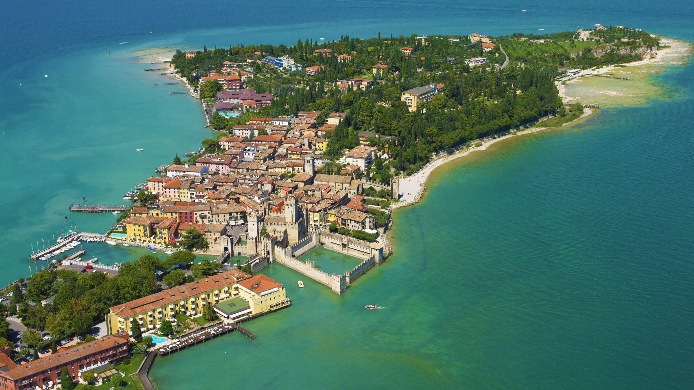
The company L’Europe Vue du Ciel has a long history of providing oblique aerial photography in France using hand-held cameras. As customers increasingly asked for vertical imaging services and when new imaging technologies became available from Phase One, the company identified a gap in the market between large-scale aerial orthography and smaller drone and aircraft operations.
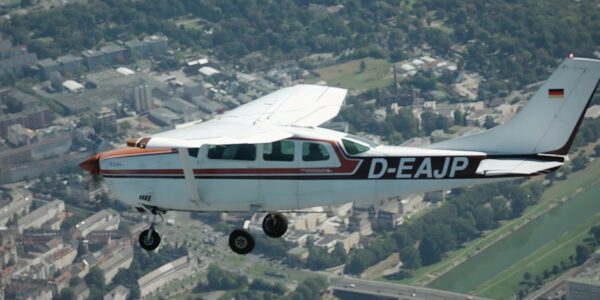
L’Europe Vue du Ciel installed two compact Phase One sensors into small airplanes to make vertical orthophotos. As the Phase One system is extremely small and lightweight, they could use highly efficient flying platforms, allowing them to release a new service offering and embark on a journey that would transform their customer base.
L’Europe vue du ciel
The company has logged more than 8,500 flying hours in helicopters and light planes. In that time, the company has taken more than 1.7 million pictures, covering 22,000 towns in 14 countries.
Experience of providing high-quality images
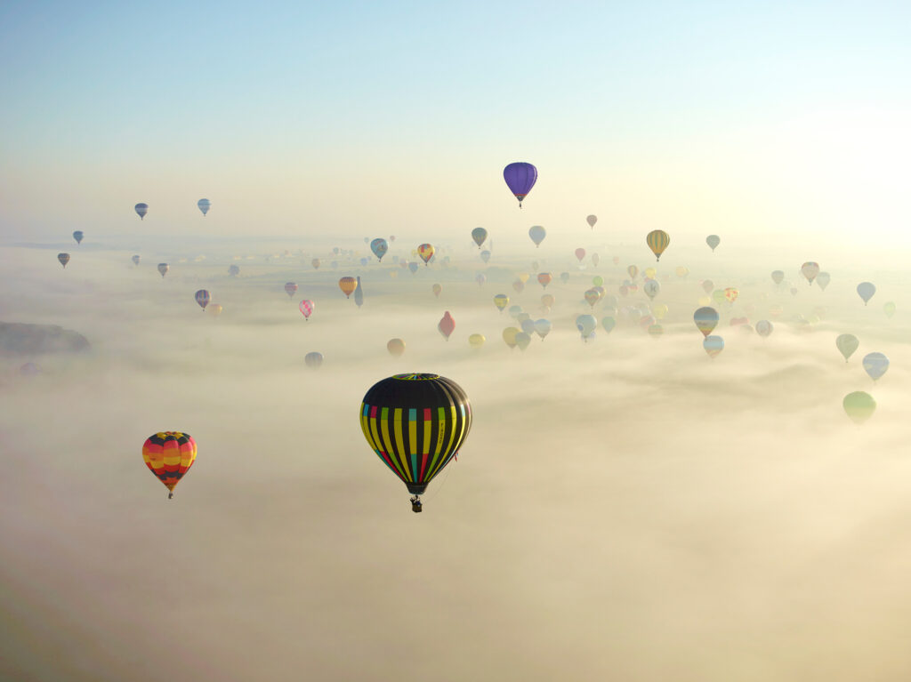
L’Europe Vue du Ciel is located at Chambley Airport in the East of France. Over the past 25 years, the business has focused on aerial photography for communication departments and publishers of newspapers and books. From their earliest days taking oblique pictures in helicopters, the company has used various Phase One sensors. In 2015, they used a Phase One P65+ to capture a flight of 350 hot air balloons in morning fog, winning the 2016 aerial photograph of the year award at the Professional Aerial Photographers Association International competition.
As well as demanding excellent image quality, L’Europe Vue du Ciel places a high emphasis on product reliability. As their operations always take place within a very constrained time window, due to changing weather conditions, effective and successful data capture is paramount.
winner of the 2016 aerial photograph of the year award
Reliability is key for aerial photography
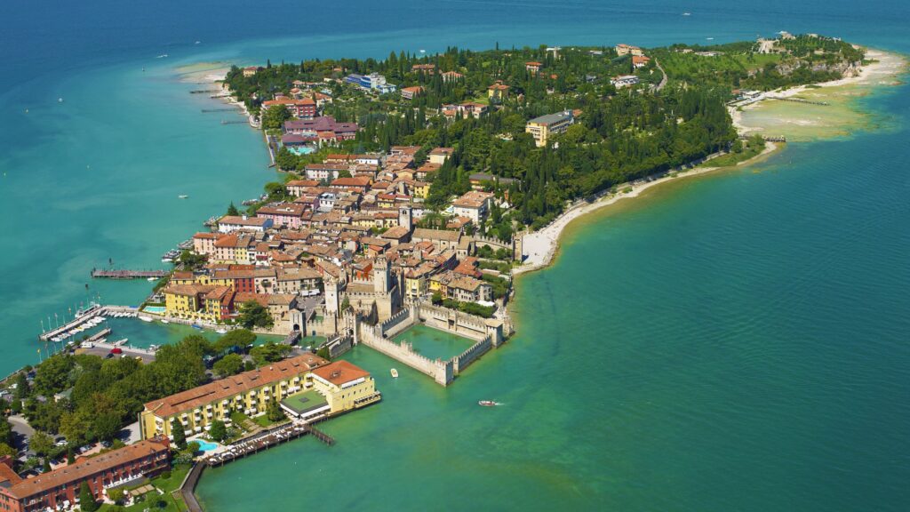
Many of the flights undertaken by L’Europe Vue du Ciel must be done at a certain moment, such as survey work the company undertook for the French Biodiversity Agency to chart the activity along 150 kilometers of beaches.
This project had extremely tight requirements. The survey had to be done during the main holiday season, while the beaches were busy with people. The wind conditions had to be good enough for kitesurfing and windsurfing on the beach, however, at the same time not too strong as to keep the regular beachgoers away. Also, both temperature and tide times had to be suitable for sunworshippers to flock to the beaches.
“The number of days in the year when these conditions are all available in the same time are extremely rare – sometimes it’s limited to only three or four days,” says Jean Luc Kaiser, co-founder of L’Europe Vue du Ciel. “If you then experience problems with either your plane or camera, you cannot simply say to the customer you will do the project in two weeks, because it may no longer be possible to fly and capture the required data. The parameters may have completely changed: the site will not be the same, the leaves on the trees will not be the same. The pictures may not fulfil the set criteria.”
Turning to vertical photography
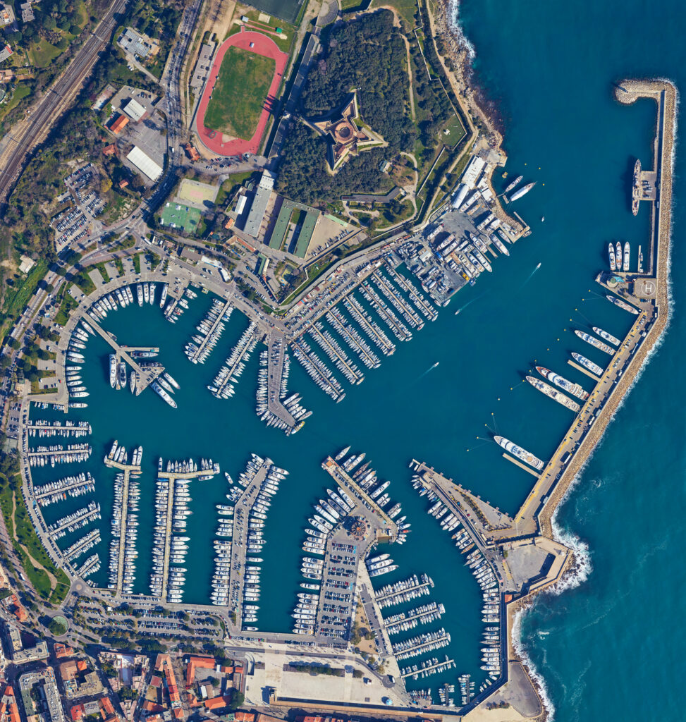
The company’s transition to vertical imaging began with the realization that they could offer more services from each individual flight, allowing them to massively increase their efficiency.
While serving construction projects with monthly aerial photos to document the projects’ progress, L’Europe Vue du Ciel offered to shoot vertically. Following this, they found many other customers who also wanted vertical imaging over a larger area, for which they stitched images together using the simple image editing software Photoshop. However, this solution was no longer sufficient for larger, more sophisticated projects.
Hence, the company adopted PhotoScan software, which enabled them to do real orthophotos on relatively small areas. Moving forward, L’Europe Vue du Ciel realized that switching to airplanes as their main flying platform would allow them to catch a bigger market. This development was further pushed by Adopting new sensors from Phase One, which allowed them to move from single sensors to aerial systems to capture even larger areas whilst making no compromises on sensor reliability and resolution.
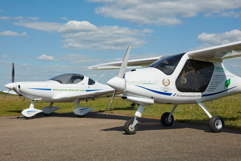
The perfect compact sensor for L’Europe vue du ciel
“When we saw the quality of the photogrammetry – from a camera that weighs just a few kilos and fits in one hand – we knew that adopting the new Phase One sensors would offer exciting new opportunities for us,” says Jean Luc Kaiser.
In the past, cameras for air photogrammetry weighed over 80kg and occupied a volume of about one cubic meter. This required the use of large, often twin-engine aircraft that were usually too expensive for medium-sized projects. But the advent of the new Phase One sensors made photogrammetry compatible with a new generation of light airplanes.
For their Green Observer program, L’Europe vue du ciel chose planes with suitable performance and arranged special modifications including special electrical connections for the laptop and Phase One sensors, and an imaging window in the floor of each plane. The Green Observer One has been developed based on the PIPISTREL Alfa Trainer, while the Green Observer two has been developed based on the AEROSPOOL WT9.
“The Phase One is the perfect camera for what we do,” says Jean Luc. “We like the quality of the pixels, and we particularly like the reliability of the camera, which is extremely important in our business.”
The Green Observers
Unique performance fits between UAVs and larger planes
Because the Green Observer program uses small planes, they are relatively cheap and easy to operate, opening a market niche between what a drone can do and what a traditional orthophoto operator can offer.
Photographing an area of approximately 60km2 is a typical example, which might not grab the interest of a company that uses larger airplanes – particularly if there are specific time requirements such as shooting during the middle of the day. This scenario would bind a lot of expensive resources on one of the very few flying days. For a project that traditional aerial companies would consider to be rather small.
For traditional drone companies on the other hand surveying an area of that size with a drone might take too long and hence resulting in images in which moveable features, eg. tidal waters would vary considerably. L’Europe Vue du Ciel with its Green Observer, however, offers photography with the ability to quickly cover a medium-sized area in a small-time window.
And what is more, the service is inexpensive.
As Jean Luc says, “We can make an orthophoto of a 150-kilometer pipeline construction, flying it one-way for the project manager, then open the door, and fly back the same way, with a handheld camera making oblique pictures for the communication department. In approximately three hours and for a total cost of less as € 7000. Hence, this is not only extremely cost effective but also very efficient, with the added benefit that all pictures are done on the same day, so no variations in light or weather conditions in the images.”
Low emissions, high accuracy
The efficiency of the Green Observer planes brings several other benefits for their customers too.
Using the latest generation of small plane engines, the Green Observers have low noise and low carbon emissions. Using approximately eight liters of fuel (2.1 US Gallons) to fly 100 kilometers, the planes emit only slightly more carbon dioxide than a car, and from two to ten times less than older generations of aircraft generally used in aerial surveys.
While making a 40 km2 orthophoto in one hour with a GSD of 5cm, Green observer One requires just 14 liters of low-lead gasoline. Green Observer Two is flying faster at 225km/h, yet still only requiring 20 liters per hour. Green Observer Two is primarily used for projects over 1000 km2 with a GSD of 5cm.
According to Jean-Luc, some of the orthophotos they make could be considered negative carbon impact, because of the car journeys and petrol burning they save for surveyors, who would otherwise have to drive out to visit numerous different sites.
Customers are also attracted by the low noise level of the planes – particularly those using public money, and others involved with natural protection of parks, birds, or animals.
Our two Phase One cameras have now reached over 800,000 pictures without experiencing any issues. We have always been impressed by the quality of the pictures done with Phase One equipment and we have found reliability we have never had in the past with other brands of mid-size cameras.
Phase One sensors offer faultless reliability
In the past, with non-Phase One sensors, the team often faced extensive problems with shutters that broke, as well as body and electronic problems. With Phase One sensors and aerial systems, luckily these issues are a thing of the past. With the Phase One sensors we benefit from great, reliable cameras that have fewer parts. And the fewer parts you have in the camera, the less chances for failure,” says Jean Luc.
The team often works abroad with their equipment in Europe and sometimes further afield, where they travel with their system and install it into a small local plane –and hence making reliability even more crucial.
A transformed company with a new customer base
Thanks to the Phase One sensors, L’Europe Vue du Ciel can now offer one of the most economical aerial survey solutions available today without compromising on the quality of the pictures. Their customers appreciate the low operating costs, low noise level, and very low carbon impact.
This market innovation has transformed the company. As Jean Luc says: “It has completely changed what we do: our know-how, our equipment; everything has changed. We do not have the same customers today that we had in the past.”
“We are an original company. In France you either find companies who do oblique pictures or companies who do vertical pictures – however, they are two different kinds of work. But at L’Europe Vue due Ciel, we are original because we have the spirit and the know-how to do both.”
Geospatial
Preventing Wild Bushfires By Mapping Planned Burns
Geospatial
Novice Aerial Photographer Becomes Advanced Mapping Provider
Geospatial
Inspecting Wind Turbine Blades While They Are Rotating
Geospatial
Precision at Altitude: Redefining Aerial Mapping with the PAS 880 Oblique Camera System
Geospatial
Perfecting telescope dish accuracy with UAV photogrammetry
Geospatial
Detecting forest tree diseases using a large-format camera on an ultralight aircraft
Geospatial
Mapping lava flows during volcanic eruptions in Iceland
Geospatial
The PAS Pana: a 48,800-pixel camera innovated with our customer Surdex
Geospatial
Rebuilding after Hawaii’s wildfire with engineering-grade surveying
Geospatial
Revolutionizing Slovenian urban planning: Phase One’s PAS 880i redefines reality mapping
Geospatial
Imaging solutions combined with AI and 5G – A new approach and promising to assess forest health and detect and monitor wildfires
Geospatial
Phase One Cameras combined with light, fixed-wing aircraft deliver highly efficient LiDAR and mapping missions
Geospatial
Capturing Glastonbury Festival
Geospatial
Breaking barriers to offshore wind energy development
Geospatial
Using aerial oblique images combined with close range UAV (uncrewed aerial vehicles) based data
