Phase One Featured in GIM International: Sensor Fusion transforms aerial mapping
We’re proud to share that Phase One has been featured in the latest issue of GIM International Magazine (Issue 4, 2025), in the article “Sensor Fusion Transforms Aerial Mapping” by Ada Perello (EAASI).
The article explores how integrated sensor technologies are shaping the future of aerial mapping and how Phase One’s flagship core iXM cameras plays a key role in enabling this transformation.
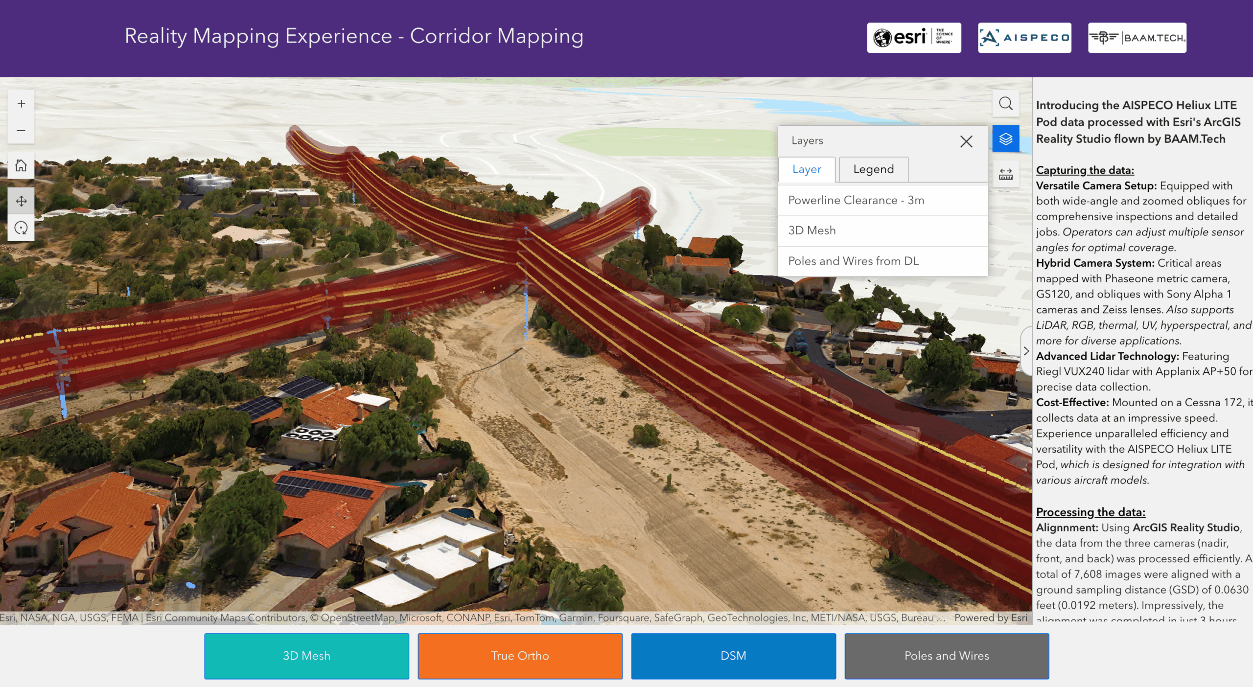
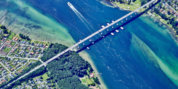
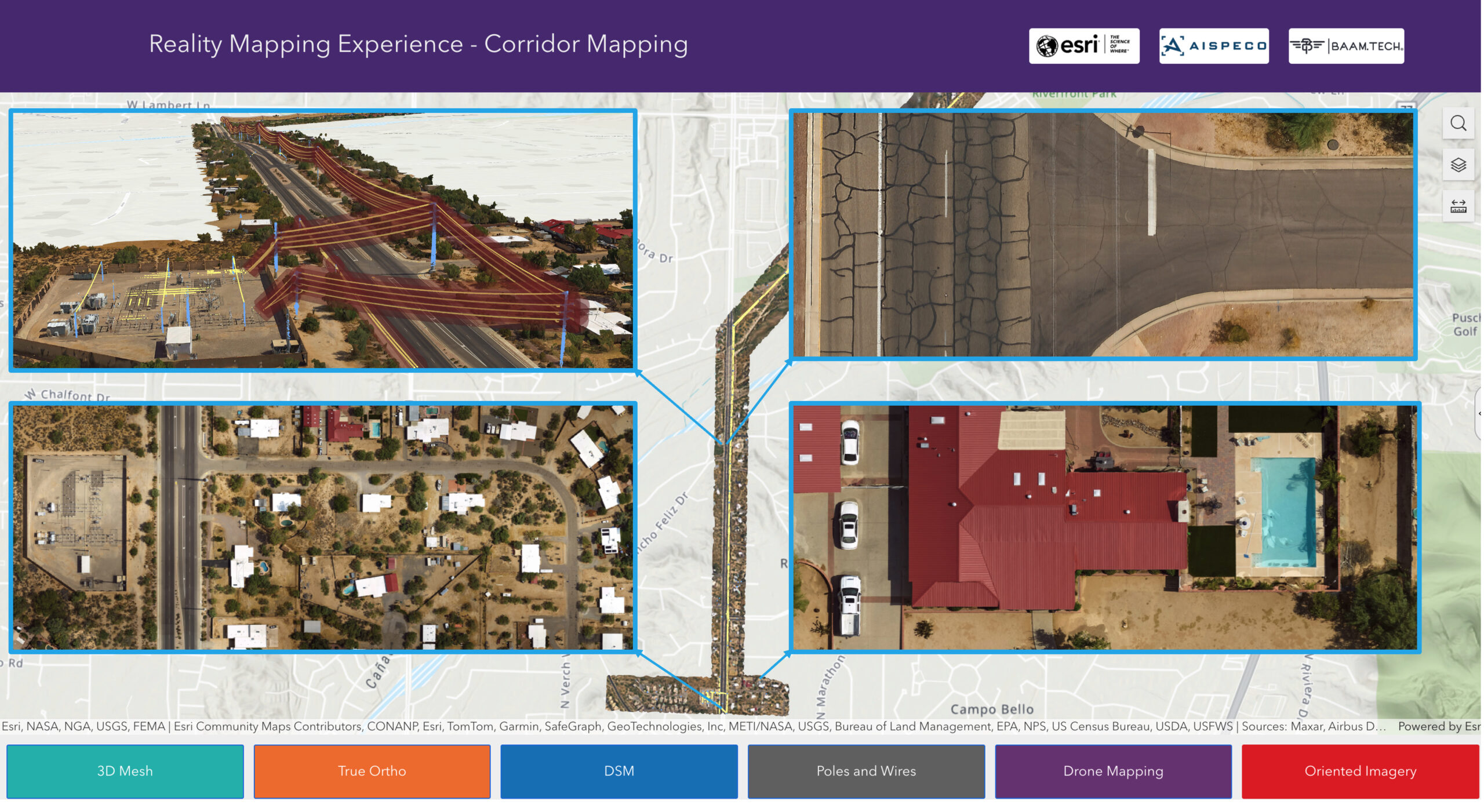
Case study: Hybrid Sensor Fusion for Corridor and Pavement Mapping in Oro Valley, USA
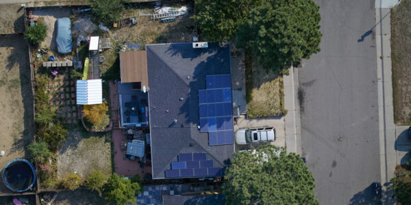
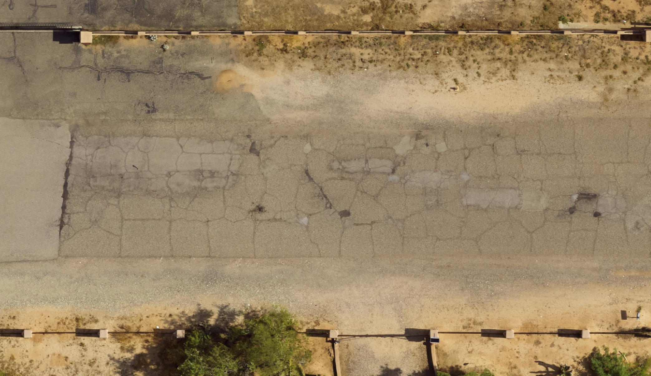
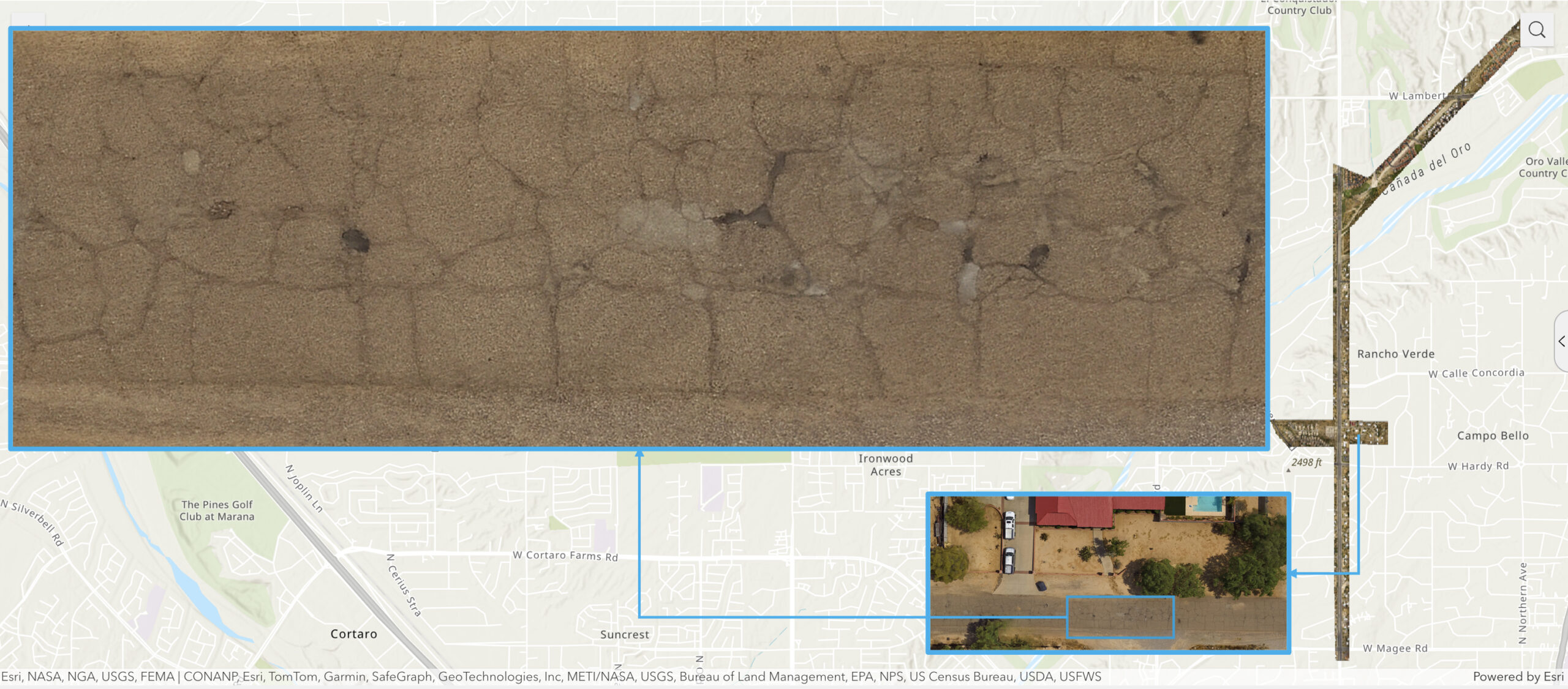
In early 2024, consultancy McKim & Creed conducted a corridor mapping project in Oro Valley to assess road surface conditions and identify areas in need of maintenance.
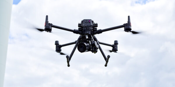
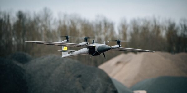
The survey used a hybrid sensor setup housed in the AISPECO Heliux LITE pod, combining multiple advanced sensors to create a unified dataset.
At its core camera was the Phase One iXM-GS120 camera, capturing nadir imagery at an exceptionally sharp 1.9 cm GSD, provided enough details to detect fine surface issues such as pavement cracks.
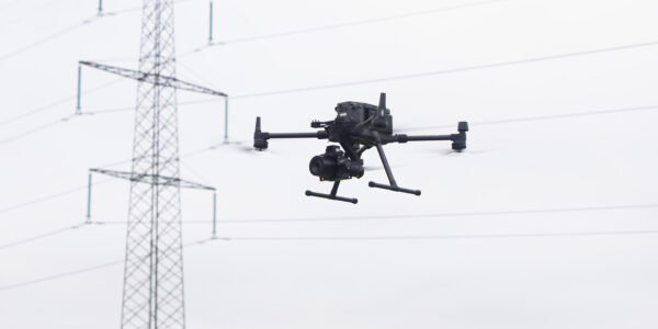
The setup also included a RIEGL VUX-240 LiDAR scanner for 3D point cloud data to capture the electricity utilities, such as powerlines. The accurate georeferencing of this hybrid system was ensured by utilizing the high precision Trimble Applanix AP+50 GNSS/IMU unit.
This sensor fusion approach allowed the simultaneous capture of high-resolution imagery, 3D terrain data, and infrastructure details such as poles, wires, and bridge clearances.
Data processing with Esri’s ArcGIS Reality Studio produced an integrated digital environment, complete with 3D meshes, orthophotos, and DSMs delivering a detailed and operationally valuable digital twin of such infrastructures represented in Esri’s Reality Experience.
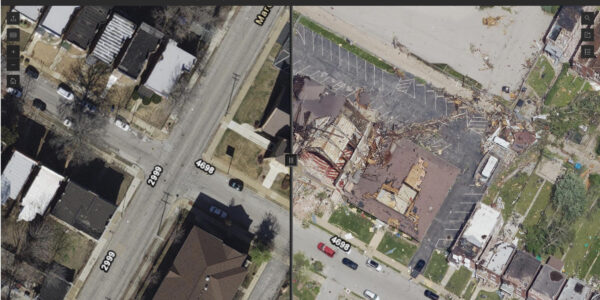
Case study: Sensor fusion for benthic habitat mapping in the Great Lakes
To support the Great Lakes Water Quality Agreement, a large-scale mapping project was launched to classify nearshore benthic habitats across the Laurentian Great Lakes.
Led by a consortium using Teledyne Geospatial technology, the project combined multiple airborne and satellite sensors with field observations to generate high-resolution habitat maps for restoration and resource management.
At its core, bathymetric and topographic LiDAR captured detailed elevation data across both underwater and coastal zones, while hyperspectral imaging systems, including the Phase One 150MP camera, provided critical spectral information to differentiate substrates and vegetation.
By applying machine learning and NOAA’s CMECS classification standard, the team achieved over 90% accuracy in mapping key ecological features, demonstrating how sensor fusion can drive effective environmental monitoring and conservation.
Read the full story
Discover how sensor fusion is transforming the future of aerial mapping in GIM International, Issue 4/2025: https://www.gim-international.com/content/article/sensor-fusion-transforms-aerial-mapping
Share this on social media: