100 Megapixel camera – Efficient
EyeFly has been working with a Phase One 100 Megapixel camera for over six years.
This professional camera in combination with our expertise ensures the best end product. Read more below about the benefits of this camera and how it can support inspection and mapping projects.
Map a larger area in less time
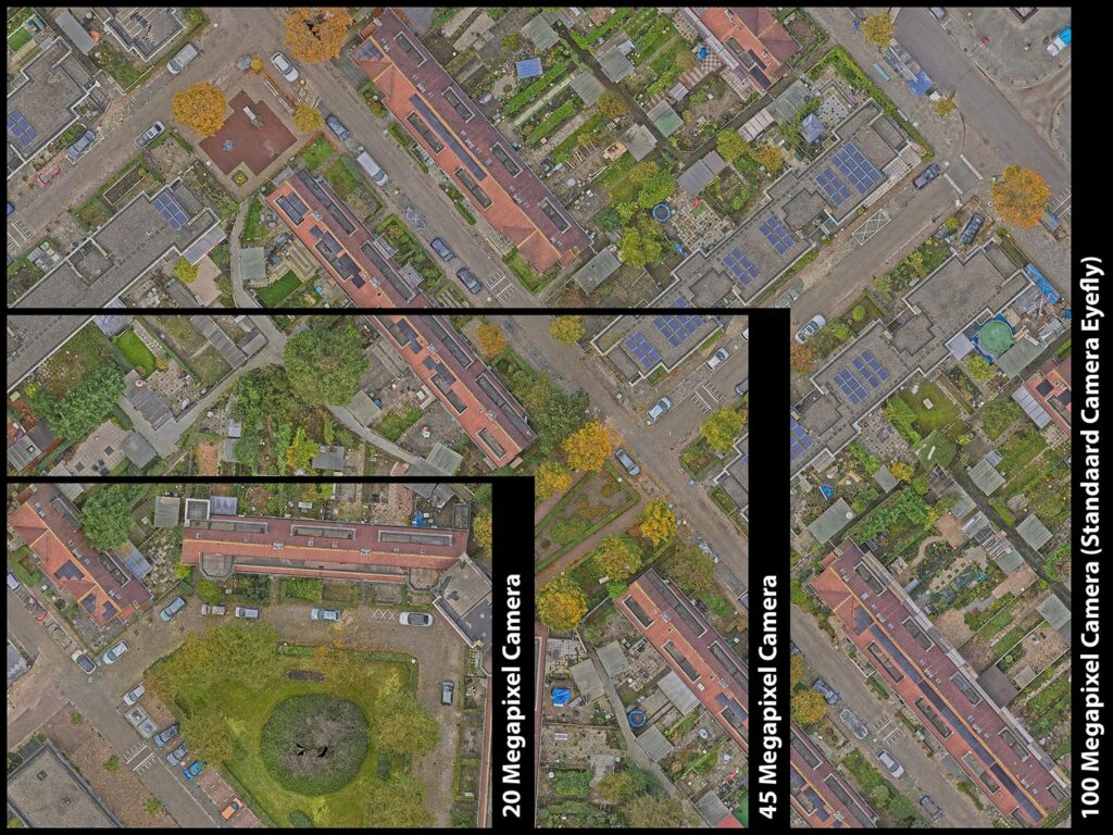
The image above shows how large the area is that is captured with a 20, 45 and 100 Megapixel camera. As shown, a 100 Megapixel camera captures a significantly larger area at once. This allows to work much more efficiently: fewer photos are needed to map a larger area, hence flying takes significantly less time.
Capture 6 times more surface area
“Compared to the most commonly used 20 Megapixel cameras, we gain an average of 6 times as much surface area in the same flight time. Because we capture a larger area in one go, this also means that we can process the images quicker and more efficiently”, says Remco Kootstra, CEO of EyeFly.
Everything for the desired final product
High quality photos make for high quality products. For each project, we determine how we will collect the photos and with what resolution. In this way we can ultimately deliver the desired product. Often, a 3D point cloud is often the basis for our end products, requiring the level of detail of the point cloud to match the products that are being realised.
More depth and details through dynamic range
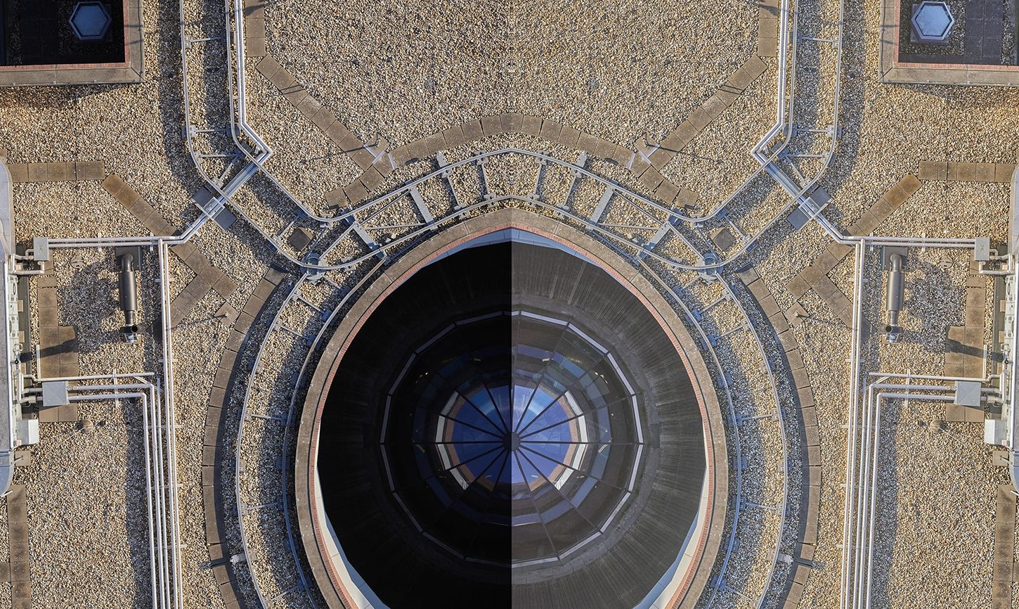
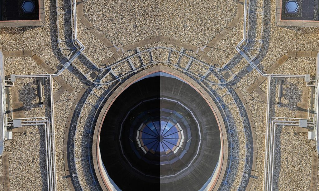
As EyeFly cannot always fly in the most optimal weather conditions, they are facing additional challenges. In certain weather conditions, if it is a dark and extremely cloudy day, or in reverse when there is a lot of sunshine, shadows can appear in the images. This significantly impacts the visibility of small details. The iXM 100 Megapixel camera from Phase One offers a high dynamic range, allowing to edit the shadows and dark photos easily with appropriate software. This increases the depth of the image and results in substantially better visibility of important details.
The image on the left shows the end result of a photo with and without dynamic range.
Geospatial
Preventing Wild Bushfires By Mapping Planned Burns
Geospatial
Novice Aerial Photographer Becomes Advanced Mapping Provider
Geospatial
Inspecting Wind Turbine Blades While They Are Rotating
Geospatial
Precision at Altitude: Redefining Aerial Mapping with the PAS 880 Oblique Camera System
Geospatial
Perfecting telescope dish accuracy with UAV photogrammetry
Geospatial
Saving costs while lowering carbon footprint: Innovative aerial surveying service uses small airplanes enabled by compact cameras
Geospatial
Detecting forest tree diseases using a large-format camera on an ultralight aircraft
Geospatial
Mapping lava flows during volcanic eruptions in Iceland
Geospatial
The PAS Pana: a 48,800-pixel camera innovated with our customer Surdex
Geospatial
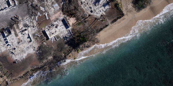
Rebuilding after Hawaii’s wildfire with engineering-grade surveying
Geospatial
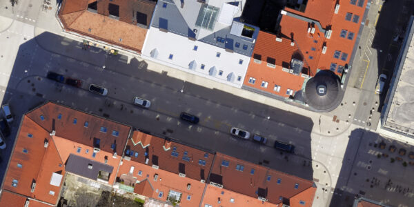
Revolutionizing Slovenian urban planning: Phase One’s PAS 880i redefines reality mapping
Geospatial
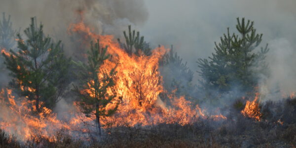
Imaging solutions combined with AI and 5G – A new approach and promising to assess forest health and detect and monitor wildfires
Geospatial
Phase One Cameras combined with light, fixed-wing aircraft deliver highly efficient LiDAR and mapping missions
Geospatial
Capturing Glastonbury Festival
Geospatial
Breaking barriers to offshore wind energy development
