Bridge Inspection
3D Bridge Inspection: Achieve Close-to-1mm GSD Pixel with a Large Footprint
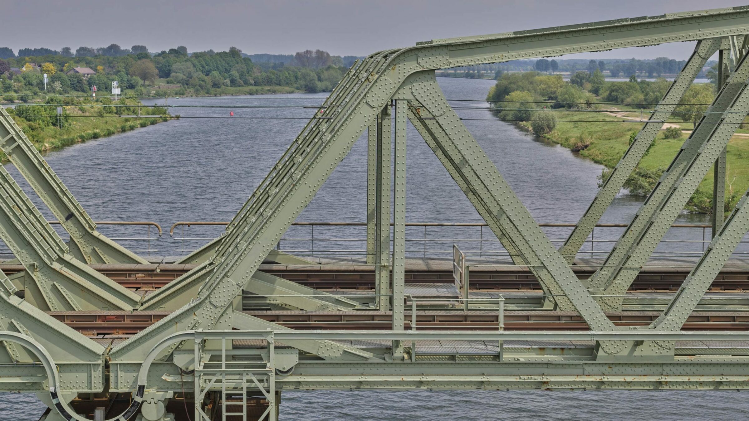
Eyefly uses a Phase One iXM-100 to fly closer to Buggenum Railbridge and achieve a resolution of nearly 1mm with an image footprint of 12m x 9m from a flight height of 10 meters distance . Data is used to create and provide a 3D mesh and inspection platform of the structure for the required annual bridge inspection.
Annual bridge inspection using 3D models
Eyefly uses a Phase One iXM-100 to fly closer to Buggenum Railbridge and achieve a resolution of nearly 1mm with an image footprint of 12m x 9m from a flight height of 10 meters distance. This 3D Bridge Inspection technique allows data is used to create and provide a 3D mesh and inspection platform of the structure for the required annual bridge inspection.
Image: One can identify and zoom, with high-resolution images onto areas of the bridge that require maintenance – Eyefly 2020 ©.
Our business has grown since we started with Phase One cameras as we are able to provide our customers with all the data that they need in one flight. The result is satisfied end-users who come back as we can provide them with more details and better accuracy than we could with lower resolution sensors
Eyefly acquires high-resolution aerial data in congested areas and controlled airspace
Dutch company Eyefly is a fully certified drone operator in the Netherlands that has obtained papers regarding the commercial use of drones and additional certificates for flying in congested areas and controlled airspaces. The company focuses on performing inspections and mapping (2D and 3D models) with aircraft that have been tested by the Netherlands Aerospace Center and registered in the aviation records.
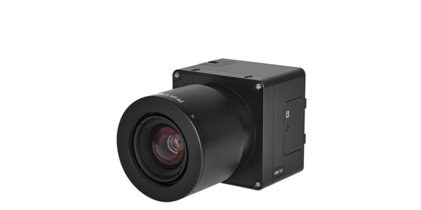
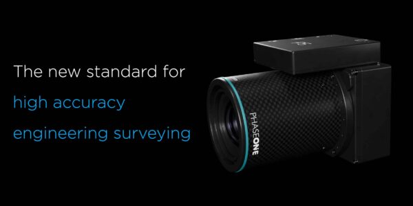
The company offers a specialist level of expertise and skills in infrastructure, construction, geo-information, and surveying. To provide the best results with their existing certified equipment they need to use high-resolution cameras that are ready to integrate. The Phase One Industrial iXM-100 camera easily integrates with their DJI M600 and Freefly Alta UAVs and provides close-to-1mm resolution data, with a large footprint, at a safe enough distance from the object to meet their safety requirements.
Bridge Inspection
Annual maintenance inspection of bridges
An annual maintenance inspection of Buggenum Railbridge is required to identify changes in the structure from year to year. Areas of wear and damage are identified. Areas with the highest changes are seen and given priority.
Before acquiring Phase One drone camera Eyefly faced the challenge of keeping their UAVs at a safe distance from the bridge and still get a resolution/GSD pixel close to 1mm. Lower resolution sensors meant tens of thousands of images with smaller footprints had to be captured over a number of days.
Images were just provided to their clients via a sharing platform like WeTransfer instead of providing a cloud-based model. So many images without the ability to correctly trace back their position made it too difficult, if not impossible, to generate a 3D mesh of the structure.
Inspection via web-based 3D models
Availability of GPS is limited on the underside of the bridge. Images are therefore captured with a large overlap in order for their processing software to provide orientation parameters and position data.
The iXM-100 EyeFly has reduced the number of images enormously and is able to create a 3D model of the entire project for their web-based platform with inspection functionality. This method allows their clients to perform an inspection much more efficiently without losing detail and doing any compromises.

Large footprint without reducing the level of detail
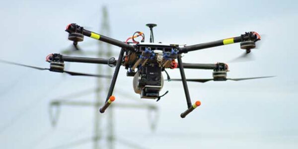
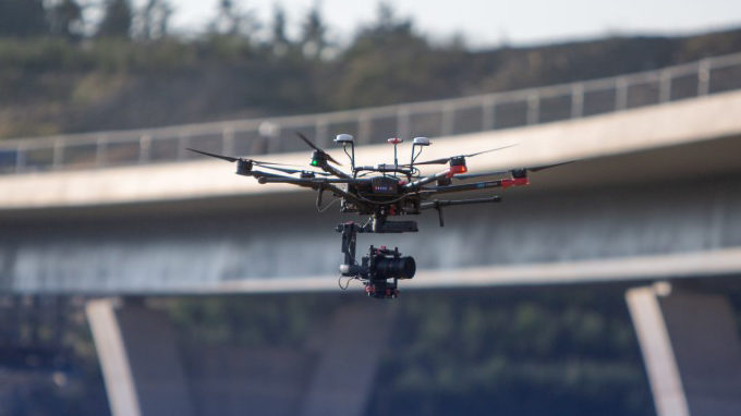
Eyefly company director, Remco Koostra explains “We chose the iXM-100 as it easily integrates with our DJI M600 platform in combination with the Phase One iX Capture Mobile Application.”
“The camera is used on both our DJI M600 and Freefly Alta UAVs. The M600 is used for capturing top and sides part of the structure and the Alta enables us to perform an inspection from the underside of the bridge because of the ability to mount the iXM-100 on top” continues Koostra.
Eyefly uses the RSM 80 mm lens as it has a focus of 10m to ∞ while the RSM 35 mm AF lens is only 30m to ∞. The 80 mm lens enables them to fly closer to the bridge and achieve a resolution of nearly 1mm with an image footprint of 12m x 9m from a flight height of 10 meters distance from the object.
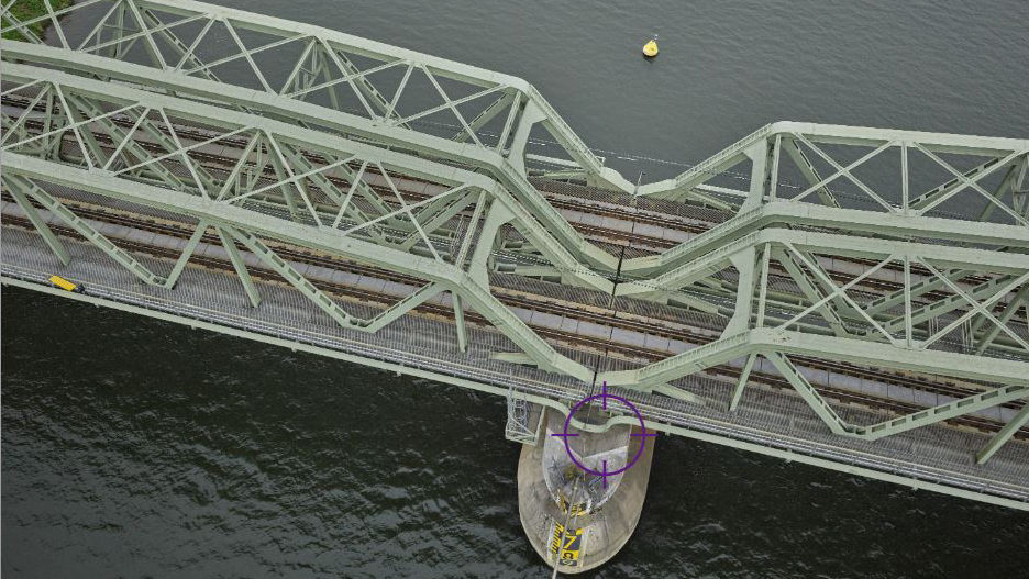
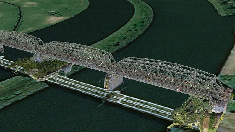
Image: 3D Model of Buggenum Railbridge – Eyefly 2020 ©.
Integrated drone payload
The system includes:
-
- Phase One iXM-100 medium-format camera
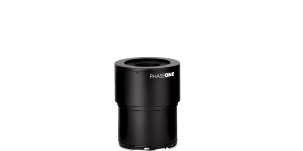
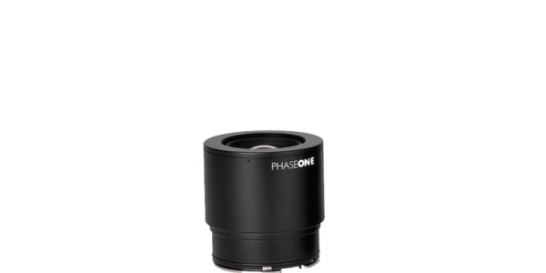
- 35mm RSM lens – focus of 30m to ∞
- 80mm RSM lens – focus of 10m to ∞
- DJI M600 PRO drone
- Phase One iX Capture Mobile application
The Phase One iXM-100 camera easily integrates with Eyefly’s DJI M600 UAV and by using the iX Capture Mobile application, full camera control and remote management is obtained.

Geospatial
Eight perspectives, one system

Geospatial
Finding tiny cracks with UAVs opens new opportunities

Geospatial
From capture to corridor intelligence: How Kavel 10 scaled 1 cm mapping with the Phase One + IGI CM-1

Geospatial
From sensors to solutions: How AISPECO orchestrates precision in reality surveying

Geospatial
Monitoring pipeline corridor using PAS 280 large format camera

Geospatial
Preventing Wild Bushfires By Mapping Planned Burns

Geospatial
Novice Aerial Photographer Becomes Advanced Mapping Provider

Geospatial
Inspecting Wind Turbine Blades While They Are Rotating

Geospatial
Precision at Altitude: Redefining Aerial Mapping with the PAS 880 Oblique Camera System

Geospatial
Perfecting telescope dish accuracy with UAV photogrammetry

Geospatial
Saving costs while lowering carbon footprint: Innovative aerial surveying service uses small airplanes enabled by compact cameras

Geospatial
Detecting forest tree diseases using a large-format camera on an ultralight aircraft

Geospatial
Mapping lava flows during volcanic eruptions in Iceland

Geospatial
The PAS Pana: a 48,800-pixel camera innovated with our customer Surdex

Geospatial
Rebuilding after Hawaii’s wildfire with engineering-grade surveying
Press Release
Phase One, Quantum Systems and Trimble unveil groundbreaking survey grade UAV solution with the launch of Phase One P5 camera
Geospatial
Phase One Selects Globe Flight as Sales Partner for Drone Solutions in Germany and Austria
Press Release
Phase One ernennt Globe Flight GmbH als Vertriebspartner für Drohnenlösungen in Deutschland und Österreich
Press Release
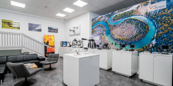
Remote Vision Named as Swiss Reseller of Phase One Drone Payloads