SITE & SAFETY
Building Stable UAV Platforms for Photogrammetry Surveys
Designing a special UAV around the Phase One camera three times more powerful, to ensure smooth and precise flight under any weather condition.
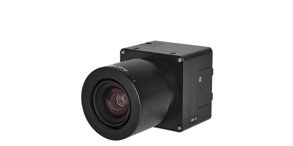
Choosing Phase One Camera
Since the photogrammetric results achieved with a Phase One aerial camera have been proven on manned aircraft missions, operators were interested in applying the capabilities of the cameras for the UAV market.
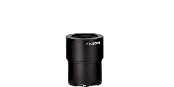
One of the features that stood out was the pinpoint accuracy provided by these metric-calibrated cameras. All cameras employ mechanisms to solidly lock their lens to the camera body. Despite inflight vibrations, the rigidity of the camera and lens provide metric data with pinpoint accuracy for mapping and other applications.
CopterSystems researched the features of Phase One cameras and liked the way they function, especially how easily they are controlled from the ground.
Building the UAV
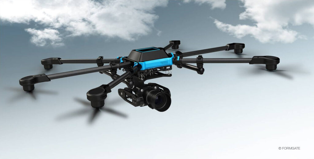
The demand reached a point when CopterSystems made a decision to develop a special UAV for Phase One cameras, which they called the CS-P.O.C. After CopterSystems made the decision to use Phase One cameras for their solution, they started to develop a UAV around the camera. Their main goals were to:
Over the years, we have gained practical experience from users around the world and we decided to build a solution that combines the best aerial camera and UAV. Therefore, we chose to go with the Phase One camera. Once this decision was made, we planned the entire UAV around the camera, which enabled us to choose the best components, to match that weight, performance, flight time and stability and of course, safety!
Focusing on Stability and Security
As in all aviation design, security is the number one concern to deal with. With this in mind, the CS-P.O.C. was built with a high redundancy. The CS-P.O.C. offers a dual flight controller, dual power supply via rechargeable batteries, safety given by six rotors, a dual GNSS board and a dual remote control. Even in case one of these systems stops working, the second one takes over and enables a safe landing or a safe return.
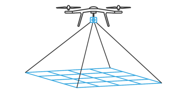
With the latest technology of engines, the six rotor UAV is three times more powerful than what is needed for lift off capacity to weight ratio. For a precise and smooth flight, only one third of the maximum engine power is needed, so if the UAV encounters strong wind conditions, the stability will not be at risk. The stability of the flight is essential, not just for the security of the UAV, but a stabile flight means that the correct overlapping enables the necessary spacing of images, which is needed to make a final orthophoto and at the same time avoid black spots. The success of a photogrammetric flight depends on the stability of the UAV.
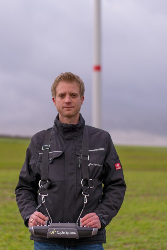
To control the CS-P.O.C., CopterSystems use a German- made remote control, which gives an operator complete control of the UAV and camera during the entire mission. The Live View feed from the Phase One camera with its 100MP sensor or its 50MP sensor, can be streamed, and the operator can use it to maneuver the UAV to the correct position when waypoints are not used. Being able to view the exact field of view of the camera is a real benefit when the system is used for inspection. Other camera parameters (e.g. aperture, ISO, shutter speed and more), can be controlled by the remote control as well and enabling the operator to get the best image quality possible while flying.
Beside the interactive control the UAV offers, the UAV was built with a stable camera setup for a pure nadir view or a gimbal mount. This allows an operator to change the camera position from a straight nadir, straight forward and even pointing up. This flexibility to aim the camera at objects over a 180 degree radius, enables operators to point the camera straight up under bridges, for inspection of the lower surfaces of a bridge.
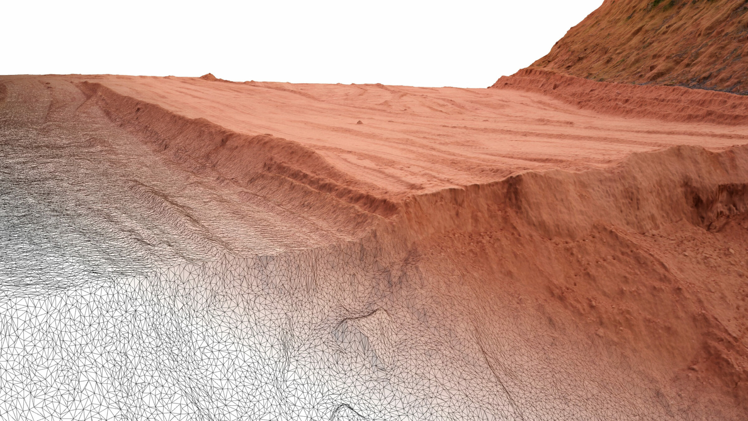
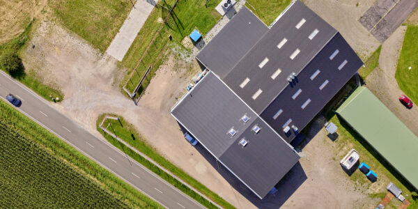
Project: Sand Mine
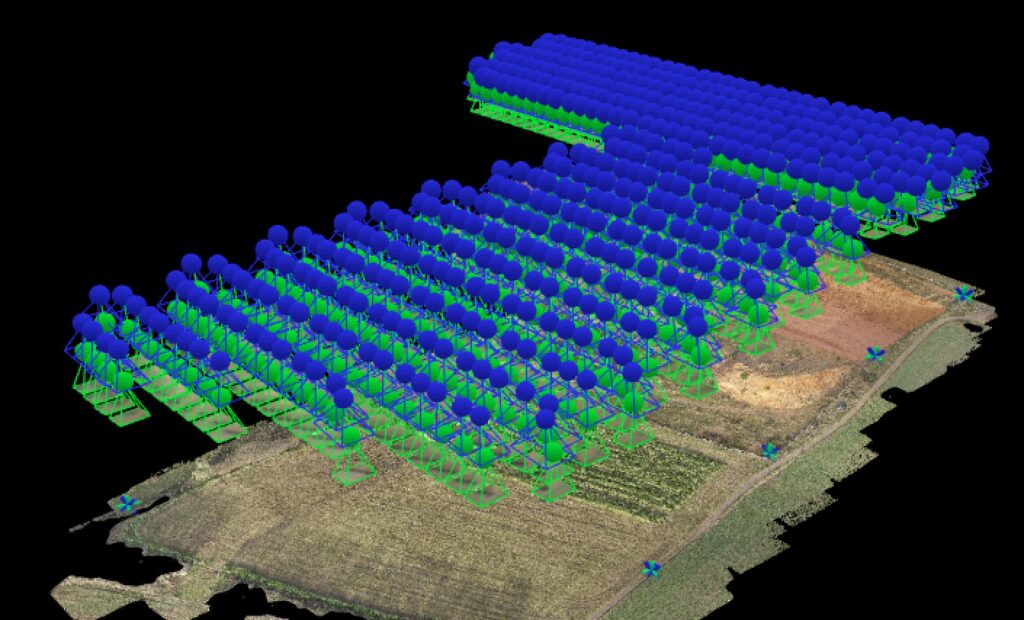
During a demonstration for a survey company in the south of Germany, CopterSystems flew a CS-P.O.C. carrying a Phase One camera with a 50MP sensor, equipped with a Schneider-Kreuznach 55 mm lens surveying over a sand mine. The complete site was approximately 400 by 500 meter and a ground sample distance (GSD) of 0.75 cm was chosen. In total, 444 images were captured during the flight, which resulted in 21 lines, with a different number of images for each line due to the shape of the area.
A further DTM and 3D point cloud, as well as an orthophoto, were generated, and the results showed the full photogrammetric potential of the CS-P.O.C. with a Phase One 50MP camera as a survey tool. The survey company which executed the project, together with CopterSystems, was very impressed by the complete workflow and how little time this project took to complete. A major factor was due to the shape of the mine. The UAV was able to aerial capture and survey parts of the mine that were classified as unstable to walk on. Using photogrammetry mapping cameras enabled the survey company to measure points in these areas as well and increase the complete results of the mass calculation to a higher standard than was previously known before.

Geospatial
Eight perspectives, one system

Geospatial
Finding tiny cracks with UAVs opens new opportunities

Geospatial
From capture to corridor intelligence: How Kavel 10 scaled 1 cm mapping with the Phase One + IGI CM-1

Geospatial
From sensors to solutions: How AISPECO orchestrates precision in reality surveying

Geospatial
Monitoring pipeline corridor using PAS 280 large format camera

Geospatial
Preventing Wild Bushfires By Mapping Planned Burns

Geospatial
Novice Aerial Photographer Becomes Advanced Mapping Provider

Geospatial
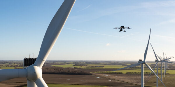
Inspecting Wind Turbine Blades While They Are Rotating

Geospatial
Precision at Altitude: Redefining Aerial Mapping with the PAS 880 Oblique Camera System

Geospatial
Perfecting telescope dish accuracy with UAV photogrammetry

Geospatial
Saving costs while lowering carbon footprint: Innovative aerial surveying service uses small airplanes enabled by compact cameras

Geospatial
Detecting forest tree diseases using a large-format camera on an ultralight aircraft

Geospatial
Mapping lava flows during volcanic eruptions in Iceland

Geospatial
The PAS Pana: a 48,800-pixel camera innovated with our customer Surdex

Geospatial
Rebuilding after Hawaii’s wildfire with engineering-grade surveying
Press Release
Phase One strengthens distribution network with DroneStars for Enhanced UAV Inspection in the Benelux region
Geospatial Blog
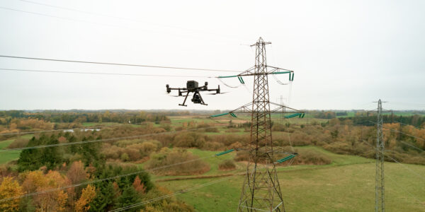
Unlocking Efficiency: The Holistic Approach to Drone-Based Utility Inspections
Press Release
Phase One expands distributor reach with Measur for strong UAV inspection growth in the Canadian market
Geospatial Blog
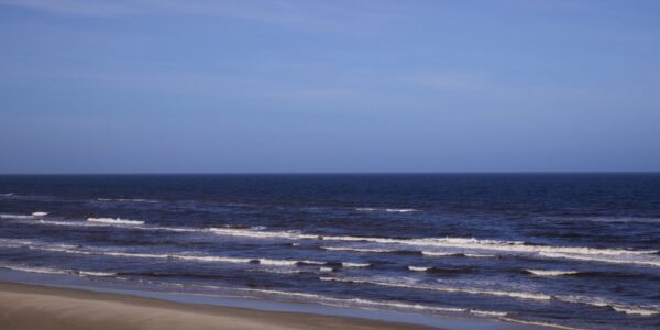
Technology Turning the Tide Against Ocean Plastic Pollution
Geospatial Blog
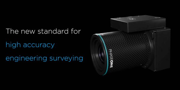
Setting the New Standard: Evaluating Survey-Grade Accuracy with the Phase One P5
Press Release
Phase One Partners with gNext to Revolutionize Asset Inspections based on Intelligent Image Quality (IIQ)
Geospatial Blog
Part One of: Taking Off – a checklist for the start of the inspection flying season

Geospatial Blog
Insights and future trends at Geo Week 2024
Press Release
Cyberhawk selects Phase One in their pursuit of revolutionizing drone-based industrial inspection by delivering more value in less time.
Press Release
Phase One, Quantum Systems and Trimble unveil groundbreaking survey grade UAV solution with the launch of Phase One P5 camera
Press Release
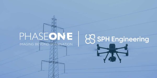
SPH Engineering and Phase One Team Up to Enhance Visual Inspections with ImageInspector Solution

Press Release
Phase One certifies Xer Technologies’ hybrid electric X8 BVLOS capable UAS for next-generation high-resolution inspections

Press Release
Phase One and Boston Announce Partnership for strong Drone Imaging collaboration in the Nordics
Geospatial
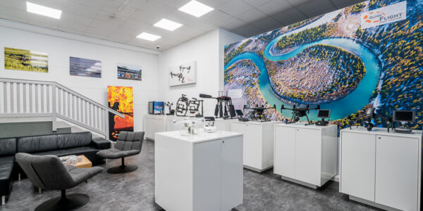
Phase One Selects Globe Flight as Sales Partner for Drone Solutions in Germany and Austria
Press Release
Phase One ernennt Globe Flight GmbH als Vertriebspartner für Drohnenlösungen in Deutschland und Österreich